GMC Gellibrand River Estuary Mouth Observation Site
31 October 2009
Observation details
Overview
| Estuary | Gellibrand River Estuary |
|---|---|
| Site | Gellibrand River Estuary Mouth Observation Site |
| Observation ID | #2761 |
| Date and Time | Saturday 31st October 2009 10:10am |
| Approved | Approved |
Notes
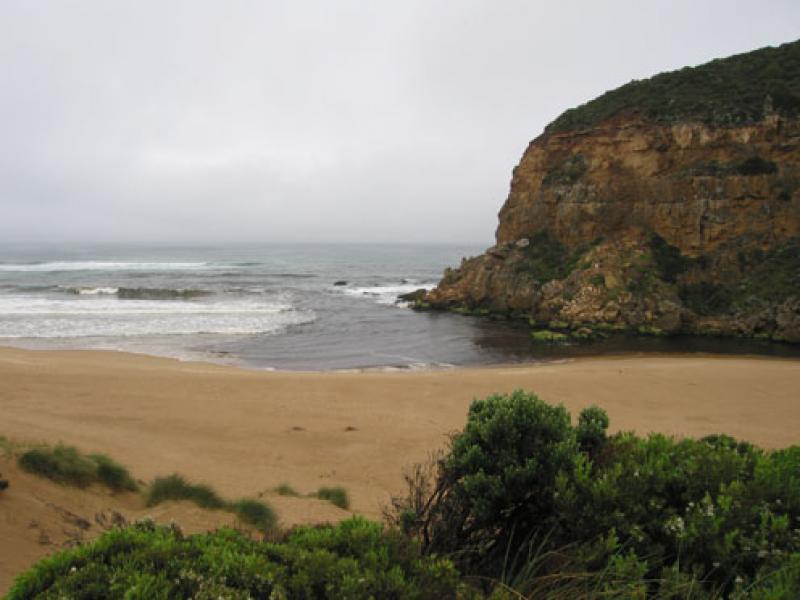
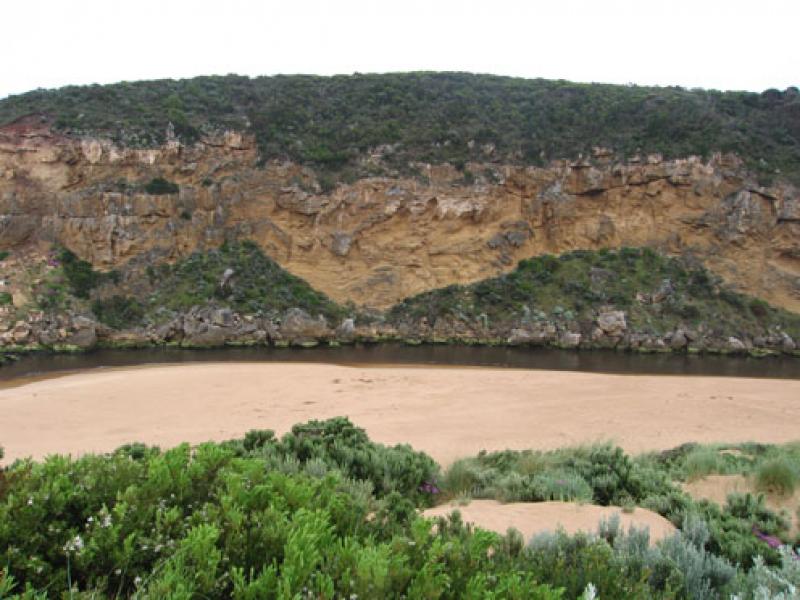
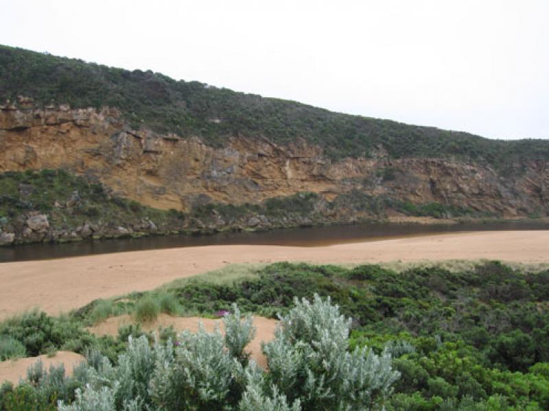
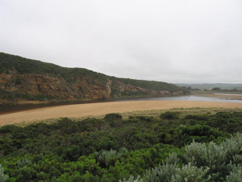
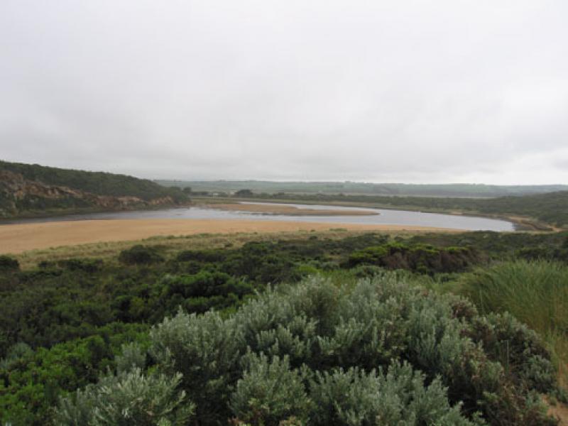
1.Extremely low water level in estuary, sand bars covering a large area. Sea grass exposed (about 8m) on east side of estuary
2.Reducing dark brown discharge around mouth & to west. Some to about 50m. east
3.New sand projection starting near mouth (about 30m. from rocks)
4.Small area near rocks at east end of beach has been scoured out . The sand projection of the last few weeks remains about 50m west and is increasing along the beach to new area.(Horseshoe shape flattening out)
5.Visiability reduced because of sea fog. & 7ml. rain at G6 (30.10.09)
6.Senecio elegans is now flowering around the Ocean beach car park and along the western cliff(as well as everywhere else along the dunes)
We acknowledge and respect Victorian Traditional Owners as the original custodians of Victoria’s land and waters, their unique ability to care for Country and deep spiritual connection to it.
We honour Elders past and present whose knowledge and wisdom has ensured the continuation of culture and traditional practices.
We honour Elders past and present whose knowledge and wisdom has ensured the continuation of culture and traditional practices.
 All content, files, data and images provided by the EstuaryWatch Data Portal subject to a Creative Commons Attribution License
Data portal by CeRDI
All content, files, data and images provided by the EstuaryWatch Data Portal subject to a Creative Commons Attribution License
Data portal by CeRDI