GMC Gellibrand River Estuary Mouth Observation Site
24 October 2009
Observation details
Overview
| Estuary | Gellibrand River Estuary |
|---|---|
| Site | Gellibrand River Estuary Mouth Observation Site |
| Observation ID | #2701 |
| Date and Time | Saturday 24th October 2009 09:26am |
| Approved | Approved |
Notes
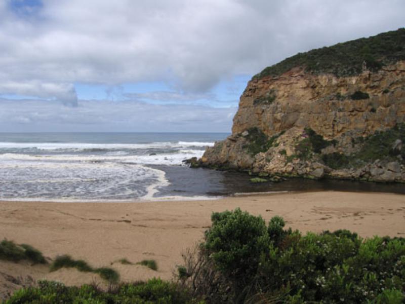
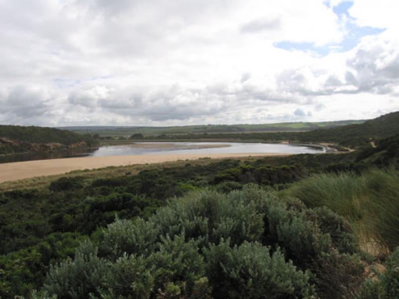
1. Dark discharge around mouth & slightly to east but main flow seems to be west infront of cliffs. The east flow seems to be stopped by the sand projection near east end of beach. This sand projection (beach) has increased but sea is much closer to dunes (beach) near mouth
2.Sand is building up into 'cliffs' on beach (1/3 from mouth)
3.Sand is visiable in waves out to sea up to70m.
Sand is also being deposited into channel by longshore drift
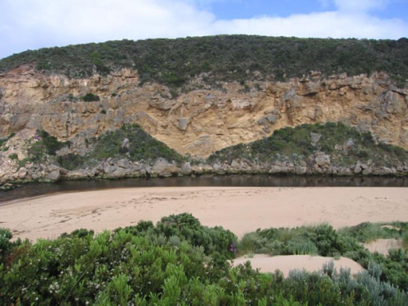
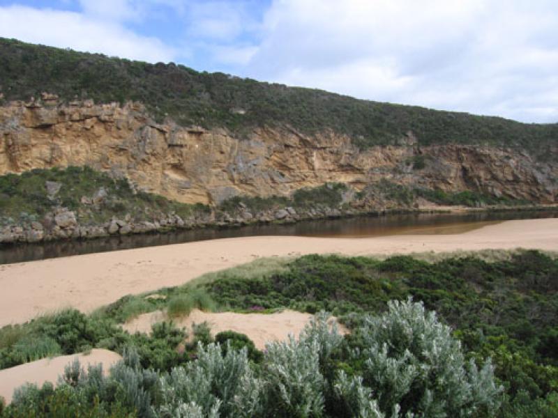
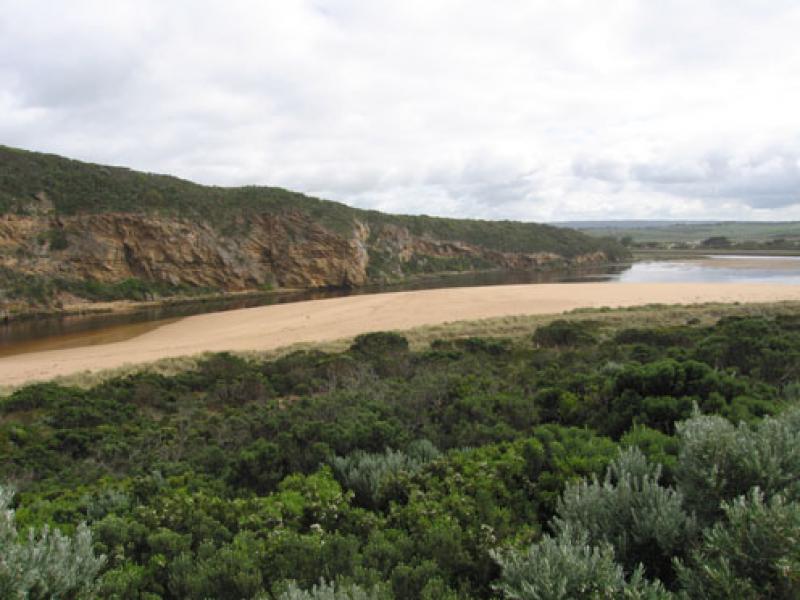
4.Low tide has exposed a very large area of sand bars.
Dead and rotting seagrass on eastern side of estuary is also exposed
5.Senecio elegans in full flower. Huge increase from last year. All through the dunes and along western cliff
We acknowledge and respect Victorian Traditional Owners as the original custodians of Victoria’s land and waters, their unique ability to care for Country and deep spiritual connection to it.
We honour Elders past and present whose knowledge and wisdom has ensured the continuation of culture and traditional practices.
We honour Elders past and present whose knowledge and wisdom has ensured the continuation of culture and traditional practices.
 All content, files, data and images provided by the EstuaryWatch Data Portal subject to a Creative Commons Attribution License
Data portal by CeRDI
All content, files, data and images provided by the EstuaryWatch Data Portal subject to a Creative Commons Attribution License
Data portal by CeRDI