GMC Gellibrand River Estuary Mouth Observation Site
10 October 2009
Observation details
Overview
| Estuary | Gellibrand River Estuary |
|---|---|
| Site | Gellibrand River Estuary Mouth Observation Site |
| Observation ID | #2624 |
| Date and Time | Saturday 10th October 2009 08:50am |
| Approved | Approved |
Notes
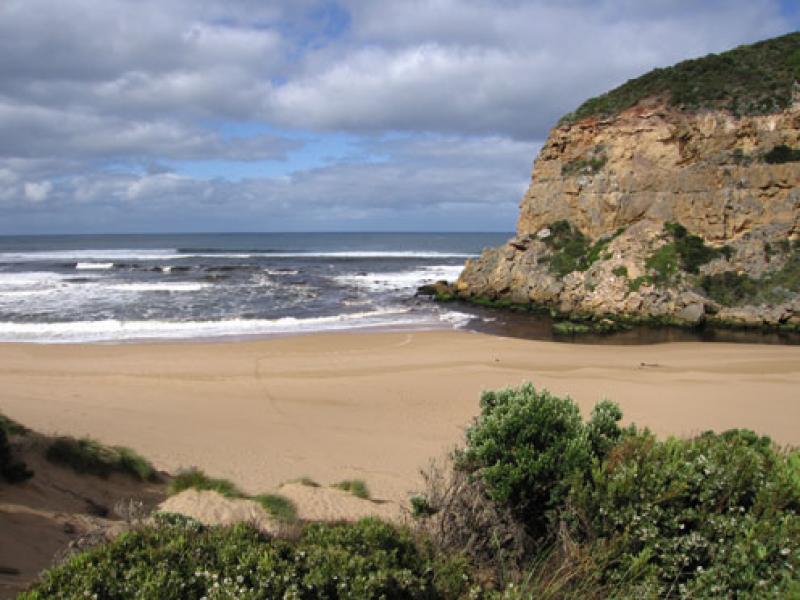
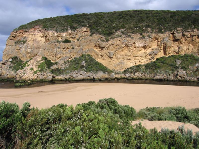
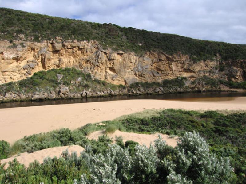
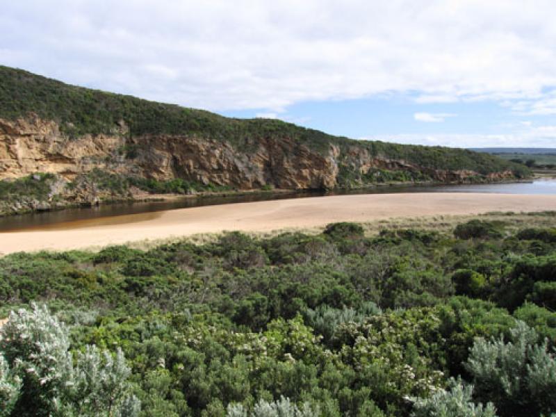
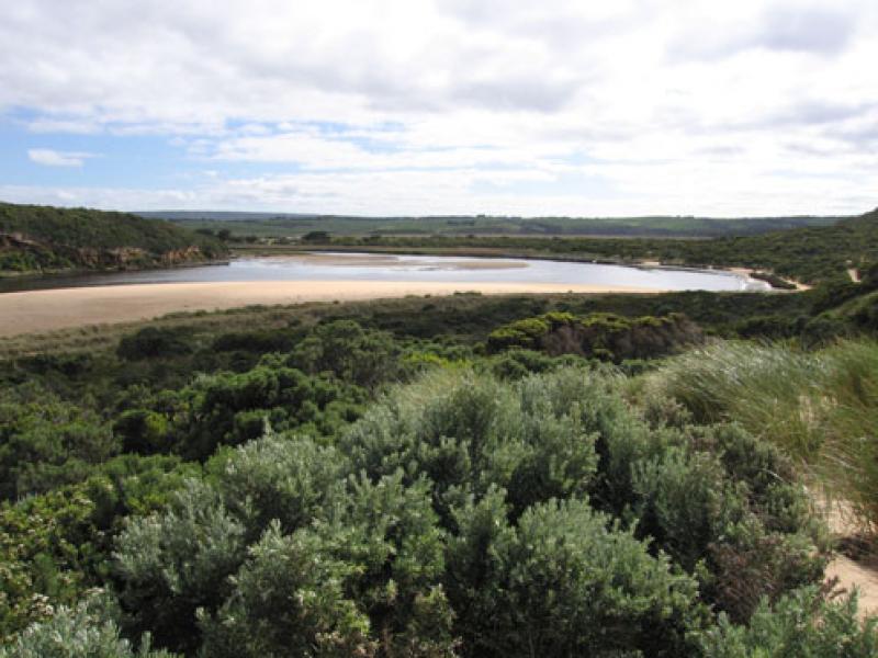
1.Strong out flow - dark discharge around mouth & to west, dark water not visiable to east or south
2.Beach 'horseshoe' shape with increased sand projection out to sea at east end
3.Waves have been nearly to foot of dunes -mid beach. Sand build up east side of mouth, increasing with longshore drift
4.Channel about 4-5m at entrance, rocks more exposed but sand building up directly infront (downstream). Water curving around rocks (3-4 m. wide) and through narrow channel near cliff.
5. Very low water level, gate on tunnel well out of the water and sand bars in estuary well exposed
6.AHD board numbers obscured by flood deposit- difficult to read.
7.D.S.T not added
We acknowledge and respect Victorian Traditional Owners as the original custodians of Victoria’s land and waters, their unique ability to care for Country and deep spiritual connection to it.
We honour Elders past and present whose knowledge and wisdom has ensured the continuation of culture and traditional practices.
We honour Elders past and present whose knowledge and wisdom has ensured the continuation of culture and traditional practices.
 All content, files, data and images provided by the EstuaryWatch Data Portal subject to a Creative Commons Attribution License
Data portal by CeRDI
All content, files, data and images provided by the EstuaryWatch Data Portal subject to a Creative Commons Attribution License
Data portal by CeRDI