GMC Gellibrand River Estuary Mouth Observation Site
29 August 2009
Observation details
Overview
| Estuary | Gellibrand River Estuary |
|---|---|
| Site | Gellibrand River Estuary Mouth Observation Site |
| Observation ID | #2421 |
| Date and Time | Saturday 29th August 2009 11:10am |
| Approved | Approved |
Notes
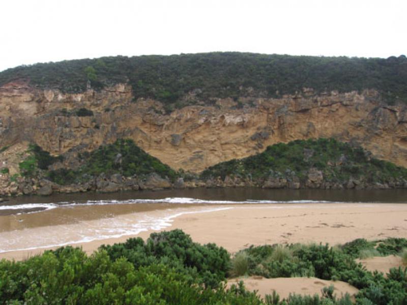
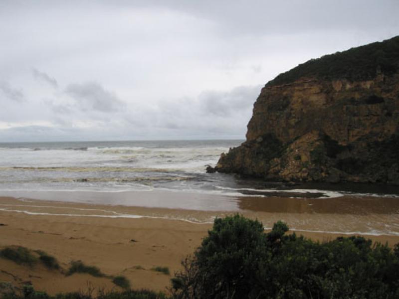
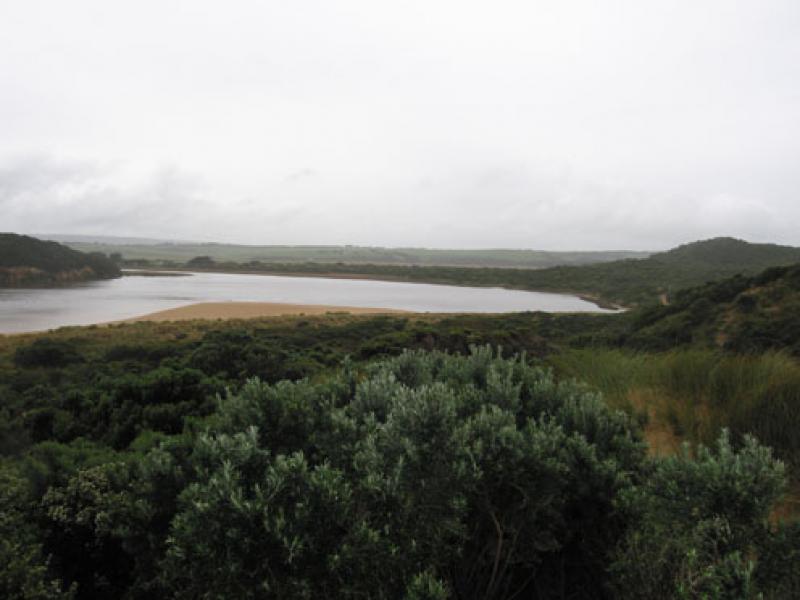
1.Very strong outflow of dark brown water to s, s.w and e. Difficult to estimate because of foam & white water
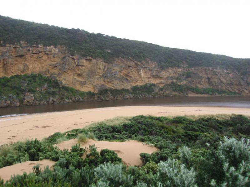
2.Rocks at east end beach exposed, sand along beach graduslly sloping back to ocean.Waves carrying a lot of sand
3.Waves in all directions at mouth with stronger longshore drift today. Whirlpool on east side of rocks,occasional small wave down east side of channel into estuary
4.Sand build up east side of mouth may be reducing
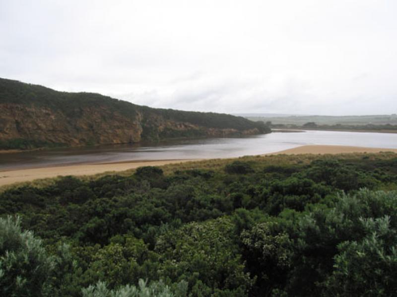
5.Water receeding - low track can be used, lot of debris high in the dunes surrounding the estuary
6. 1 Tern on s. side of estuary.
7.No water over O.O.R. between kangaroobie and G.O.R. but greatly increased water levels above G4. where the water is flowing between the bearer and deck of bridge
Mouth Observation
| Mouth state | Open |
|---|---|
| Previous | |
| Flow Present? | Yes |
| Previous | |
| Flow Direction | Out |
| Previous |
| Above Sea | Above Estuary | |
|---|---|---|
| Berm Height (m) | ||
| Berm Length (m) |
Physical Condition
| Current | Mode | |
|---|---|---|
| Wind Direction | North-West | North-West |
| Beaufort Scale | Moderate breeze | High wind, moderate gale, near gale |
| Sea State | Rough | Very Rough |
We acknowledge and respect Victorian Traditional Owners as the original custodians of Victoria’s land and waters, their unique ability to care for Country and deep spiritual connection to it.
We honour Elders past and present whose knowledge and wisdom has ensured the continuation of culture and traditional practices.
We honour Elders past and present whose knowledge and wisdom has ensured the continuation of culture and traditional practices.
 All content, files, data and images provided by the EstuaryWatch Data Portal subject to a Creative Commons Attribution License
Data portal by CeRDI
All content, files, data and images provided by the EstuaryWatch Data Portal subject to a Creative Commons Attribution License
Data portal by CeRDI