GMC Gellibrand River Estuary Mouth Observation Site
28 August 2009
Observation details
Overview
| Estuary | Gellibrand River Estuary |
|---|---|
| Site | Gellibrand River Estuary Mouth Observation Site |
| Observation ID | #2407 |
| Date and Time | Friday 28th August 2009 11:40am |
| Approved | Approved |
Notes
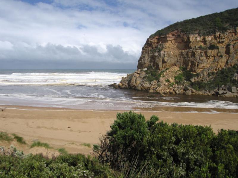
1.very strong outflow. Brown discharge seems to be going out to sea south and possibly s/w as well as along shoreline.Difficult to tell because of foam and white water.
2.Occasional wave along east side of channel into estuary
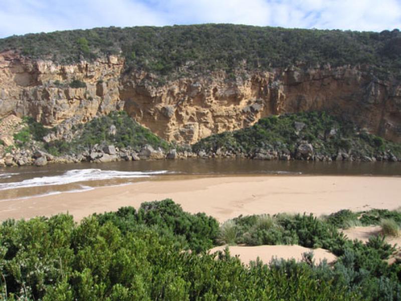
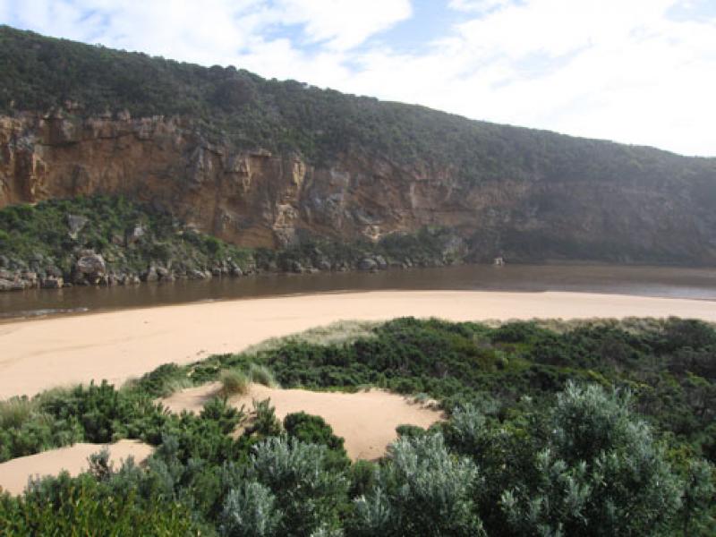
3.More sand along channel exposed, beach - gradual slope back to ocean.Rocks exposed at east end of beach
4.Water circling at entrance.
5.Huge amount of rubbish along s/e side of estuary(including a lot of plastic)
6.Some large thin fish (15cm.) in reeds e.side of estuary. Water very dirty -Dark redish brown.Turbidity between 50-60 at that area
7.Serious flooding upstream G4. No water over road between Kangaroobie and GOR.
8.AHD G6 - 3.62 at 15:15
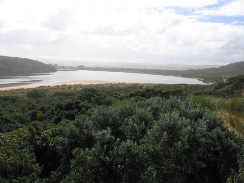
Mouth Observation
| Mouth state | Open |
|---|---|
| Previous | |
| Flow Present? | Yes |
| Previous | |
| Flow Direction | Out |
| Previous |
| Above Sea | Above Estuary | |
|---|---|---|
| Berm Height (m) | ||
| Berm Length (m) |
Physical Condition
| Current | Mode | |
|---|---|---|
| Wind Direction | North-West | North-West |
| Beaufort Scale | Fresh breeze | High wind, moderate gale, near gale |
| Sea State | Very Rough | Very Rough |
We acknowledge and respect Victorian Traditional Owners as the original custodians of Victoria’s land and waters, their unique ability to care for Country and deep spiritual connection to it.
We honour Elders past and present whose knowledge and wisdom has ensured the continuation of culture and traditional practices.
We honour Elders past and present whose knowledge and wisdom has ensured the continuation of culture and traditional practices.
 All content, files, data and images provided by the EstuaryWatch Data Portal subject to a Creative Commons Attribution License
Data portal by CeRDI
All content, files, data and images provided by the EstuaryWatch Data Portal subject to a Creative Commons Attribution License
Data portal by CeRDI