GMC Gellibrand River Estuary Mouth Observation Site
8 August 2009
Observation details
Overview
| Estuary | Gellibrand River Estuary |
|---|---|
| Site | Gellibrand River Estuary Mouth Observation Site |
| Observation ID | #2261 |
| Date and Time | Saturday 8th August 2009 09:20am |
| Approved | Approved |
Notes
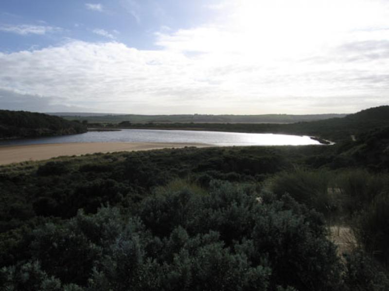
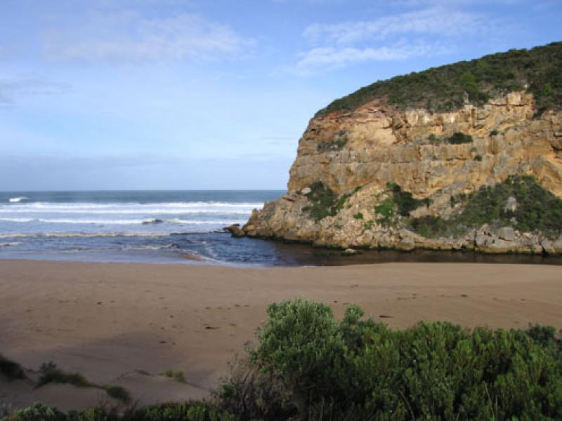
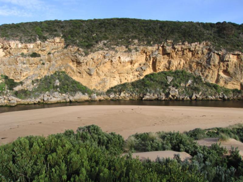
1.Dark flow discharging to east along shoreline & around mouth (flow is blocked by sand build up on east side). No flow south
2.Waves in all directions around mouth. Longshore drift from east bringing sand back into channel
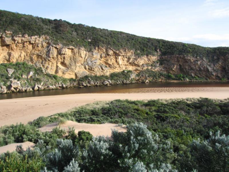
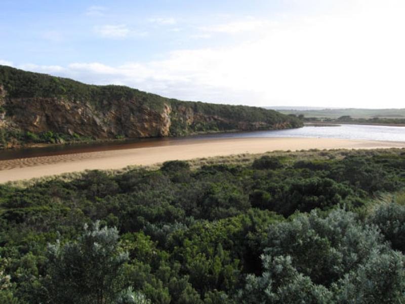
3.Sand highest at mid beach
4. Sand build up around rocks increasing. Entrance channel about 7-8m. wide
Mouth Observation
| Mouth state | Open |
|---|---|
| Previous | |
| Flow Present? | Yes |
| Previous | |
| Flow Direction | Out |
| Previous |
| Above Sea | Above Estuary | |
|---|---|---|
| Berm Height (m) | ||
| Berm Length (m) |
Physical Condition
| Current | Mode | |
|---|---|---|
| Wind Direction | North | North-West |
| Beaufort Scale | Strong breeze | High wind, moderate gale, near gale |
| Sea State | Rough | Very Rough |
We acknowledge and respect Victorian Traditional Owners as the original custodians of Victoria’s land and waters, their unique ability to care for Country and deep spiritual connection to it.
We honour Elders past and present whose knowledge and wisdom has ensured the continuation of culture and traditional practices.
We honour Elders past and present whose knowledge and wisdom has ensured the continuation of culture and traditional practices.
 All content, files, data and images provided by the EstuaryWatch Data Portal subject to a Creative Commons Attribution License
Data portal by CeRDI
All content, files, data and images provided by the EstuaryWatch Data Portal subject to a Creative Commons Attribution License
Data portal by CeRDI