GMC Gellibrand River Estuary Mouth Observation Site
11 July 2009
Observation details
Overview
| Estuary | Gellibrand River Estuary |
|---|---|
| Site | Gellibrand River Estuary Mouth Observation Site |
| Observation ID | #2120 |
| Date and Time | Saturday 11th July 2009 10:00am |
| Approved | Approved |
Notes
1. AHD reading taken at G2. 0.19 9:30am.
28:00 10:40. Very wet and windy
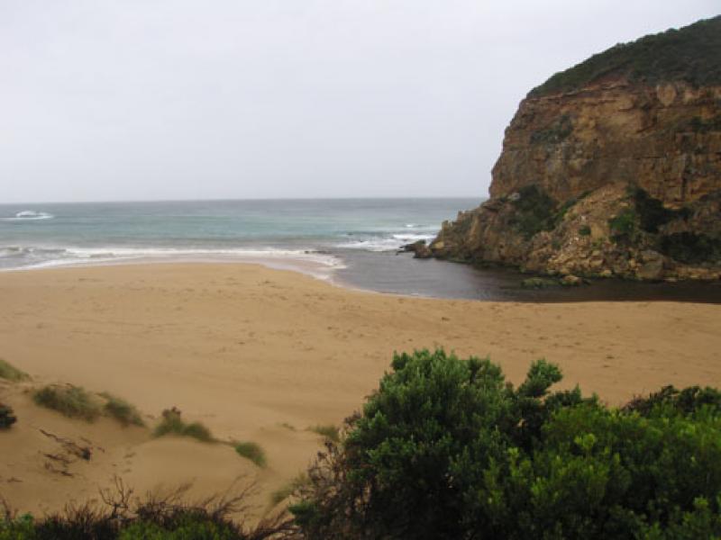
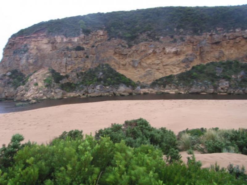
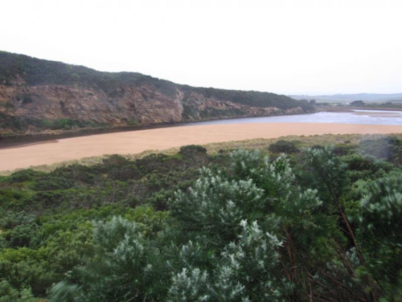
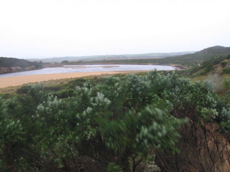
2.Sand bars in estuary well exposed.
3.High sand cliffs along channel 1-2m. Rocks at entrance well exposed, water curving around to east. Distance from sand to tunnel about 10-15m.
4.Strong discharge along shoreline to east. Width of actual channel at entrance -15m.
5.Sand bar on left of entrance projecting south into sea about 30m from ridge running east to west along beach
6. Sand build up at eastern end of beach
7. 1.white heron, 1.whiteheaded heron
Mouth Observation
| Mouth state | Open |
|---|---|
| Previous | |
| Flow Present? | Yes |
| Previous | |
| Flow Direction | Out |
| Previous |
| Above Sea | Above Estuary | |
|---|---|---|
| Berm Height (m) | ||
| Berm Length (m) |
Physical Condition
| Current | Mode | |
|---|---|---|
| Wind Direction | North | North |
| Beaufort Scale | High wind, moderate gale, near gale | Fresh breeze |
| Sea State | Moderate | Rough |
We acknowledge and respect Victorian Traditional Owners as the original custodians of Victoria’s land and waters, their unique ability to care for Country and deep spiritual connection to it.
We honour Elders past and present whose knowledge and wisdom has ensured the continuation of culture and traditional practices.
We honour Elders past and present whose knowledge and wisdom has ensured the continuation of culture and traditional practices.
 All content, files, data and images provided by the EstuaryWatch Data Portal subject to a Creative Commons Attribution License
Data portal by CeRDI
All content, files, data and images provided by the EstuaryWatch Data Portal subject to a Creative Commons Attribution License
Data portal by CeRDI