GMC Gellibrand River Estuary Mouth Observation Site
20 March 2020
Observation details
Overview
| Estuary | Gellibrand River Estuary |
|---|---|
| Site | Gellibrand River Estuary Mouth Observation Site |
| Observation ID | #13649 |
| Date and Time | Friday 20th March 2020 11:30am |
| Approved | Approved |
Notes
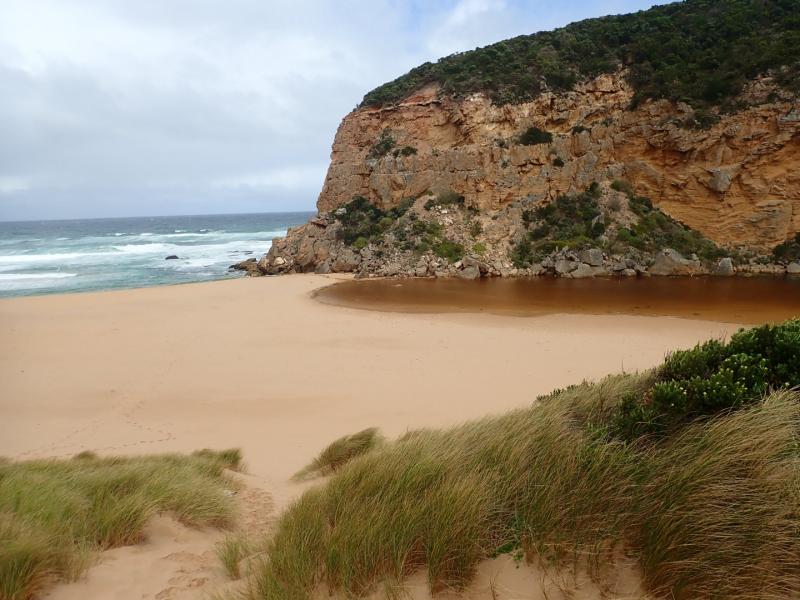
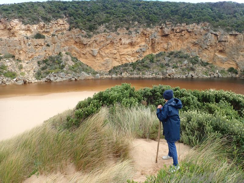
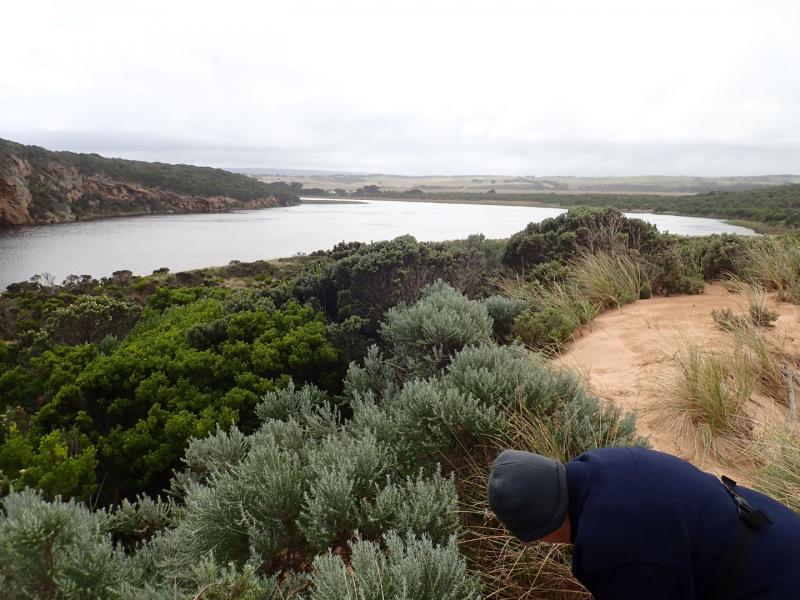
Mouth closed but an illegal opening occurred on 19-03-20 which created some outflow out for a short period before the channel closed up again by early am 20-03-20
About .30m of last rock above water level at start of river
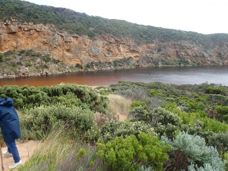
Water over increased area of top track, low track has water up to ocean car park. Campground has no visible water but very small puddle on north side of OCR before bridge. No water visible on G.O.R. Small area of shallow water flowing from river is travelling north across OOR - vehicle access was still possible
Mouth Observation
| Mouth state | Closed |
|---|---|
| Previous | O O O O O O P C |
| Flow Present? | No |
| Previous | Y Y Y Y Y Y N N |
| Flow Direction | N/A |
| Previous | O O O O O O N N |
| Above Sea | Above Estuary | |
|---|---|---|
| Berm Height (m) | 0.2m | |
| Berm Length (m) | 8.0m |
Physical Condition
| Current | Mode | |
|---|---|---|
| Wind Direction | South | |
| Beaufort Scale | Fresh breeze | |
| Sea State | Rough |
We acknowledge and respect Victorian Traditional Owners as the original custodians of Victoria’s land and waters, their unique ability to care for Country and deep spiritual connection to it.
We honour Elders past and present whose knowledge and wisdom has ensured the continuation of culture and traditional practices.
We honour Elders past and present whose knowledge and wisdom has ensured the continuation of culture and traditional practices.
 All content, files, data and images provided by the EstuaryWatch Data Portal subject to a Creative Commons Attribution License
Data portal by CeRDI
All content, files, data and images provided by the EstuaryWatch Data Portal subject to a Creative Commons Attribution License
Data portal by CeRDI