GMC Gellibrand River Estuary Mouth Observation Site
10 November 2019
Observation details
Overview
| Estuary | Gellibrand River Estuary |
|---|---|
| Site | Gellibrand River Estuary Mouth Observation Site |
| Observation ID | #13395 |
| Date and Time | Sunday 10th November 2019 14:49pm |
| Approved | Approved |
Notes
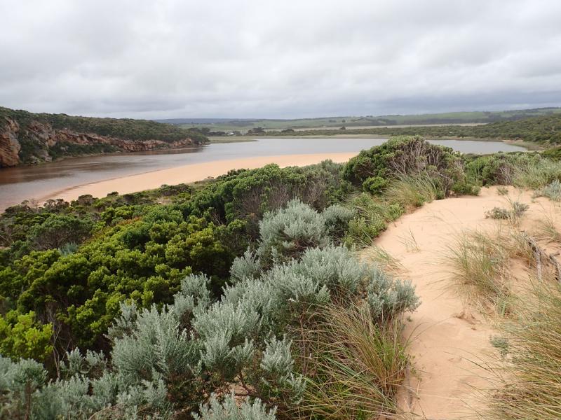
AHD G6 3.24 @ 14:28
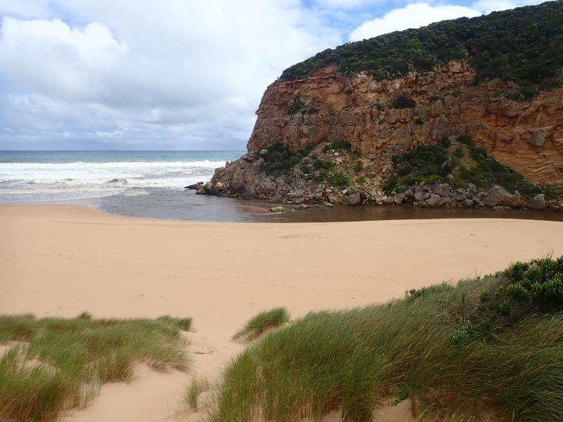
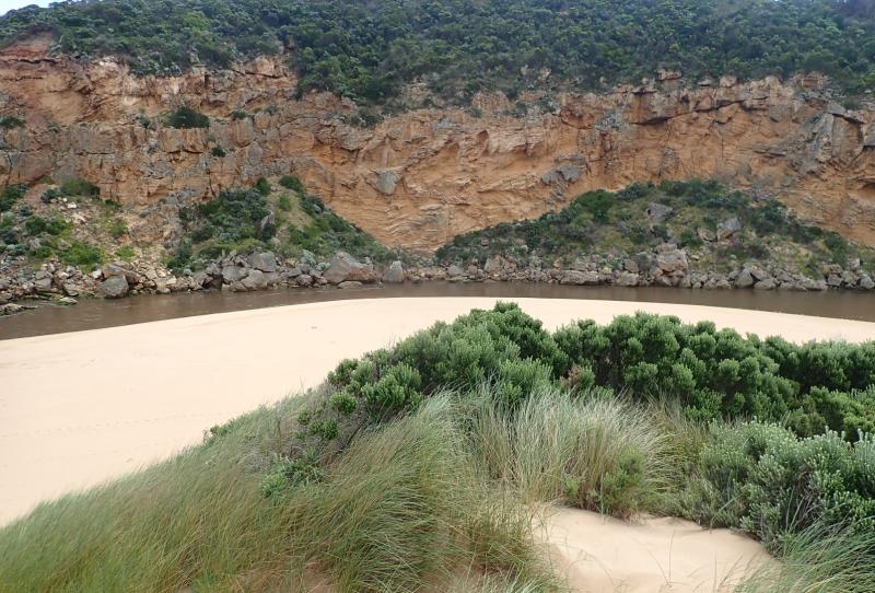
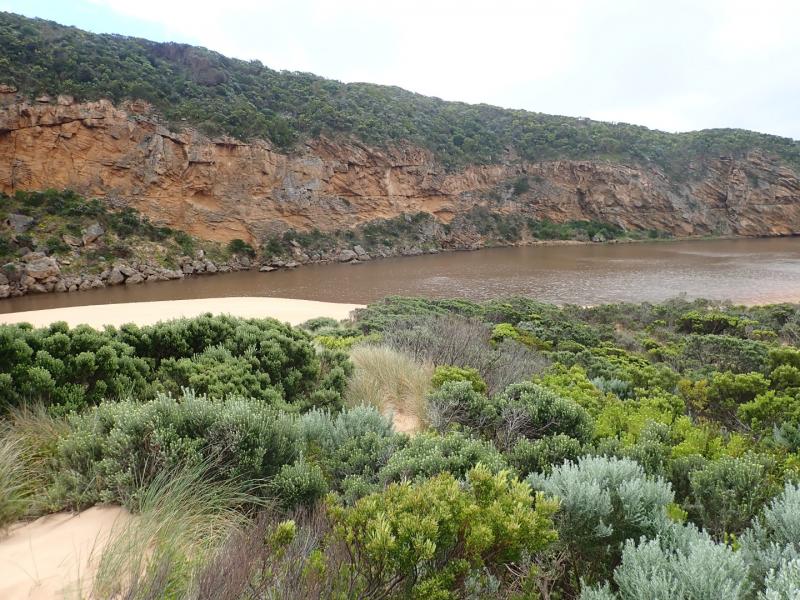
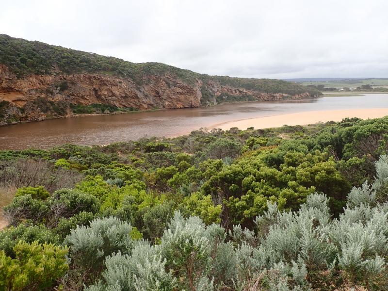
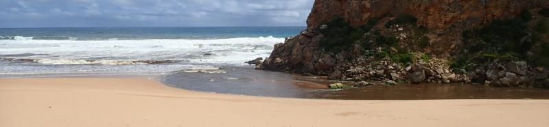
Very dark strong discharge out around the mouth for about 100 m. also continuing a long way to the east along the shoreline. Eastern end of beach covered with dark silt. The strong outflow has created sheer east side to channel about 1 m. high above water level (87 ml rain @ G6 over past 8 days). Beach is undulating & scouring areas especially at mid beach where backwash is taking out a lot of sand -waves in all directions at this area creating occasional longshore drift across mouth. Large amount of sand build up remains downstream of rocks but is being covered by outflow & entering waves. More erosion on east face of Pt. Ronald.
Large areas of deep flood water covering large areas from G4 & G5 (also some between G5 &G6) but very little downstream G4. OOR only had slight flow across near flood markers (run off only.
We honour Elders past and present whose knowledge and wisdom has ensured the continuation of culture and traditional practices.
 All content, files, data and images provided by the EstuaryWatch Data Portal subject to a Creative Commons Attribution License
Data portal by CeRDI
All content, files, data and images provided by the EstuaryWatch Data Portal subject to a Creative Commons Attribution License
Data portal by CeRDI