WyMC Wye River Mouth Condition
6 October 2019
Observation details
Overview
| Estuary | Wye River Estuary |
|---|---|
| Site | Wye River Mouth Condition |
| Observation ID | #13353 |
| Date and Time | Sunday 6th October 2019 10:15am |
| Approved | Approved |
Notes
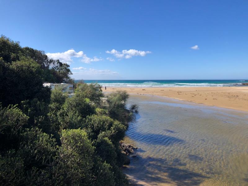
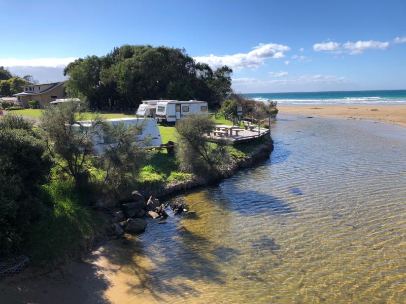
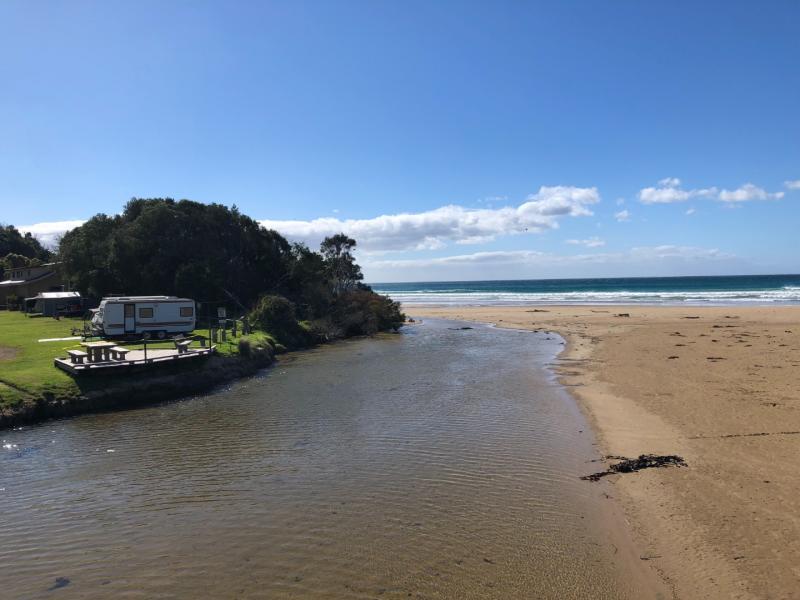
The erosion caused by the river cutting into the northern bank of the river adjacent to the Beachfront caravan park is noticeable. There is security tape across the bank edge to stop people using the bank.
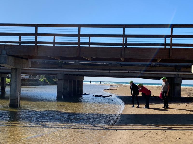
Stormwater pipe near the bottom of the steps to the beach ( opposite the shop) is exposed.
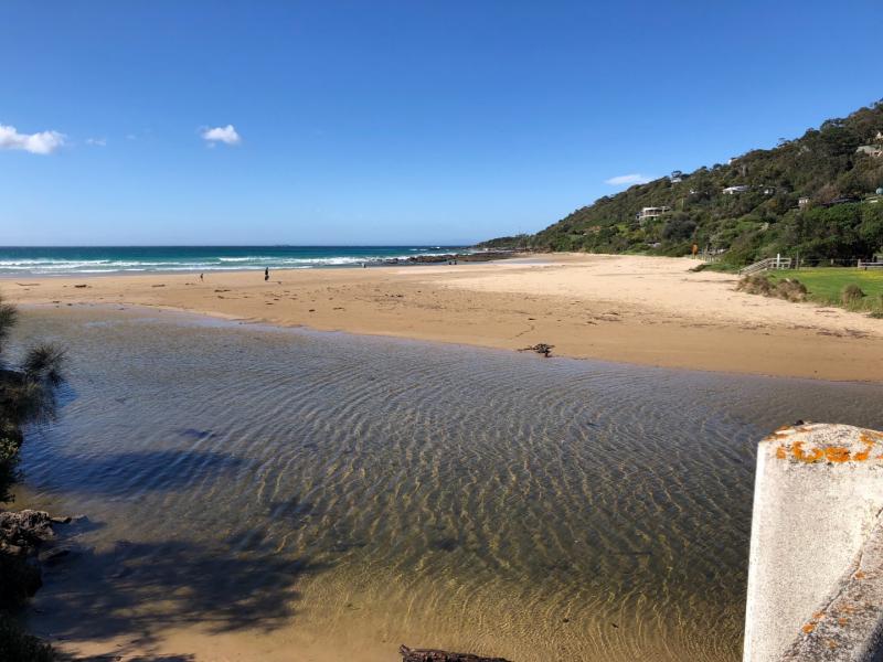
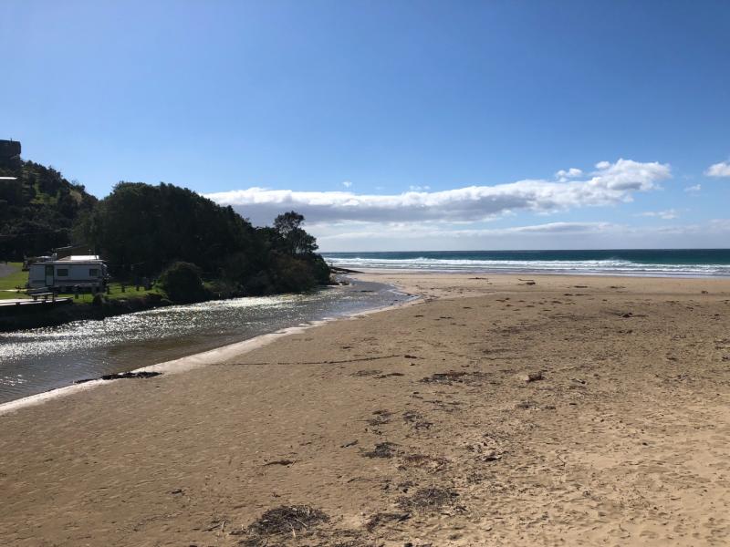
Question: Do we need an additional photo-point? This month we couldn't capture the river course from the bridge to the sea from the current photo site only. I have attached some photos from the other end of the bridge - so the course of the river to the sea can be captured.
Carolyn took some great photos and these are attached too!
I am having trouble getting Anne's name to appear in the samplers ?? i enter it but it doesn't appear on the next page?
We acknowledge and respect Victorian Traditional Owners as the original custodians of Victoria’s land and waters, their unique ability to care for Country and deep spiritual connection to it.
We honour Elders past and present whose knowledge and wisdom has ensured the continuation of culture and traditional practices.
We honour Elders past and present whose knowledge and wisdom has ensured the continuation of culture and traditional practices.
 All content, files, data and images provided by the EstuaryWatch Data Portal subject to a Creative Commons Attribution License
Data portal by CeRDI
All content, files, data and images provided by the EstuaryWatch Data Portal subject to a Creative Commons Attribution License
Data portal by CeRDI