GMC Gellibrand River Estuary Mouth Observation Site
7 August 2019
Observation details
Overview
| Estuary | Gellibrand River Estuary |
|---|---|
| Site | Gellibrand River Estuary Mouth Observation Site |
| Observation ID | #13242 |
| Date and Time | Wednesday 7th August 2019 10:15am |
| Approved | Approved |
Notes
AHD @ G6 1.93 @ 09:32
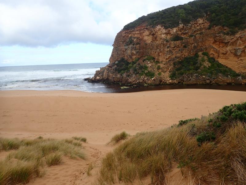
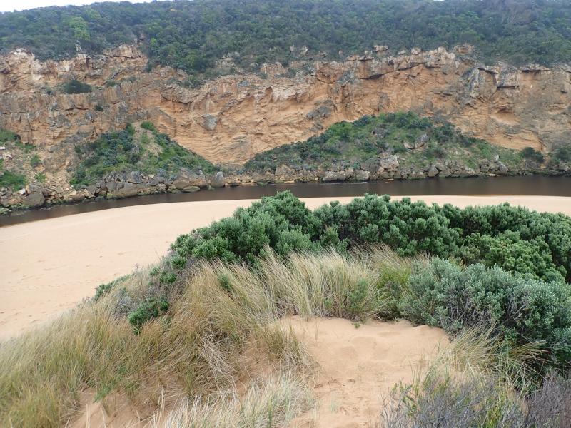
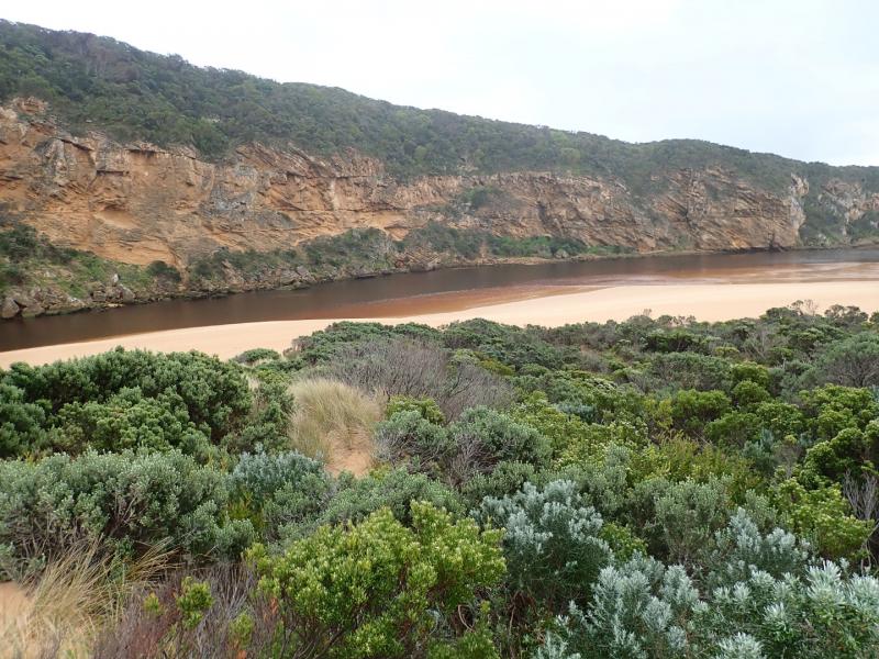
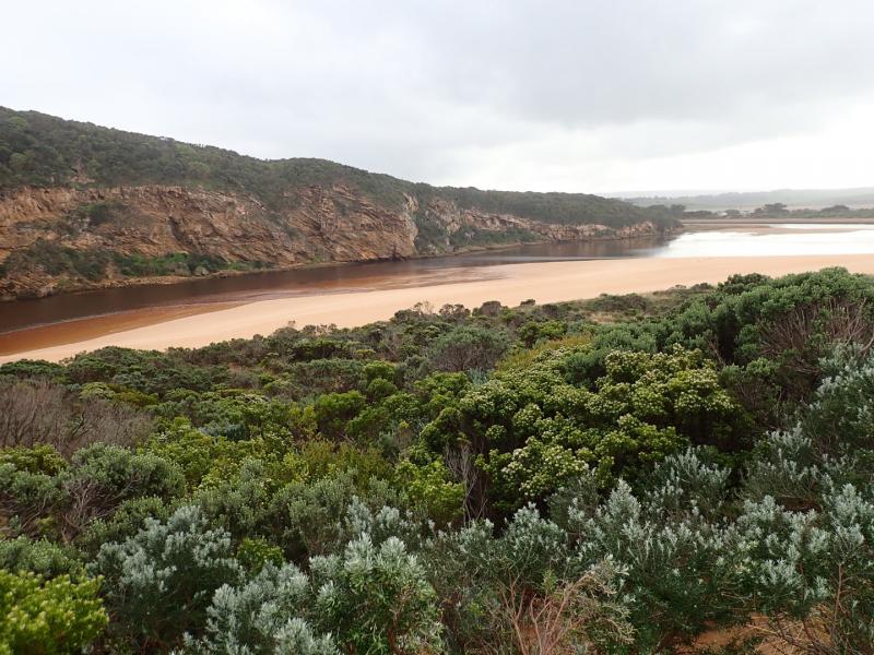
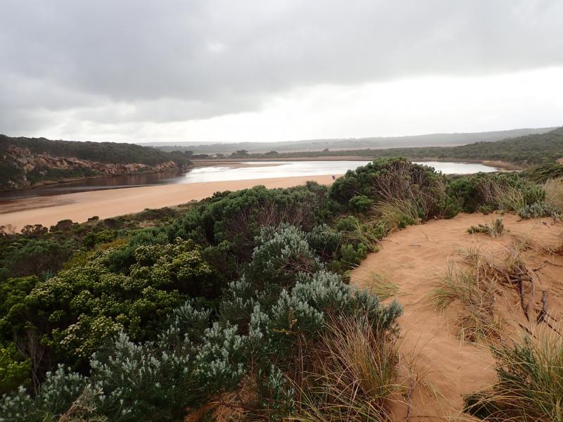
Dark discharge out along foreshore & continuing to east. Waves from last hi tide have been well up on beach where more sand has built up at mid beach with wide depression between there & east end. More sand has also built up along east side of entrance. Because of low water levels large areas of sand have become exposed in lagoon & inlet pipe on auto monitor at G2 is well above water level. Waves from longshore drift across entrance are crossing over outflow & combining with WSW/SW swell resulting in very small waves entering channel around rocks.
Erosion continues on S & SE face of Pt Ronald. Large build up of algae or duck weed? at west side of northern wetlands below township.
We acknowledge and respect Victorian Traditional Owners as the original custodians of Victoria’s land and waters, their unique ability to care for Country and deep spiritual connection to it.
We honour Elders past and present whose knowledge and wisdom has ensured the continuation of culture and traditional practices.
We honour Elders past and present whose knowledge and wisdom has ensured the continuation of culture and traditional practices.
 All content, files, data and images provided by the EstuaryWatch Data Portal subject to a Creative Commons Attribution License
Data portal by CeRDI
All content, files, data and images provided by the EstuaryWatch Data Portal subject to a Creative Commons Attribution License
Data portal by CeRDI