GMC Gellibrand River Estuary Mouth Observation Site
28 July 2019
Observation details
Overview
| Estuary | Gellibrand River Estuary |
|---|---|
| Site | Gellibrand River Estuary Mouth Observation Site |
| Observation ID | #13227 |
| Date and Time | Sunday 28th July 2019 11:50am |
| Approved | Approved |
Notes
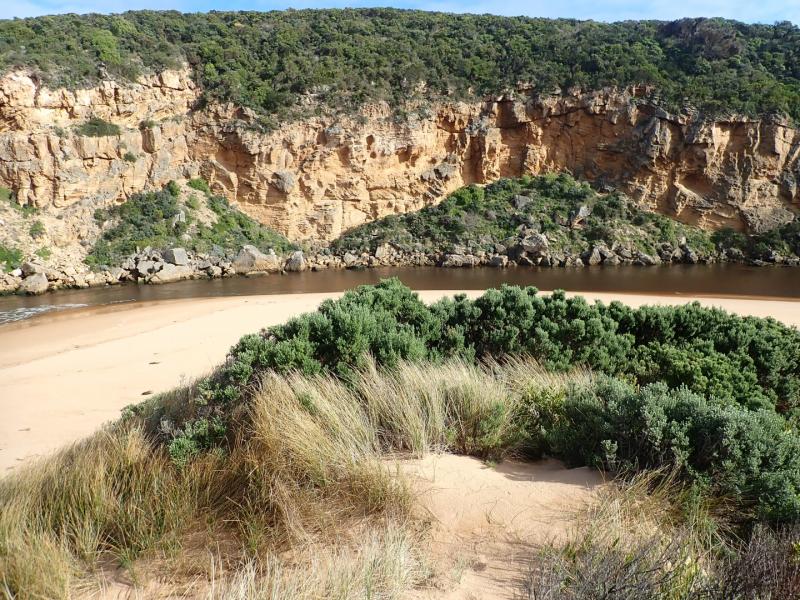
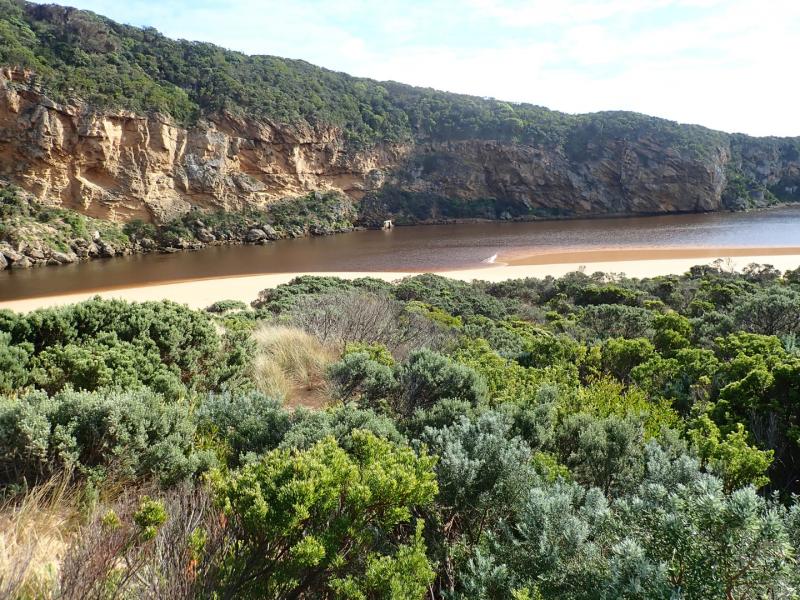
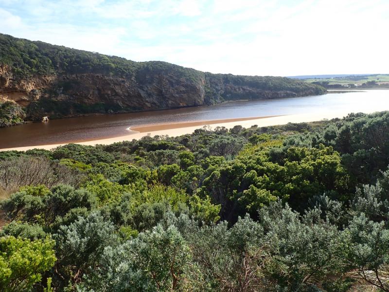
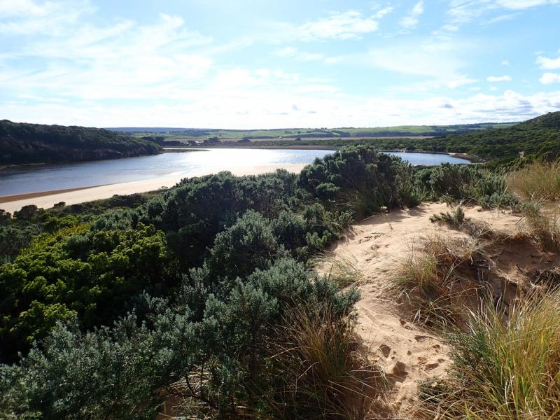
AHD G6 2.73 @ 09:44 Flats upstream of G4 have deep water cover but down stream G4 flats have very little water
Dark discharge out along foreshore to east, small waves entering along east side of entrance/channel into lagoon with some longshore drift occurring. Large amount of debris has been cast up on the side of low track & new scour holes have been created by backwash caused during storm surge on 23-07-19. Sand has now become higher around east side of entrance & edge of channel now slight gradual slope

We acknowledge and respect Victorian Traditional Owners as the original custodians of Victoria’s land and waters, their unique ability to care for Country and deep spiritual connection to it.
We honour Elders past and present whose knowledge and wisdom has ensured the continuation of culture and traditional practices.
We honour Elders past and present whose knowledge and wisdom has ensured the continuation of culture and traditional practices.
 All content, files, data and images provided by the EstuaryWatch Data Portal subject to a Creative Commons Attribution License
Data portal by CeRDI
All content, files, data and images provided by the EstuaryWatch Data Portal subject to a Creative Commons Attribution License
Data portal by CeRDI