GMC Gellibrand River Estuary Mouth Observation Site
21 June 2019
Observation details
Overview
| Estuary | Gellibrand River Estuary |
|---|---|
| Site | Gellibrand River Estuary Mouth Observation Site |
| Observation ID | #13165 |
| Date and Time | Friday 21st June 2019 11:46am |
| Approved | Approved |
Notes
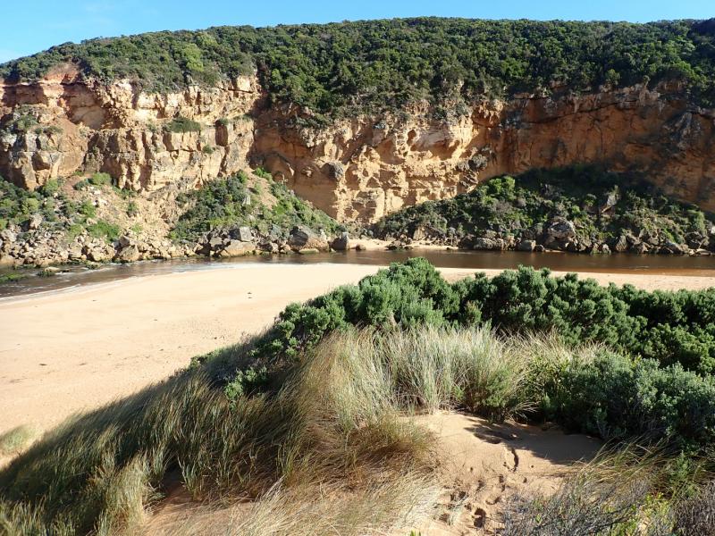
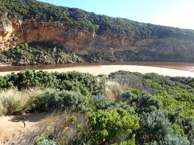
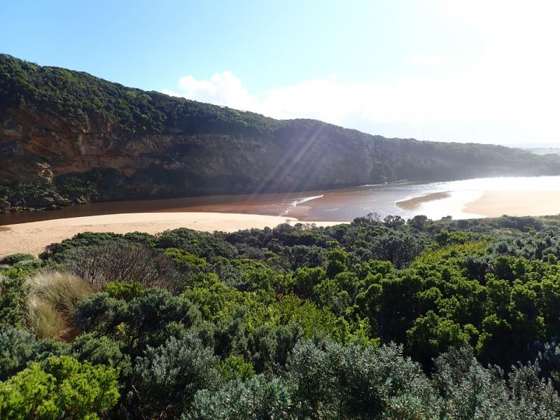
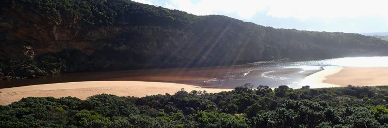
Low water level because of tide & reducing flow, dark discharge around mouth with small waves entering & going upstream across the lagoon on G2. East side of channel is sheer sided (up to about .40 high at start of channel)
Remains of the previous sand projection going north into the estuary was visible because of lower water levels
No water over any tracks & flood water has drained from flats around G4, but remains from midway between G5&G4 up to G6


We acknowledge and respect Victorian Traditional Owners as the original custodians of Victoria’s land and waters, their unique ability to care for Country and deep spiritual connection to it.
We honour Elders past and present whose knowledge and wisdom has ensured the continuation of culture and traditional practices.
We honour Elders past and present whose knowledge and wisdom has ensured the continuation of culture and traditional practices.
 All content, files, data and images provided by the EstuaryWatch Data Portal subject to a Creative Commons Attribution License
Data portal by CeRDI
All content, files, data and images provided by the EstuaryWatch Data Portal subject to a Creative Commons Attribution License
Data portal by CeRDI