GMC Gellibrand River Estuary Mouth Observation Site
20 February 2019
Observation details
Overview
| Estuary | Gellibrand River Estuary |
|---|---|
| Site | Gellibrand River Estuary Mouth Observation Site |
| Observation ID | #12859 |
| Date and Time | Wednesday 20th February 2019 11:50am |
| Approved | Approved |
Notes
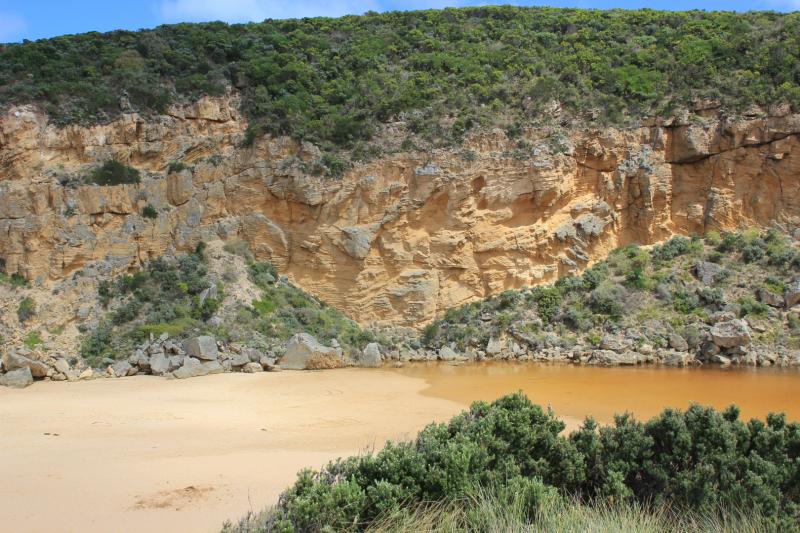
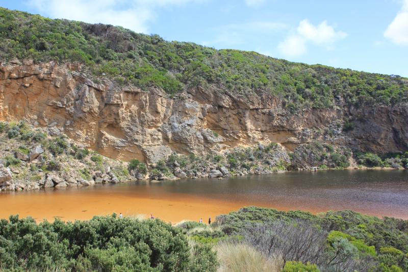
AHD G6 1.36 @ 11:35
Mouth closed -no waves over berm
SW swell/rough sea impacting strongly at east end of beach. Large amount of sand visible in ocean all along beach with more around mouth. Berm is higher than previously observed & sand is now completely covering all of rocks. Berm slopes gradually down towards ocean with highest part near rocks area
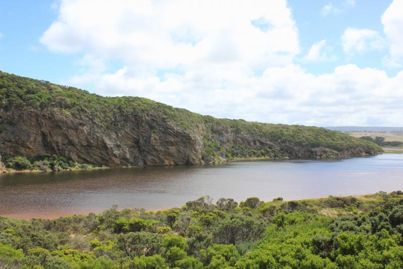
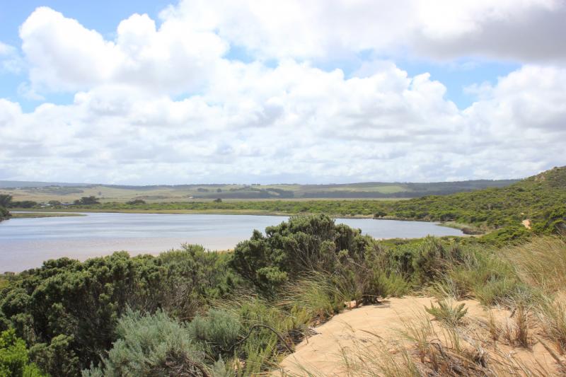
No water over any roads or tracks (apart from low track) but 2 small puddles on top track

We acknowledge and respect Victorian Traditional Owners as the original custodians of Victoria’s land and waters, their unique ability to care for Country and deep spiritual connection to it.
We honour Elders past and present whose knowledge and wisdom has ensured the continuation of culture and traditional practices.
We honour Elders past and present whose knowledge and wisdom has ensured the continuation of culture and traditional practices.
 All content, files, data and images provided by the EstuaryWatch Data Portal subject to a Creative Commons Attribution License
Data portal by CeRDI
All content, files, data and images provided by the EstuaryWatch Data Portal subject to a Creative Commons Attribution License
Data portal by CeRDI