GMC Gellibrand River Estuary Mouth Observation Site
4 April 2019
Observation details
Overview
| Estuary | Gellibrand River Estuary |
|---|---|
| Site | Gellibrand River Estuary Mouth Observation Site |
| Observation ID | #12820 |
| Date and Time | Thursday 4th April 2019 12:55pm |
| Approved | Approved |
Notes
Estimated height @ G6 0.68 - board unreadable because of silt build up
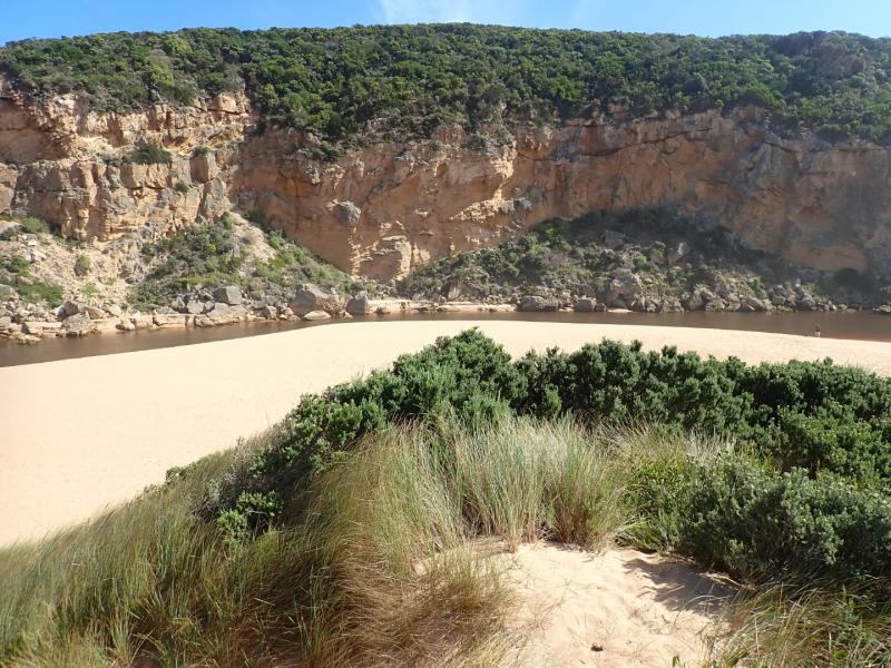
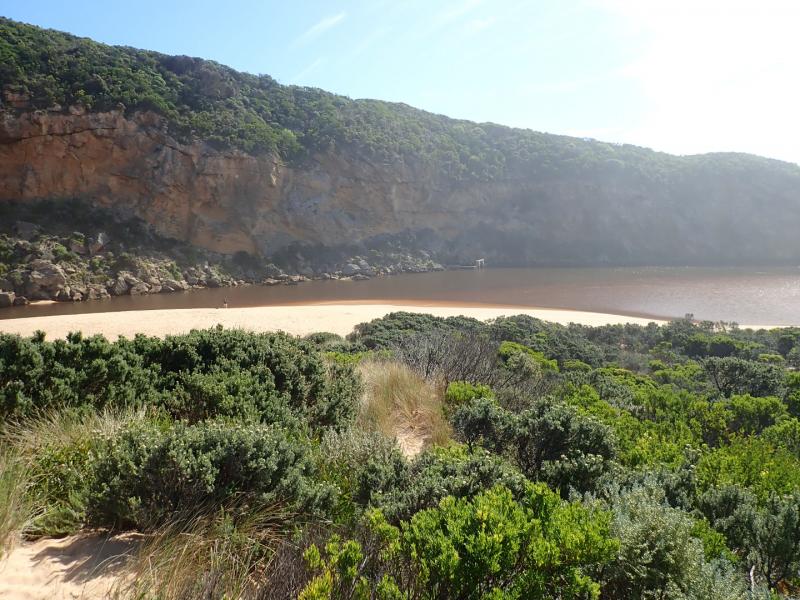
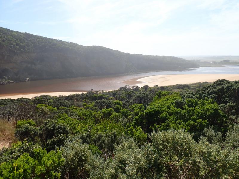
Dark discharge from reducing outflow around the mouth & to west, pale discharge continuing along foreshore to east. Entrance about 50m wide with sheer sides to channel from 1-2 m. high. Sand has built up on east side of channel -also directly downstream of rock. Longshore drift across mouth over sw swell with backwash return & some waves entering up the channel into the estuary. Waves are going high up on the beach at east end of beach which rises & falls creating some deep areas. Height of beach drops as it reaches the mouth
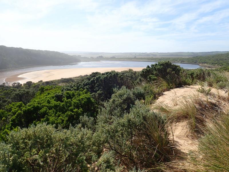
All tracks & roads are without water including low track where an extremely large number of small (1-3 cm) fish were actively swimming. Small fish were observed in all areas of estuary
D.O. levels @ G2 have greatly improved with flow going upstream while monitoring

We honour Elders past and present whose knowledge and wisdom has ensured the continuation of culture and traditional practices.
 All content, files, data and images provided by the EstuaryWatch Data Portal subject to a Creative Commons Attribution License
Data portal by CeRDI
All content, files, data and images provided by the EstuaryWatch Data Portal subject to a Creative Commons Attribution License
Data portal by CeRDI