GMC Gellibrand River Estuary Mouth Observation Site
15 February 2019
Observation details
Overview
| Estuary | Gellibrand River Estuary |
|---|---|
| Site | Gellibrand River Estuary Mouth Observation Site |
| Observation ID | #12717 |
| Date and Time | Friday 15th February 2019 11:35am |
| Approved | Approved |
Notes
AHD G6 1.30 @ 08:34
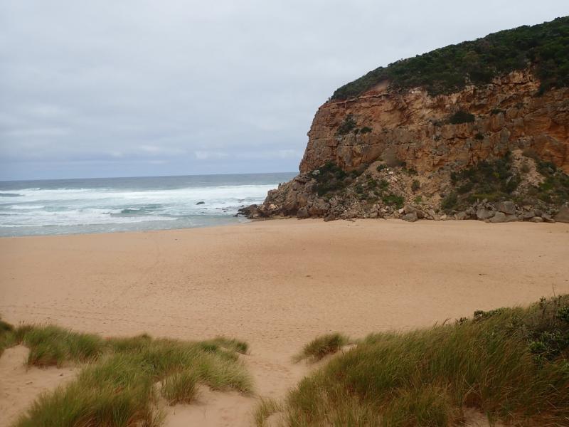
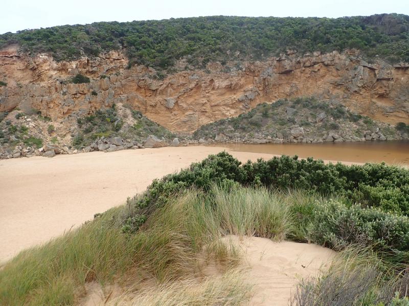
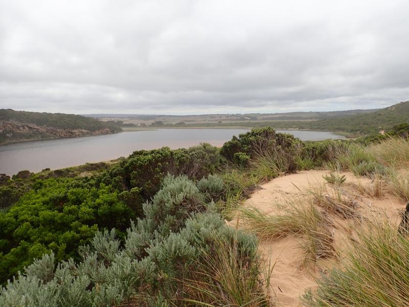
Mouth closed but some waves have been uo to estuary at last hi tide. Berm is longer but gradually slopes down from estuary to ocean with small gradual rise around rocks which are now almost entirely covered with sand
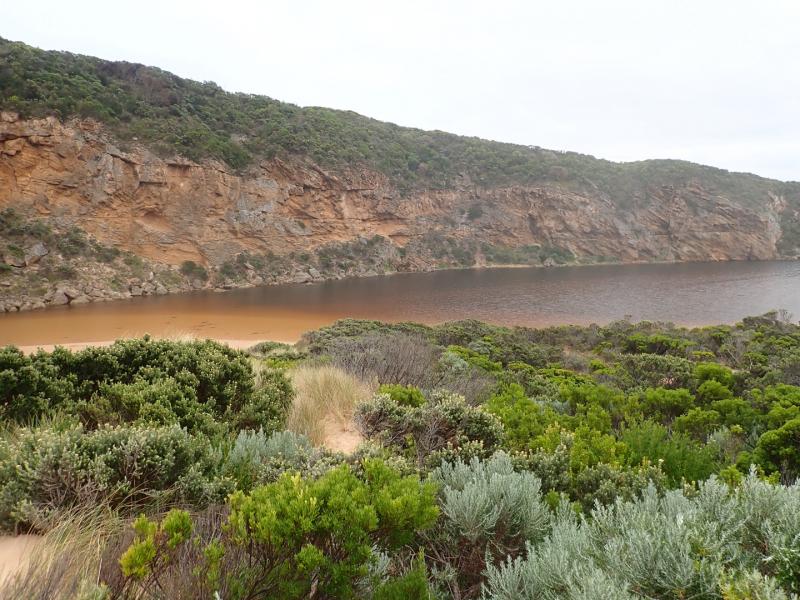
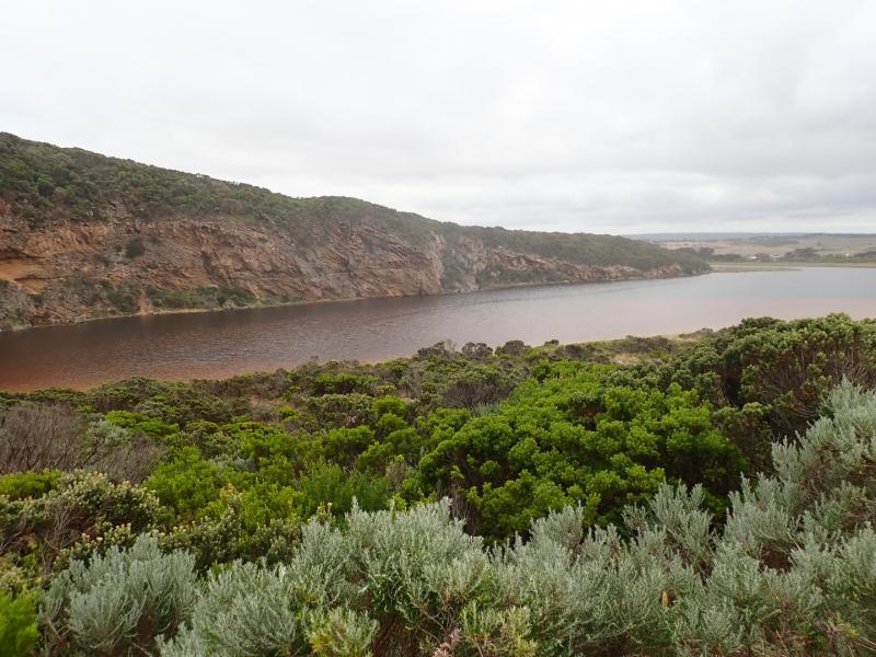
Water up to start of low track but no water over any other tracks or roads or camp ground. G4 flats have water cover with water completely across dip in causeway.There is only water in drains upstream of G4 site but it has started to enter just upstream at site of mill. Northern flats at G5 have visible water in all low areas but no water entering properties further upstream
We acknowledge and respect Victorian Traditional Owners as the original custodians of Victoria’s land and waters, their unique ability to care for Country and deep spiritual connection to it.
We honour Elders past and present whose knowledge and wisdom has ensured the continuation of culture and traditional practices.
We honour Elders past and present whose knowledge and wisdom has ensured the continuation of culture and traditional practices.
 All content, files, data and images provided by the EstuaryWatch Data Portal subject to a Creative Commons Attribution License
Data portal by CeRDI
All content, files, data and images provided by the EstuaryWatch Data Portal subject to a Creative Commons Attribution License
Data portal by CeRDI