GMC Gellibrand River Estuary Mouth Observation Site
11 February 2019
Observation details
Overview
| Estuary | Gellibrand River Estuary |
|---|---|
| Site | Gellibrand River Estuary Mouth Observation Site |
| Observation ID | #12716 |
| Date and Time | Monday 11th February 2019 15:10pm |
| Approved | Approved |
Notes
AHD G6 1.17 @ 14:40
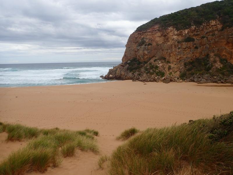
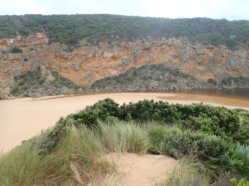
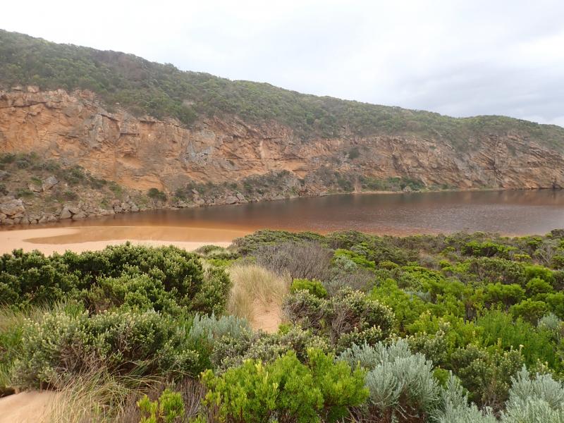
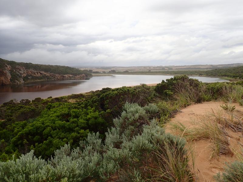
Mouth closed & short berm formed area between sea & estuary.The length has been reduced because of recent heavy local rainfall raising water level (over 40m. in some areas) . Waves over topping berm but not reaching estuary (however this had occurred during last hi tide). Entrance very dynamic & waves being driven far up on beach driven by strong SW swell.
More sand over rocks, only about .30 of 2nd rock remains exposed. Large amount of sand visible in breakers all along beach. More rocks down at south face of Pt Ronald
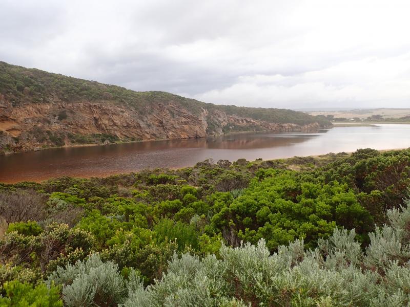
No flood water over any roads or tracks (apart from low track) nor in camp ground
Many small fish observed in shallows along low track & around auto monitor
We acknowledge and respect Victorian Traditional Owners as the original custodians of Victoria’s land and waters, their unique ability to care for Country and deep spiritual connection to it.
We honour Elders past and present whose knowledge and wisdom has ensured the continuation of culture and traditional practices.
We honour Elders past and present whose knowledge and wisdom has ensured the continuation of culture and traditional practices.
 All content, files, data and images provided by the EstuaryWatch Data Portal subject to a Creative Commons Attribution License
Data portal by CeRDI
All content, files, data and images provided by the EstuaryWatch Data Portal subject to a Creative Commons Attribution License
Data portal by CeRDI