GMC Gellibrand River Estuary Mouth Observation Site
16 November 2018
Observation details
Overview
| Estuary | Gellibrand River Estuary |
|---|---|
| Site | Gellibrand River Estuary Mouth Observation Site |
| Observation ID | #12714 |
| Date and Time | Friday 16th November 2018 11:25am |
| Approved | Approved |
Notes
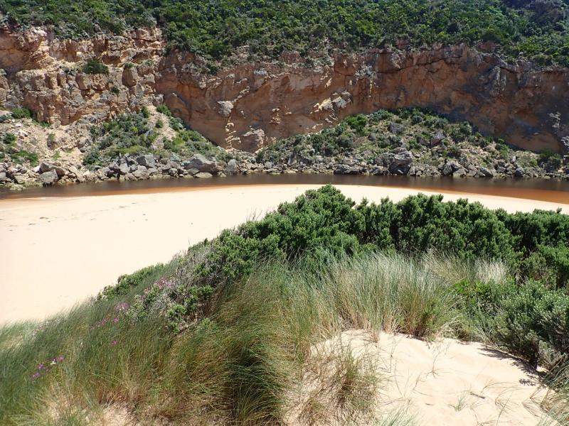
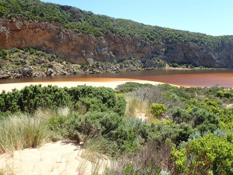
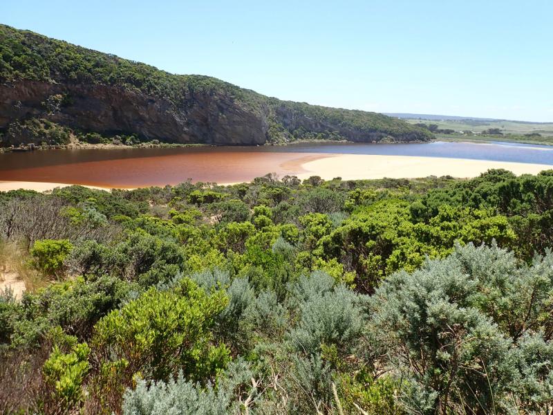
AHD G6 0.88 @ 08.40 estimate only as board is covered with silt
Dark discharge out over shallow opening going close to foreshore for about 40m to east. Longshore drift across entrance.
Sand is building up in channel more shallow & narrow. Large amount of sand in breakers all along beach. Sand is very high at east end of beach.
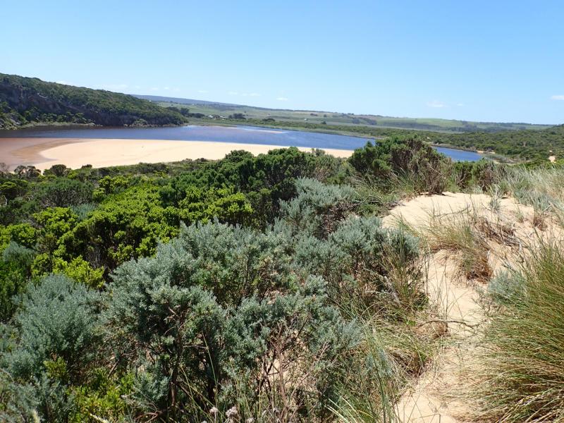
Sandbar is exposed in estuary
Bright blue damsel fly in area of low track

We acknowledge and respect Victorian Traditional Owners as the original custodians of Victoria’s land and waters, their unique ability to care for Country and deep spiritual connection to it.
We honour Elders past and present whose knowledge and wisdom has ensured the continuation of culture and traditional practices.
We honour Elders past and present whose knowledge and wisdom has ensured the continuation of culture and traditional practices.
 All content, files, data and images provided by the EstuaryWatch Data Portal subject to a Creative Commons Attribution License
Data portal by CeRDI
All content, files, data and images provided by the EstuaryWatch Data Portal subject to a Creative Commons Attribution License
Data portal by CeRDI