GMC Gellibrand River Estuary Mouth Observation Site
6 December 2018
Observation details
Overview
| Estuary | Gellibrand River Estuary |
|---|---|
| Site | Gellibrand River Estuary Mouth Observation Site |
| Observation ID | #12578 |
| Date and Time | Thursday 6th December 2018 07:20am |
| Approved | Approved |
Notes
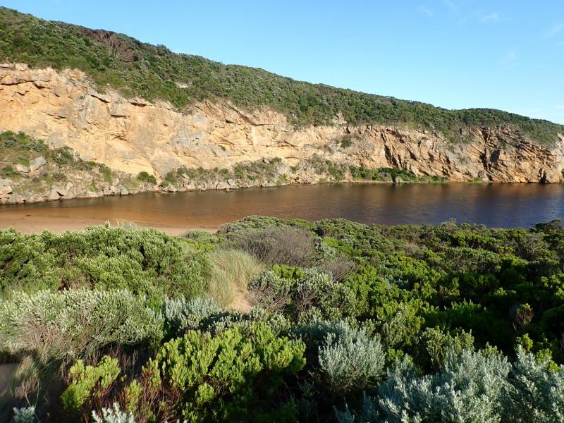
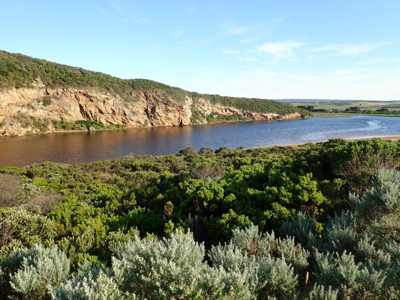
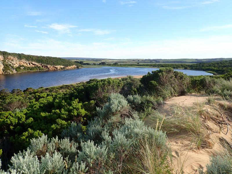
Strong dark discharge through narrow channel cascading down to lower level through rocks & out over a wide shallow area around entrance travelling to east after a recent release after last hi tide.(High seas & gale force winds on 03-12-18 caused a high sand build up that closed the mouth). Tide mark on beach indicated extent of last hi tide. Sheer 10-50 cm sides to channel gradually collapsing into fast out flow. Waves from SW swell impacting mid beach & E end. Slight longshore drift across entrance.


We acknowledge and respect Victorian Traditional Owners as the original custodians of Victoria’s land and waters, their unique ability to care for Country and deep spiritual connection to it.
We honour Elders past and present whose knowledge and wisdom has ensured the continuation of culture and traditional practices.
We honour Elders past and present whose knowledge and wisdom has ensured the continuation of culture and traditional practices.
 All content, files, data and images provided by the EstuaryWatch Data Portal subject to a Creative Commons Attribution License
Data portal by CeRDI
All content, files, data and images provided by the EstuaryWatch Data Portal subject to a Creative Commons Attribution License
Data portal by CeRDI