GMC Gellibrand River Estuary Mouth Observation Site
9 November 2018
Observation details
Overview
| Estuary | Gellibrand River Estuary |
|---|---|
| Site | Gellibrand River Estuary Mouth Observation Site |
| Observation ID | #12514 |
| Date and Time | Friday 9th November 2018 07:48am |
| Approved | Approved |
Notes
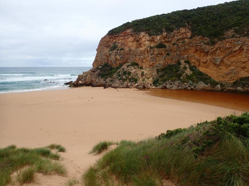
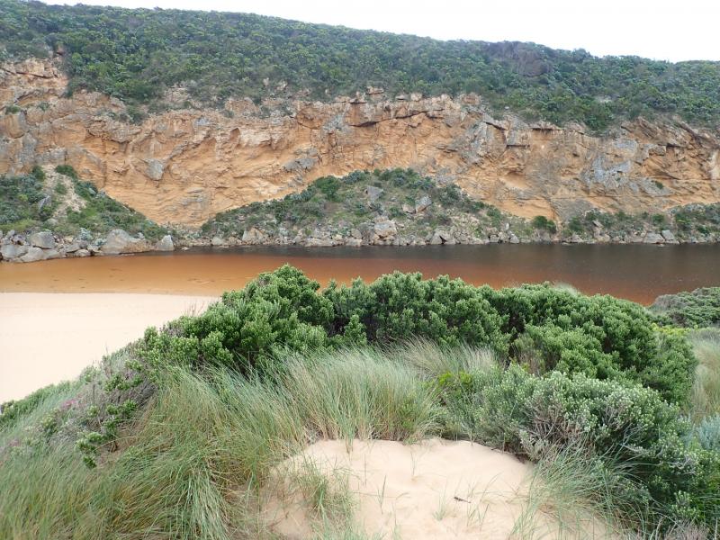
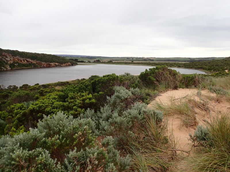
Continuing rough seas & strong west winds over past days (6.3-6.1 swell height) on 03-11-18) have created a small low berm which was observed formed across mouth around 06-11-18 pm. The top of the middle rock was still uncovered. Waves had been over topping the berm at the last hi tide & entering the estuary - indicated by sand & swash line. Beach undulating with some very low areas. Sand very high at east end where sheer sided areas occur at the top of a steep decent to ocean - beach slopes down towards start of berm & entrance. Waves have been up to base of dunes in some areas - indicated by swash line which contained large dense areas of small shells, tiny crabs, shrimp, extremely small Janthina-janthina & larger 'By the wind sailors'.
No water in camp ground or over any roads/tracks. Water up to the ocean car park along low track & up to the side of the recently raised OOR near flood markers (drains & sides of OOR are currently undergoing maintenance)
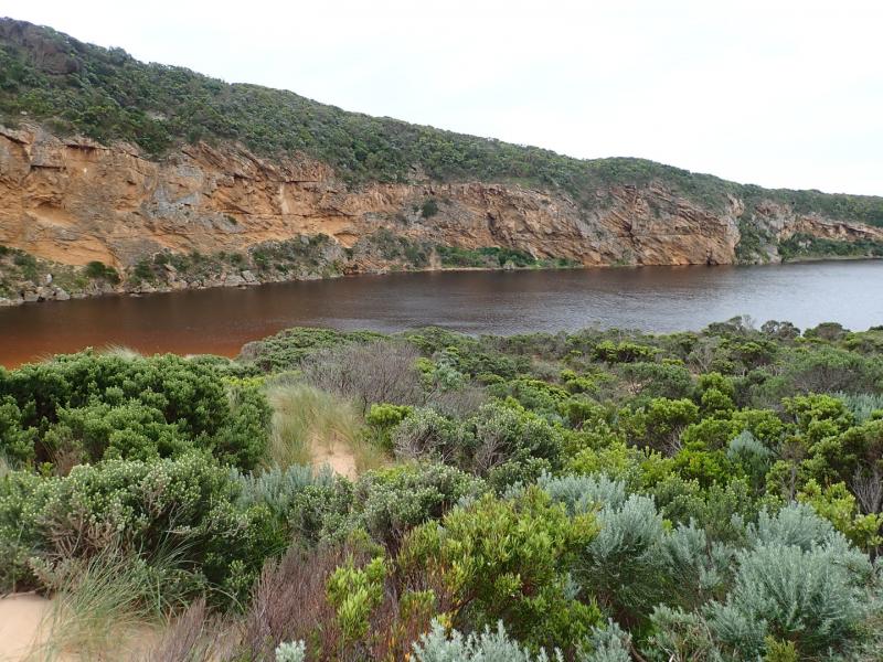
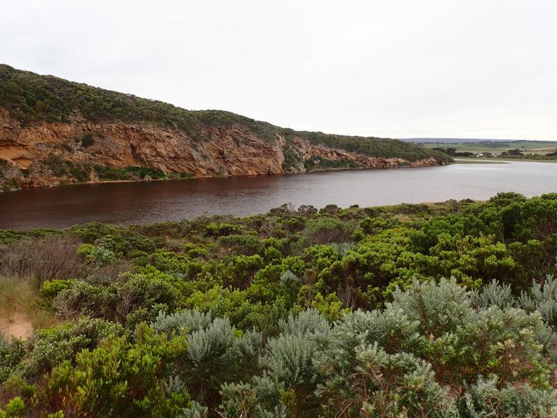
Flood water occurs on both west & east flats @ Kangaroobie, G4 (Rivernook) flats are under water with wide flow through dip in causeway. US G4 water in drains only up to between G5&G4 . Upstream from there to G5 water covers large areas on both sides of channel. Water just starting to enter upstream of Coxon's track (G5)
AHD @ G6 1.60 @ 07:15 rising to 1.61 @14:58 AHD @ G2 1.43 @ 07:15 rising to 1.46 @ 17:00
We honour Elders past and present whose knowledge and wisdom has ensured the continuation of culture and traditional practices.
 All content, files, data and images provided by the EstuaryWatch Data Portal subject to a Creative Commons Attribution License
Data portal by CeRDI
All content, files, data and images provided by the EstuaryWatch Data Portal subject to a Creative Commons Attribution License
Data portal by CeRDI