GMC Gellibrand River Estuary Mouth Observation Site
19 October 2018
Observation details
Overview
| Estuary | Gellibrand River Estuary |
|---|---|
| Site | Gellibrand River Estuary Mouth Observation Site |
| Observation ID | #12453 |
| Date and Time | Friday 19th October 2018 11:50am |
| Approved | Approved |
Notes
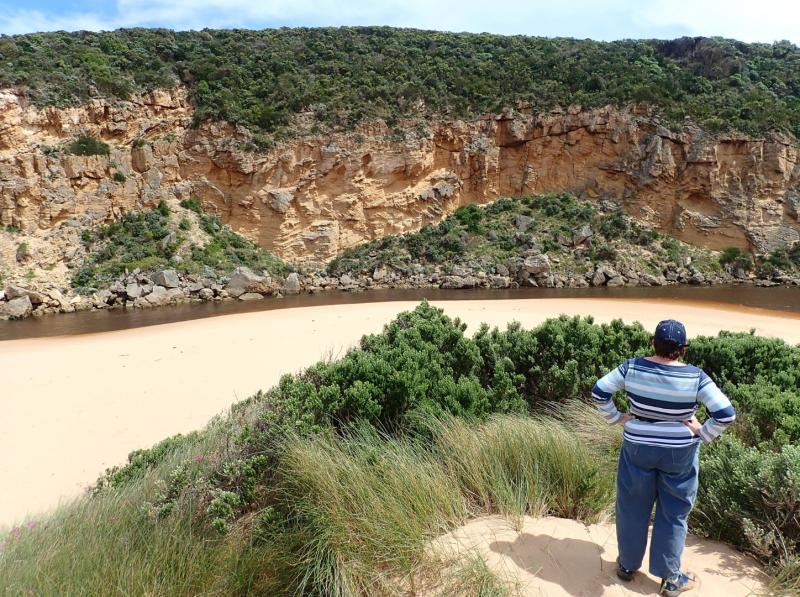
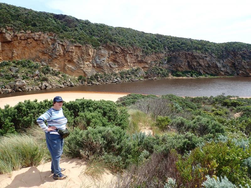
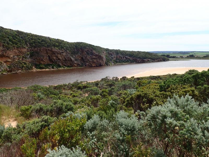
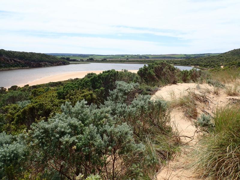
Strongly flowing dark discharge around entrance & travelling south with some moving east along foreshore.
Beach is undulating with waves going further in low depressions (running north south), large amount of sand in back wash from these areas. Strong longshore drift across mouth.
Heavy local rainfall combined with higher falls in catchment (41 ml. recorded @ G6 -total since 15-10-2018) have greatly increased flow with river flushing strongly. Depth profile showed similar readings from top to bottom of water column at G5 & G4

We acknowledge and respect Victorian Traditional Owners as the original custodians of Victoria’s land and waters, their unique ability to care for Country and deep spiritual connection to it.
We honour Elders past and present whose knowledge and wisdom has ensured the continuation of culture and traditional practices.
We honour Elders past and present whose knowledge and wisdom has ensured the continuation of culture and traditional practices.
 All content, files, data and images provided by the EstuaryWatch Data Portal subject to a Creative Commons Attribution License
Data portal by CeRDI
All content, files, data and images provided by the EstuaryWatch Data Portal subject to a Creative Commons Attribution License
Data portal by CeRDI