GMC Gellibrand River Estuary Mouth Observation Site
15 October 2018
Observation details
Overview
| Estuary | Gellibrand River Estuary |
|---|---|
| Site | Gellibrand River Estuary Mouth Observation Site |
| Observation ID | #12447 |
| Date and Time | Monday 15th October 2018 09:36am |
| Approved | Approved |
Notes
AHD G6 0.95 @ 09:15 AHD board difficult to read because of silt.
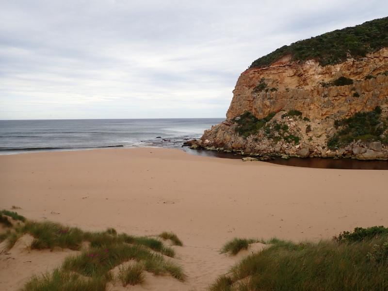
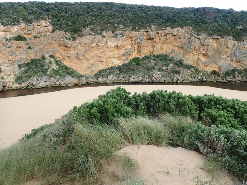
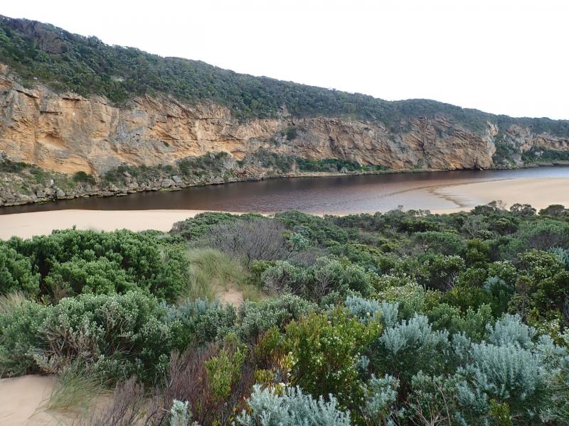
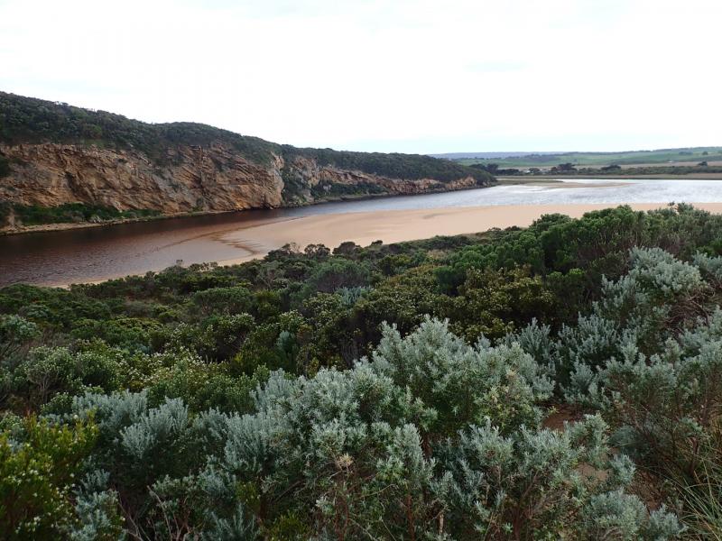
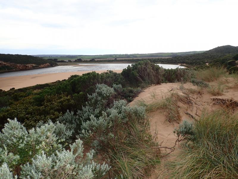
Observations made at low tide. Extremely pale discharge out around mouth over large sand build up - also sand building up in channel. Reduced flow only passing through very narrow gap between 1st & 2nd rock and a larger area over rapids between 2nd. & 3rd rock. Some water passing between 3rd. rock & cliff base
Sand on south side of estuary extending north into estuary. North wind driven waves (gusts much stronger than 4 ) have cut sheer side to the projection. Sand bar also exposed. The east side of the channel south of rocks also has sheer side -possibly resulting from tidal action
We acknowledge and respect Victorian Traditional Owners as the original custodians of Victoria’s land and waters, their unique ability to care for Country and deep spiritual connection to it.
We honour Elders past and present whose knowledge and wisdom has ensured the continuation of culture and traditional practices.
We honour Elders past and present whose knowledge and wisdom has ensured the continuation of culture and traditional practices.
 All content, files, data and images provided by the EstuaryWatch Data Portal subject to a Creative Commons Attribution License
Data portal by CeRDI
All content, files, data and images provided by the EstuaryWatch Data Portal subject to a Creative Commons Attribution License
Data portal by CeRDI