GMC Gellibrand River Estuary Mouth Observation Site
2 October 2018
Observation details
Overview
| Estuary | Gellibrand River Estuary |
|---|---|
| Site | Gellibrand River Estuary Mouth Observation Site |
| Observation ID | #12446 |
| Date and Time | Tuesday 2nd October 2018 10:45am |
| Approved | Approved |
Notes
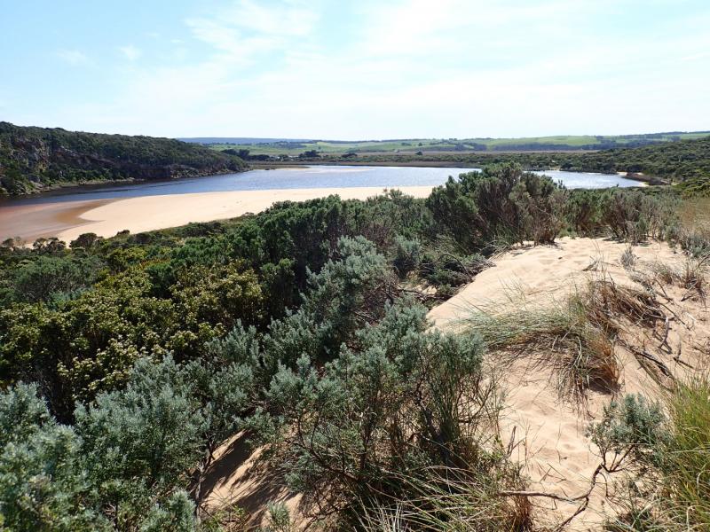
AHD G6 1.34 @ 09:03 G20.54 @10:45
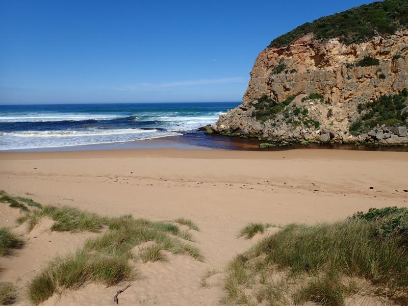
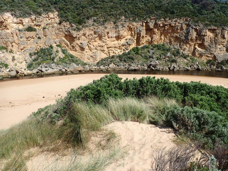
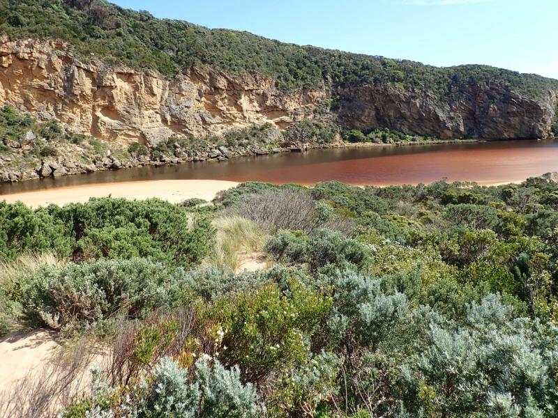
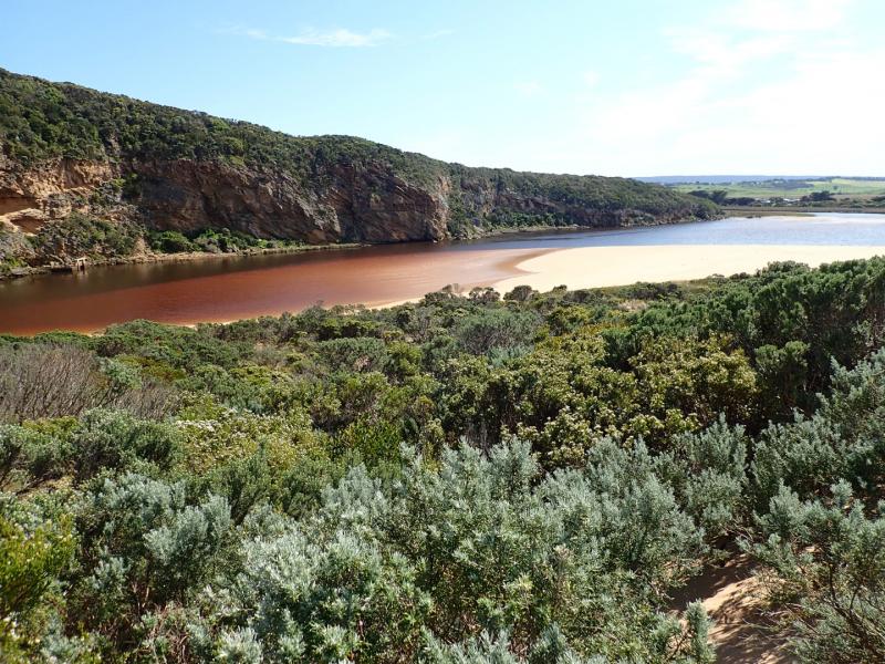
Observations made close to low tide
Dark discharge mainly out around mouth, paler area out to south, then travels east before going out to sea about 2/3 rds. of beach. Large amount of sand visible in breakers directly south of the entrance
Large areas of sand exposed on ocean beach & on south side of estuary where it extends some distance to north. Sand bar exposed
Stick Caddis found near entrance
I male & 2 female Red kneed Dotterels feeding in north wetland near GOR & OOR corner
We acknowledge and respect Victorian Traditional Owners as the original custodians of Victoria’s land and waters, their unique ability to care for Country and deep spiritual connection to it.
We honour Elders past and present whose knowledge and wisdom has ensured the continuation of culture and traditional practices.
We honour Elders past and present whose knowledge and wisdom has ensured the continuation of culture and traditional practices.
 All content, files, data and images provided by the EstuaryWatch Data Portal subject to a Creative Commons Attribution License
Data portal by CeRDI
All content, files, data and images provided by the EstuaryWatch Data Portal subject to a Creative Commons Attribution License
Data portal by CeRDI