GMC Gellibrand River Estuary Mouth Observation Site
21 September 2018
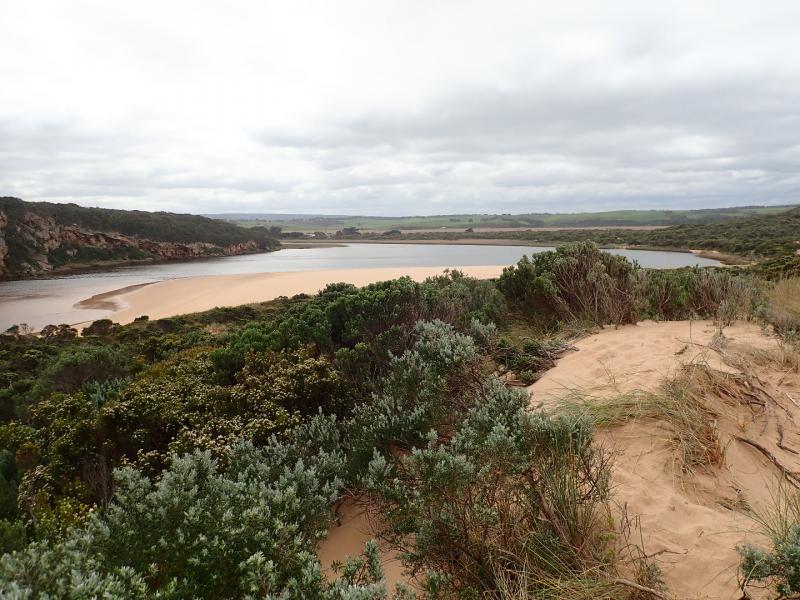
Observation details
Overview
| Estuary | Gellibrand River Estuary |
|---|---|
| Site | Gellibrand River Estuary Mouth Observation Site |
| Observation ID | #12406 |
| Date and Time | Friday 21st September 2018 12:20pm |
| Approved | Approved |
Notes
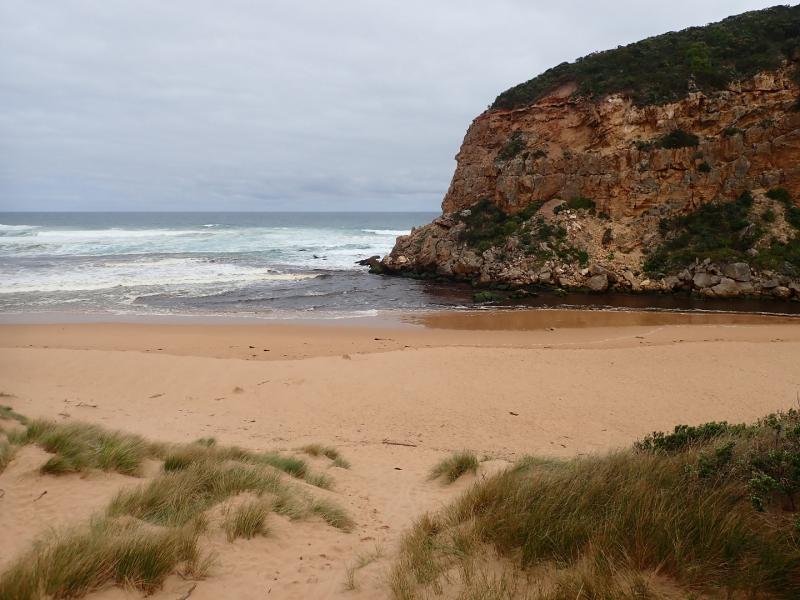
Dark discharge out to east along side of foreshore, waves in all directions at entrance & along beach, some entering down east side of the channel into estuary. Strong longshore drift travelling west to entrance
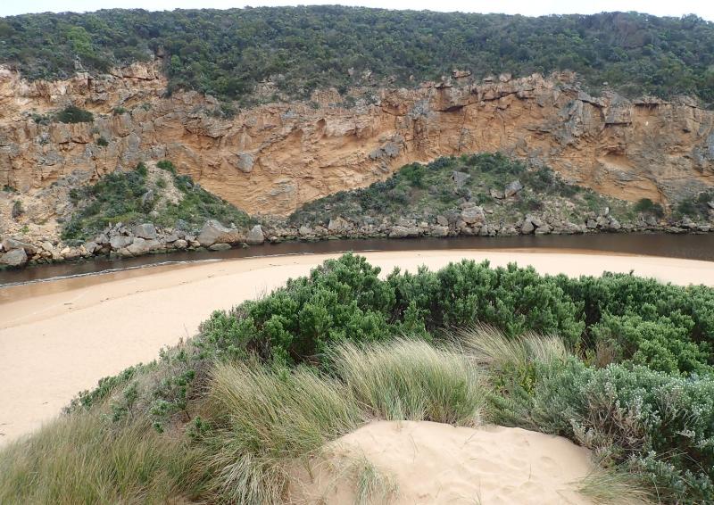
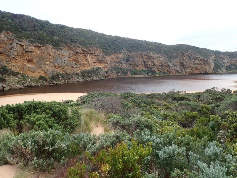
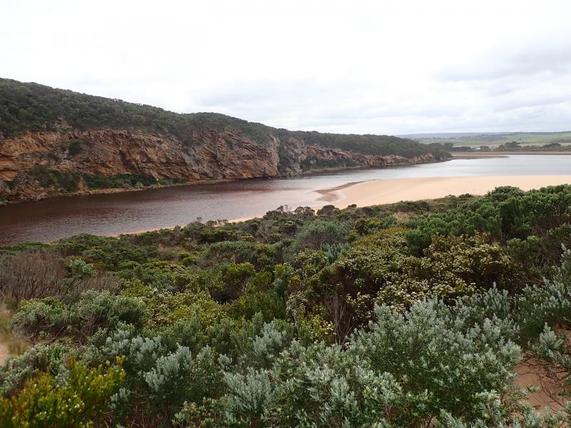
Flats upstream draining, most extensive remaining water cover is around G5 where Cape pond weed is flowering prolifically
Strong red coloured discharge from springs in areas where low pH has been recorded along OOR
Very large dense mass of algae in drain/creek east OOR
We acknowledge and respect Victorian Traditional Owners as the original custodians of Victoria’s land and waters, their unique ability to care for Country and deep spiritual connection to it.
We honour Elders past and present whose knowledge and wisdom has ensured the continuation of culture and traditional practices.
We honour Elders past and present whose knowledge and wisdom has ensured the continuation of culture and traditional practices.
 All content, files, data and images provided by the EstuaryWatch Data Portal subject to a Creative Commons Attribution License
Data portal by CeRDI
All content, files, data and images provided by the EstuaryWatch Data Portal subject to a Creative Commons Attribution License
Data portal by CeRDI