GMC Gellibrand River Estuary Mouth Observation Site
1 September 2018
Observation details
Overview
| Estuary | Gellibrand River Estuary |
|---|---|
| Site | Gellibrand River Estuary Mouth Observation Site |
| Observation ID | #12368 |
| Date and Time | Saturday 1st September 2018 09:55am |
| Approved | Approved |
Notes
AHD board unreadable (estimate only) as covered with silt
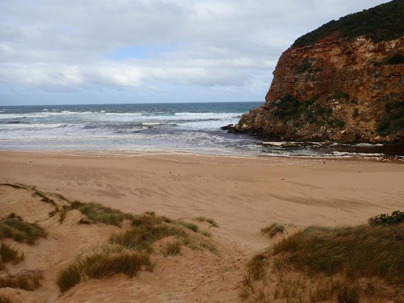
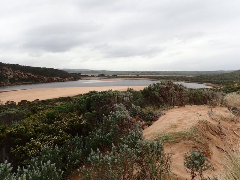
Dark discharge out around mouth & slightly to east.Very large amount of silt & foam along beach close to entrance, occasional longshore drift across entrance with small waves entering. Beach face at east end is increasing in height & steepness. Depression formed more deeply behind this area dropping down as it goes west
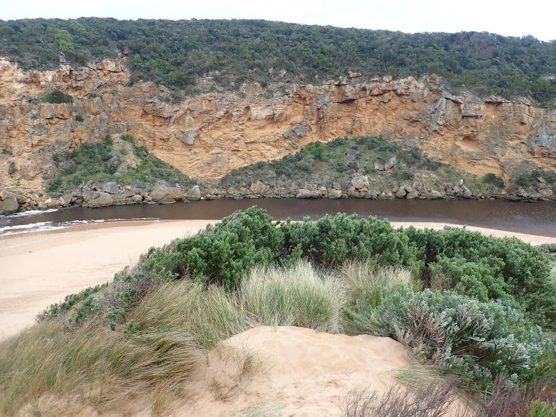
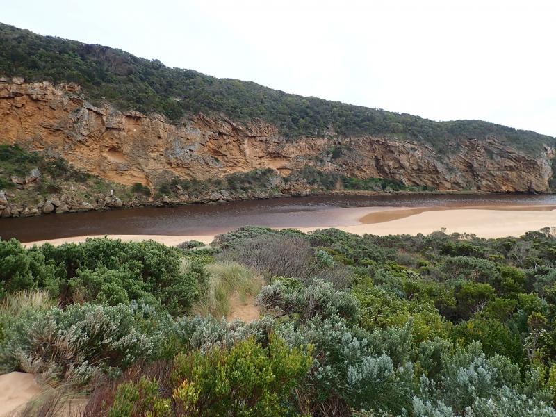
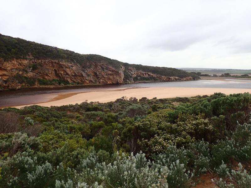
Very large amount of sand exposed on south side of estuary & sand bar partly visible
More extensive erosion on south face of Pt Ronald
Flood water upstream receding but large areas of shallow water remain around G5 where Aponogeton distachos is prolific & flowering
We acknowledge and respect Victorian Traditional Owners as the original custodians of Victoria’s land and waters, their unique ability to care for Country and deep spiritual connection to it.
We honour Elders past and present whose knowledge and wisdom has ensured the continuation of culture and traditional practices.
We honour Elders past and present whose knowledge and wisdom has ensured the continuation of culture and traditional practices.
 All content, files, data and images provided by the EstuaryWatch Data Portal subject to a Creative Commons Attribution License
Data portal by CeRDI
All content, files, data and images provided by the EstuaryWatch Data Portal subject to a Creative Commons Attribution License
Data portal by CeRDI