CuMC Curdies Mouth Condition
18 June 2018
Observation details
Overview
| Estuary | Curdies River Estuary |
|---|---|
| Site | Curdies Mouth Condition |
| Observation ID | #12167 |
| Date and Time | Monday 18th June 2018 09:20am |
| Approved | Approved |
Notes
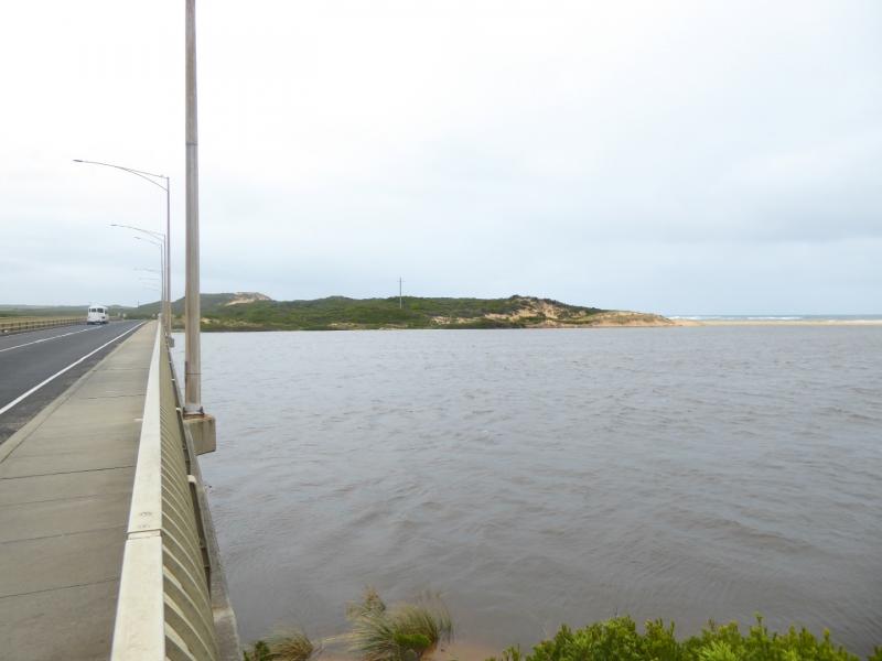
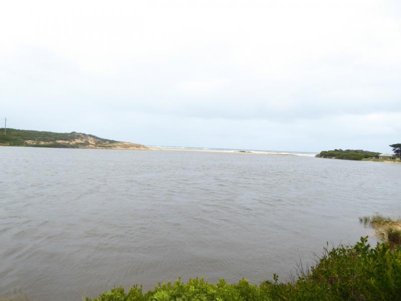
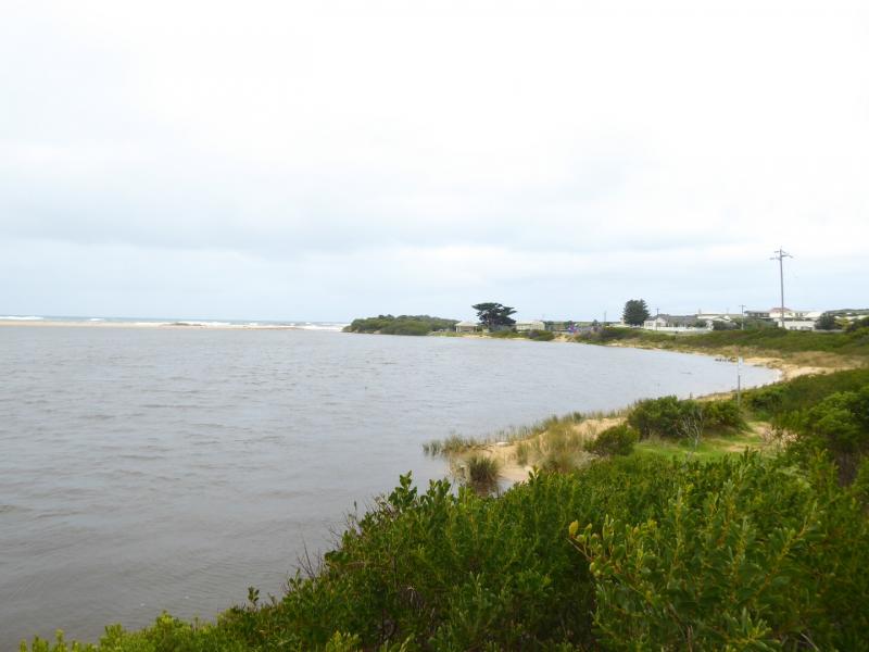
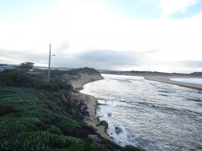
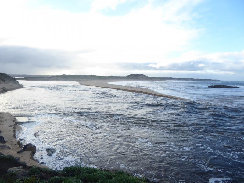
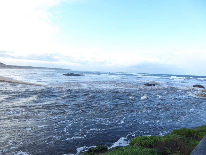
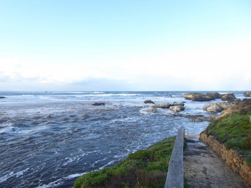
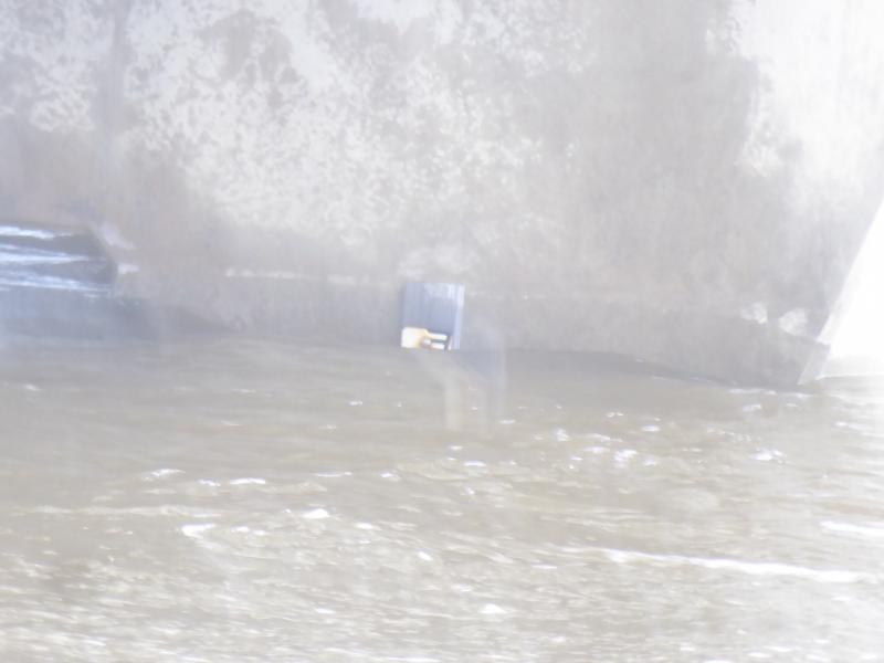
Natural river opening occurred overnight, after large amount of water came down the river. Height gauge was almost completely covered when inspected, (see photo), but there was evidence of higher water levels earlier. The Great Ocean Road had approx 150 cm water over the road just east of Peterborough, and the caravan park was flooded.
We acknowledge and respect Victorian Traditional Owners as the original custodians of Victoria’s land and waters, their unique ability to care for Country and deep spiritual connection to it.
We honour Elders past and present whose knowledge and wisdom has ensured the continuation of culture and traditional practices.
We honour Elders past and present whose knowledge and wisdom has ensured the continuation of culture and traditional practices.
 All content, files, data and images provided by the EstuaryWatch Data Portal subject to a Creative Commons Attribution License
Data portal by CeRDI
All content, files, data and images provided by the EstuaryWatch Data Portal subject to a Creative Commons Attribution License
Data portal by CeRDI