GMC Gellibrand River Estuary Mouth Observation Site
15 April 2018
Observation details
Overview
| Estuary | Gellibrand River Estuary |
|---|---|
| Site | Gellibrand River Estuary Mouth Observation Site |
| Observation ID | #11971 |
| Date and Time | Sunday 15th April 2018 12:16pm |
| Approved | Approved |
Notes
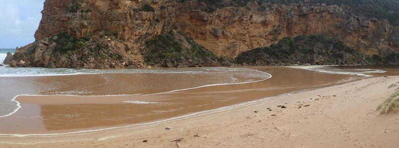
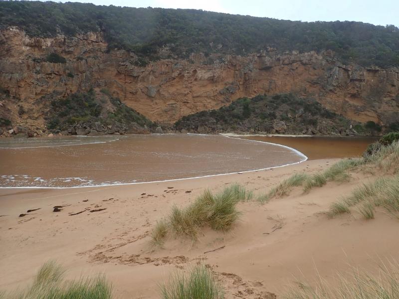
Waves over all along berm reaching estuary but only very slight salt return. High seas impacting at both ends of beach going high up on steep face of east dune & down beach to cliff at west. Increased longshore drift at high tide towards entrance
Water on hi track increased, water in areas across lower track to Ocean car park & several large puddles south of camp ground. No water across OCR between camp ground & GOR but increased water from runoff SW area of camp ground. Water flowing strongly from south to north across OOR in two areas at flood markers
We acknowledge and respect Victorian Traditional Owners as the original custodians of Victoria’s land and waters, their unique ability to care for Country and deep spiritual connection to it.
We honour Elders past and present whose knowledge and wisdom has ensured the continuation of culture and traditional practices.
We honour Elders past and present whose knowledge and wisdom has ensured the continuation of culture and traditional practices.
 All content, files, data and images provided by the EstuaryWatch Data Portal subject to a Creative Commons Attribution License
Data portal by CeRDI
All content, files, data and images provided by the EstuaryWatch Data Portal subject to a Creative Commons Attribution License
Data portal by CeRDI