GMC Gellibrand River Estuary Mouth Observation Site
6 April 2018
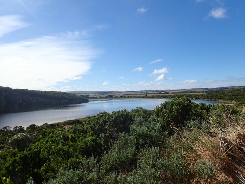
Observation details
Overview
| Estuary | Gellibrand River Estuary |
|---|---|
| Site | Gellibrand River Estuary Mouth Observation Site |
| Observation ID | #11948 |
| Date and Time | Friday 6th April 2018 12:47pm |
| Approved | Approved |
Notes
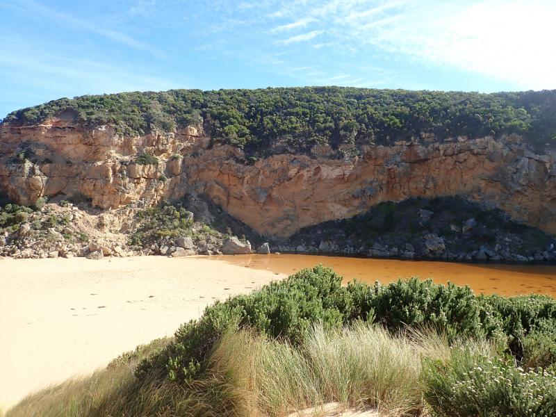
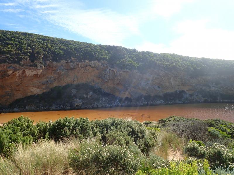
Reducing wave height & light wind have affected waves reaching estuary
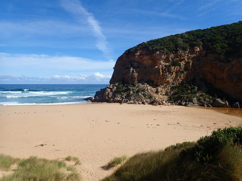
Main impact from SW swell is at east end of beach, travelling hi up on sand & continuing to scour out previously covered rocks. Large amount of sand in backwash. Actual beach face at rocks is steep but further west high & rounded. Area about 50m from west cliff is highest part of beach - east end now much lower.
Beach littered with large no. squid carapaces
Only small amount of water at edge of south side of OOR & puddles a bit larger at SW end of camp ground
We acknowledge and respect Victorian Traditional Owners as the original custodians of Victoria’s land and waters, their unique ability to care for Country and deep spiritual connection to it.
We honour Elders past and present whose knowledge and wisdom has ensured the continuation of culture and traditional practices.
We honour Elders past and present whose knowledge and wisdom has ensured the continuation of culture and traditional practices.
 All content, files, data and images provided by the EstuaryWatch Data Portal subject to a Creative Commons Attribution License
Data portal by CeRDI
All content, files, data and images provided by the EstuaryWatch Data Portal subject to a Creative Commons Attribution License
Data portal by CeRDI