GMC Gellibrand River Estuary Mouth Observation Site
13 March 2018
Observation details
Overview
| Estuary | Gellibrand River Estuary |
|---|---|
| Site | Gellibrand River Estuary Mouth Observation Site |
| Observation ID | #11914 |
| Date and Time | Tuesday 13th March 2018 14:30pm |
| Approved | Approved |
Notes
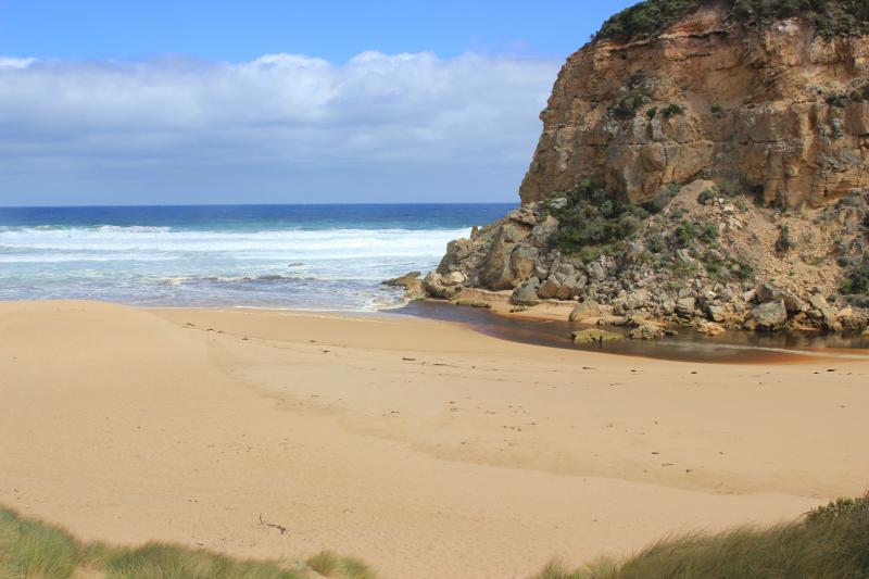
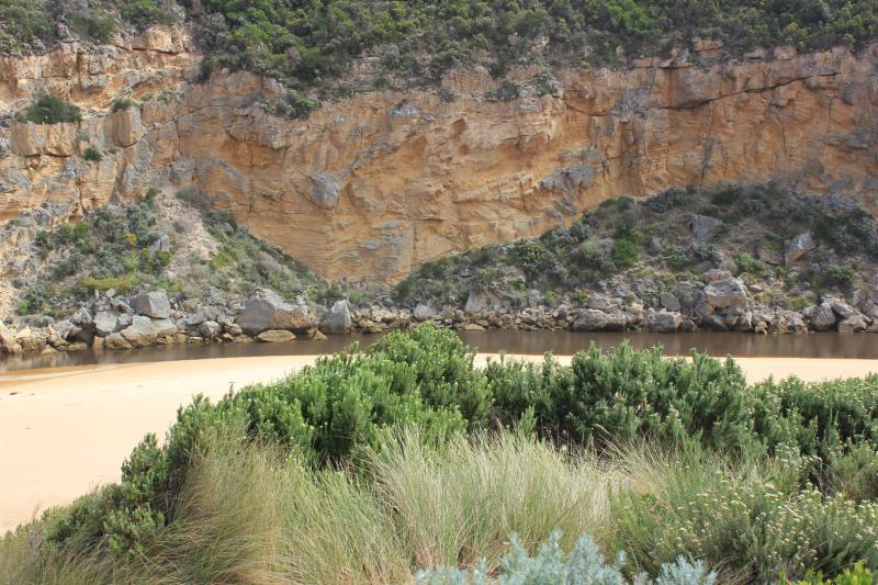
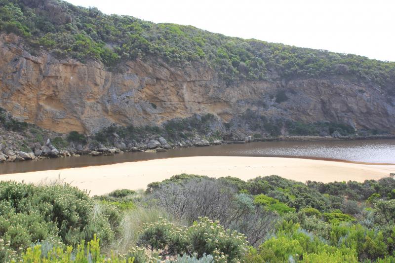
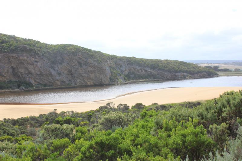
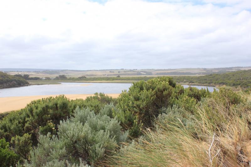
Dark discharge out around mouth then turning east & going out to sea at mid beach. Sand building up at entrance & flow reducing. Strong longshore drift across entrance sending waves about 50m. up the channel but not visible entering the estuary
Swash line from last high tide high up on beach, side of channel & on S side of estuary where a very large area is now exposed. Sand bar is also exposed
Stream side veg. coated with drying algae
We acknowledge and respect Victorian Traditional Owners as the original custodians of Victoria’s land and waters, their unique ability to care for Country and deep spiritual connection to it.
We honour Elders past and present whose knowledge and wisdom has ensured the continuation of culture and traditional practices.
We honour Elders past and present whose knowledge and wisdom has ensured the continuation of culture and traditional practices.
 All content, files, data and images provided by the EstuaryWatch Data Portal subject to a Creative Commons Attribution License
Data portal by CeRDI
All content, files, data and images provided by the EstuaryWatch Data Portal subject to a Creative Commons Attribution License
Data portal by CeRDI