GMC Gellibrand River Estuary Mouth Observation Site
5 March 2018
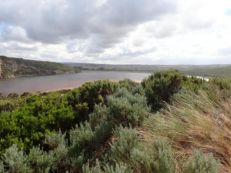
Observation details
Overview
| Estuary | Gellibrand River Estuary |
|---|---|
| Site | Gellibrand River Estuary Mouth Observation Site |
| Observation ID | #11865 |
| Date and Time | Monday 5th March 2018 09:22am |
| Approved | Approved |
Notes
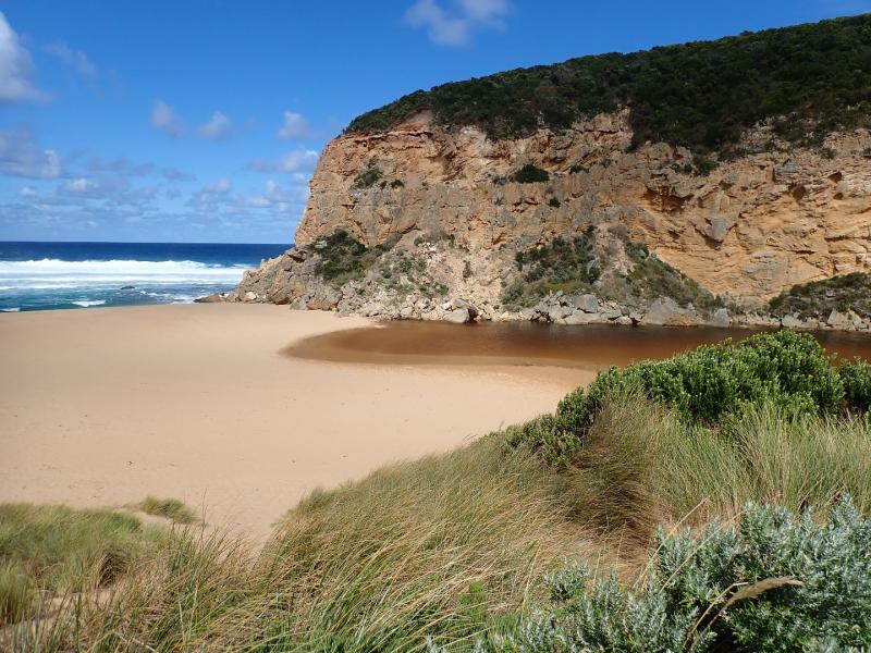
Mouth still barred, some waves have been over topping along the berm but not reaching the estuary where water levels are higher with wider front . Water is completely across from cliff to dunes at northern end of channel
No water over OCR & only puddles from rising ground water in camp ground ( no visible connection with river observed) Water still only at S side of OOR -between Lawson's & GOR (1 small puddle) More water near flood markers where a huge no. very small fish were observed swimming in drain & pond on S side. Small area of water on N side of road at west blocked culvert. More flood water on flats D/S G4
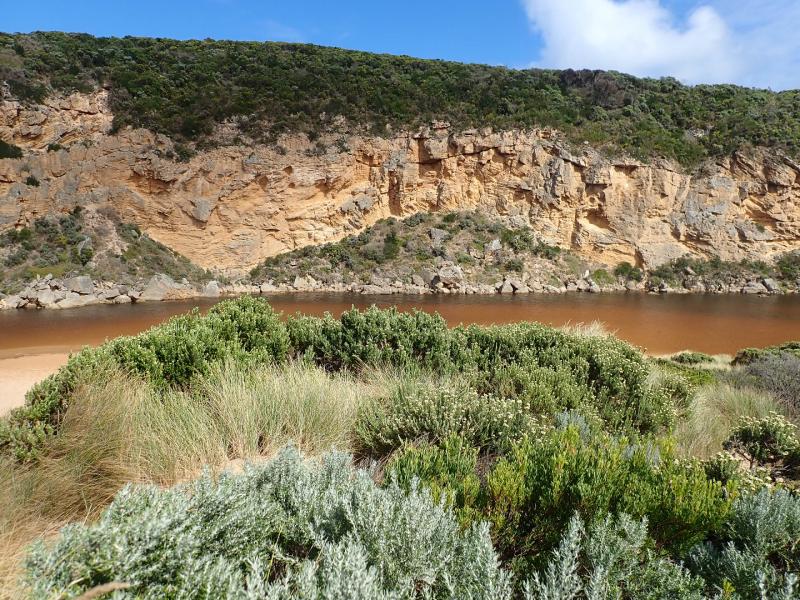
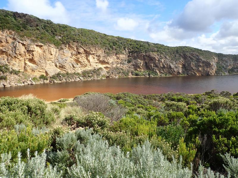
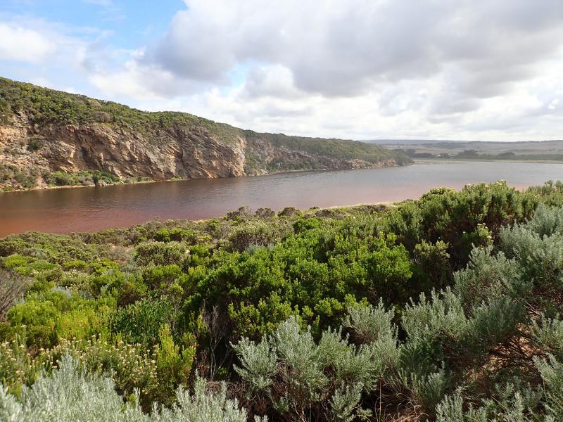
This is an very unusual event as there has been very little local rainfall /runoff. Water in estuary has been mainly from springs flowing strongly (confirmed by many local land owners) & only a very minimal flow from upstream catchment
We honour Elders past and present whose knowledge and wisdom has ensured the continuation of culture and traditional practices.
 All content, files, data and images provided by the EstuaryWatch Data Portal subject to a Creative Commons Attribution License
Data portal by CeRDI
All content, files, data and images provided by the EstuaryWatch Data Portal subject to a Creative Commons Attribution License
Data portal by CeRDI