GMC Gellibrand River Estuary Mouth Observation Site
28 February 2018
Observation details
Overview
| Estuary | Gellibrand River Estuary |
|---|---|
| Site | Gellibrand River Estuary Mouth Observation Site |
| Observation ID | #11844 |
| Date and Time | Wednesday 28th February 2018 09:00am |
| Approved | Approved |
Notes
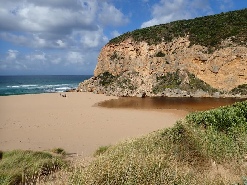
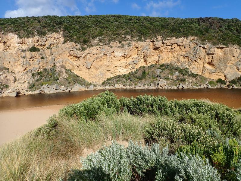
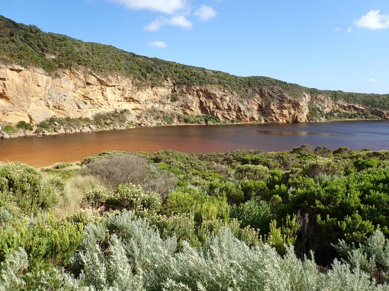
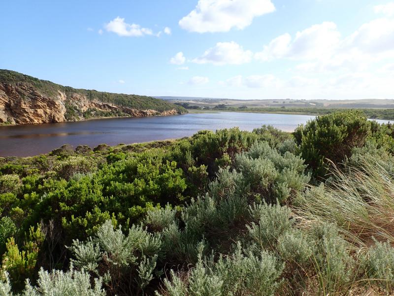
Mouth remains closed & berm has increased in size with more sand over rocks. Water level in estuary higher with water over all of low track & small amount in lowest part of top track. No water over other roads, camp ground or tracks apart from water at side of OOR at flood markers where an extremely large number of small fish (1-4 cm) are very active
Estuary has now extended completely across from cliff to sand dunes at northern end of channel
Unusual westerly swell impacting east end of beach to around mid beach where waves are going further up - the backwash continues to scour out narrow depressions at mid beach with large amount of sand in breakers. Closer to east small sand cliffs have formed at beach face
We acknowledge and respect Victorian Traditional Owners as the original custodians of Victoria’s land and waters, their unique ability to care for Country and deep spiritual connection to it.
We honour Elders past and present whose knowledge and wisdom has ensured the continuation of culture and traditional practices.
We honour Elders past and present whose knowledge and wisdom has ensured the continuation of culture and traditional practices.
 All content, files, data and images provided by the EstuaryWatch Data Portal subject to a Creative Commons Attribution License
Data portal by CeRDI
All content, files, data and images provided by the EstuaryWatch Data Portal subject to a Creative Commons Attribution License
Data portal by CeRDI