GMC Gellibrand River Estuary Mouth Observation Site
25 January 2018
Observation details
Overview
| Estuary | Gellibrand River Estuary |
|---|---|
| Site | Gellibrand River Estuary Mouth Observation Site |
| Observation ID | #11748 |
| Date and Time | Thursday 25th January 2018 08:00am |
| Approved | Approved |
Notes
AHD G6 0.99 @ 07:40 (both sites are very close G2 1.01 @ 08:00)
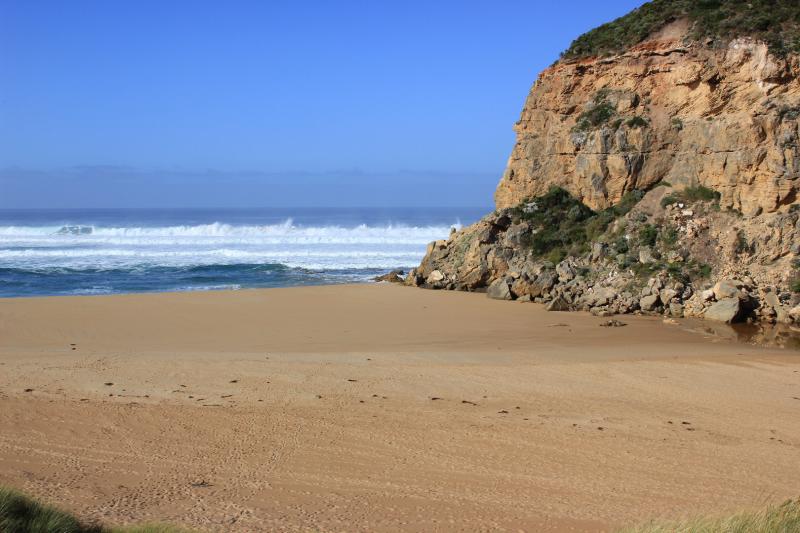
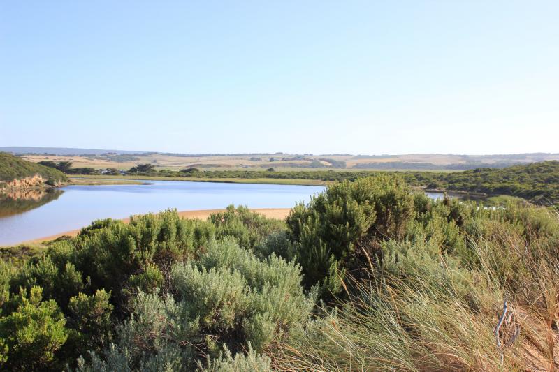
High berm next to ocean - waves from rough sea coming up close to top but sand slopes down quickly to rocks where about 30-40 cm. of tallest one is still exposed above the sand
Sand is very high at east end of beach, numerous lower areas occur along the beach front till about 40-50 m. from the west cliff where it is much lower with waves going further up towards the dunes. The sand then rises much higher from there to the cliff face
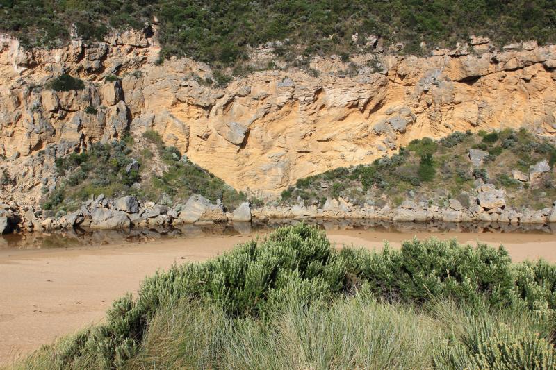
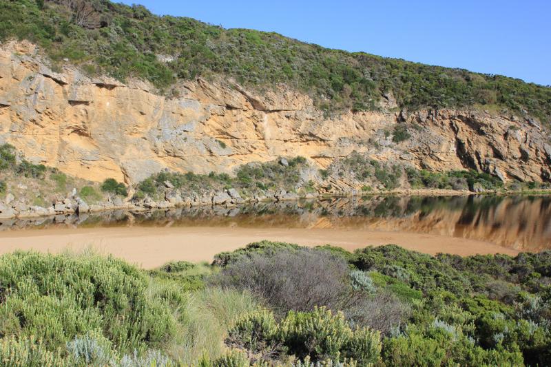
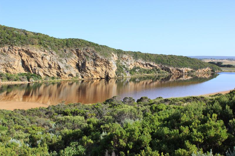
Water levels in estuary are higher with some parts of low track impassable -no water over any other tracks or roads. Water is entering drain upstream of G4
We acknowledge and respect Victorian Traditional Owners as the original custodians of Victoria’s land and waters, their unique ability to care for Country and deep spiritual connection to it.
We honour Elders past and present whose knowledge and wisdom has ensured the continuation of culture and traditional practices.
We honour Elders past and present whose knowledge and wisdom has ensured the continuation of culture and traditional practices.
 All content, files, data and images provided by the EstuaryWatch Data Portal subject to a Creative Commons Attribution License
Data portal by CeRDI
All content, files, data and images provided by the EstuaryWatch Data Portal subject to a Creative Commons Attribution License
Data portal by CeRDI