GMC Gellibrand River Estuary Mouth Observation Site
27 December 2017
Observation details
Overview
| Estuary | Gellibrand River Estuary |
|---|---|
| Site | Gellibrand River Estuary Mouth Observation Site |
| Observation ID | #11683 |
| Date and Time | Wednesday 27th December 2017 08:30am |
| Approved | Approved |
Notes
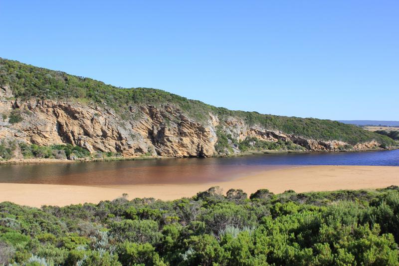
Pale discharge out along foreshore not far from entrance then dispersing out to sea
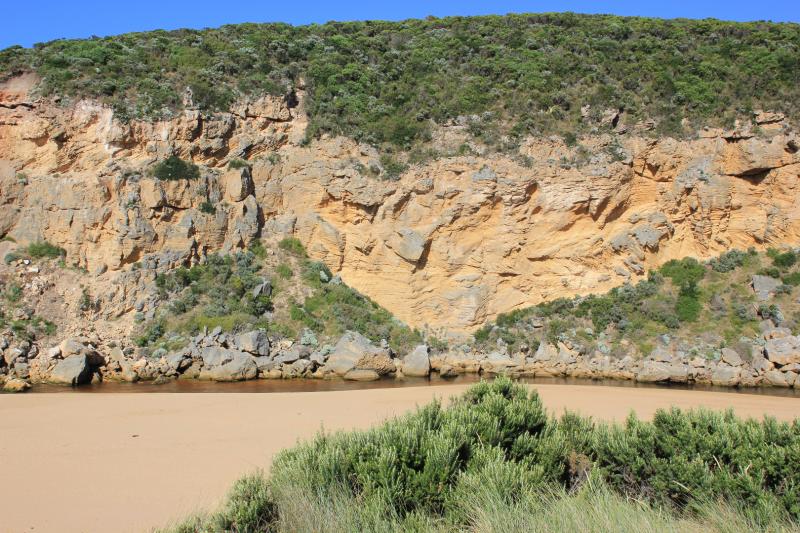
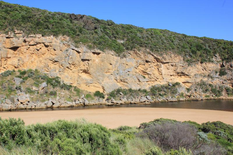
Channel very narrow & more shallow, reduced flow only on both sides of 3rd rock. More sand downstream of rocks making entrance wide & very shallow. Longshore drift across mouth still active
Beach has more sand covering rocks at east end. High in that area & also at mid beach after which it slopes down wide to the mouth
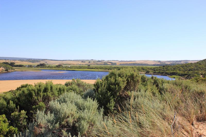
Large amount of algae on stream side veg in shallow water alongside low track. North wind bringing waves carrying algae & red silt? to S.E. cr. of estuary. Sand bar only part uncovered. Many Ravens around estuary

We acknowledge and respect Victorian Traditional Owners as the original custodians of Victoria’s land and waters, their unique ability to care for Country and deep spiritual connection to it.
We honour Elders past and present whose knowledge and wisdom has ensured the continuation of culture and traditional practices.
We honour Elders past and present whose knowledge and wisdom has ensured the continuation of culture and traditional practices.
 All content, files, data and images provided by the EstuaryWatch Data Portal subject to a Creative Commons Attribution License
Data portal by CeRDI
All content, files, data and images provided by the EstuaryWatch Data Portal subject to a Creative Commons Attribution License
Data portal by CeRDI