GMC Gellibrand River Estuary Mouth Observation Site
6 December 2017
Observation details
Overview
| Estuary | Gellibrand River Estuary |
|---|---|
| Site | Gellibrand River Estuary Mouth Observation Site |
| Observation ID | #11635 |
| Date and Time | Wednesday 6th December 2017 10:20am |
| Approved | Approved |
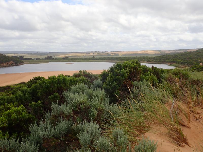
Notes
AHD @ G6 1.21
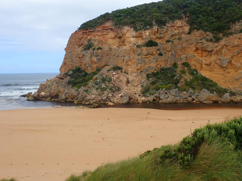
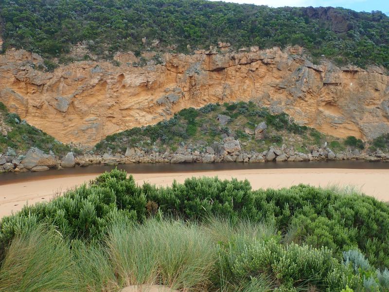
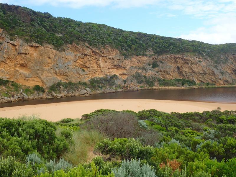
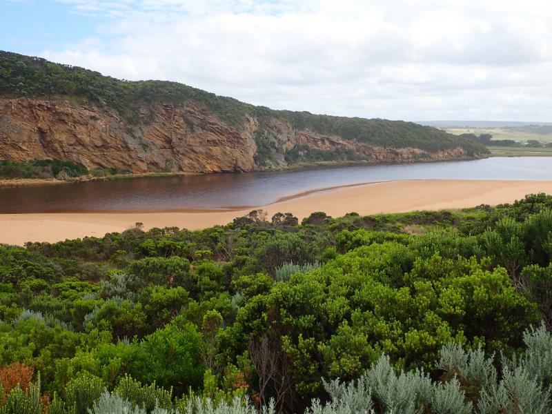
Pale discharge out around the mouth & slightly to east.
Water levels dropping after recent rain event. Swash line from last hi tide is high up on beach clearly indicated by dark silt.
Beach has been reshaped (possibility from recent short swell times & directional changes) with more sand close to entrance. No flow between eastern side of 1st rock & beach
More rock down from the south face of Pt Ronald
We acknowledge and respect Victorian Traditional Owners as the original custodians of Victoria’s land and waters, their unique ability to care for Country and deep spiritual connection to it.
We honour Elders past and present whose knowledge and wisdom has ensured the continuation of culture and traditional practices.
We honour Elders past and present whose knowledge and wisdom has ensured the continuation of culture and traditional practices.
 All content, files, data and images provided by the EstuaryWatch Data Portal subject to a Creative Commons Attribution License
Data portal by CeRDI
All content, files, data and images provided by the EstuaryWatch Data Portal subject to a Creative Commons Attribution License
Data portal by CeRDI