GMC Gellibrand River Estuary Mouth Observation Site
16 October 2017
Observation details
Overview
| Estuary | Gellibrand River Estuary |
|---|---|
| Site | Gellibrand River Estuary Mouth Observation Site |
| Observation ID | #11514 |
| Date and Time | Monday 16th October 2017 08:55am |
| Approved | Approved |
Notes
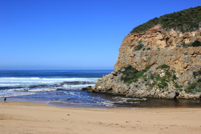
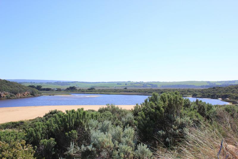
Discharge out to east, waves from longshore drift across mouth sending small waves down channel into estuary
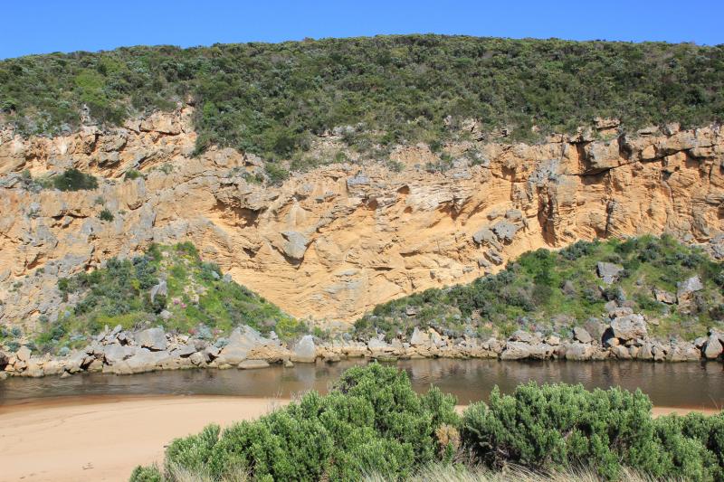
Beach highest at east end, curved to about half way then projecting out to sea. Height then reduces toward west. Eastern end is higher. Occasional waves going over beach front, then waves travelling to west along depression. Dunes at east end have been eroded back to stratified sandstone & sand now covers the previously exposed ocean reef. Maram grass re veg occurring at base of dunes closer to entrance
Another dead kangaroo on beach close to east end
Senecio elegans prolific along low track, western cliff face & in sand dunes
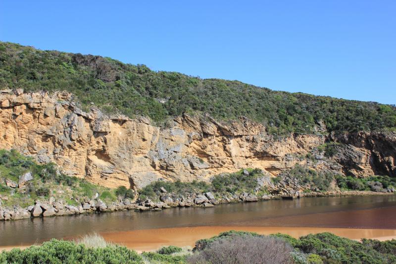
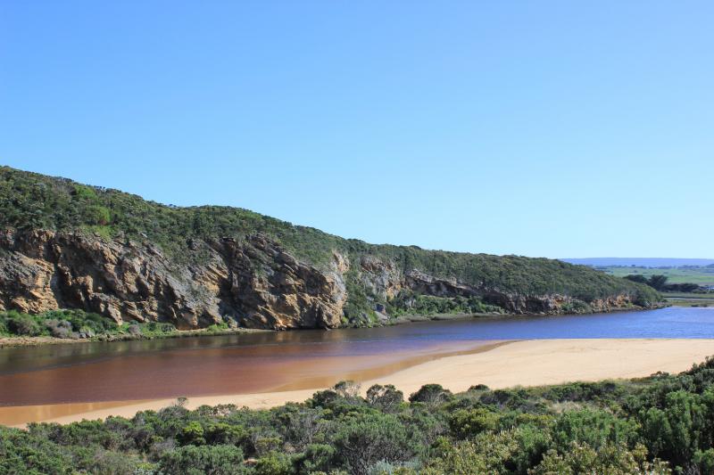
Water has drained around G4 but large areas of visible water remain around G5
We acknowledge and respect Victorian Traditional Owners as the original custodians of Victoria’s land and waters, their unique ability to care for Country and deep spiritual connection to it.
We honour Elders past and present whose knowledge and wisdom has ensured the continuation of culture and traditional practices.
We honour Elders past and present whose knowledge and wisdom has ensured the continuation of culture and traditional practices.
 All content, files, data and images provided by the EstuaryWatch Data Portal subject to a Creative Commons Attribution License
Data portal by CeRDI
All content, files, data and images provided by the EstuaryWatch Data Portal subject to a Creative Commons Attribution License
Data portal by CeRDI