GMC Gellibrand River Estuary Mouth Observation Site
17 September 2017
Observation details
Overview
| Estuary | Gellibrand River Estuary |
|---|---|
| Site | Gellibrand River Estuary Mouth Observation Site |
| Observation ID | #11453 |
| Date and Time | Sunday 17th September 2017 08:40am |
| Approved | Approved |
Notes
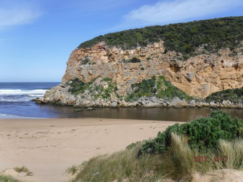
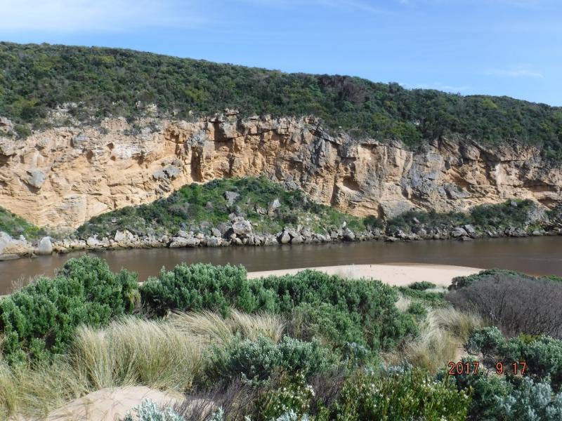
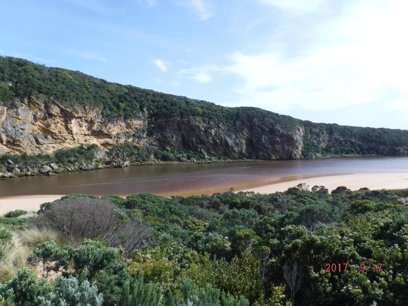
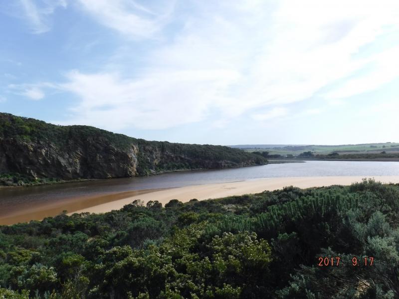
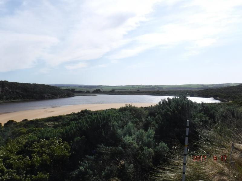
AHD board covered with silt almost un readable
Dark dirty discharge out flowing strongly to east. Strong longshore drift over mouth.
Beach highest at east end. Flow on both sides of rocks.
More rock fall on southern cliff face.
Two Peregrine falcons over cliff. Stick cadis on beach at channel/entrance.
Turbidity very high in estuary.
Waves going along base of cliff S-N direction in estuary
We acknowledge and respect Victorian Traditional Owners as the original custodians of Victoria’s land and waters, their unique ability to care for Country and deep spiritual connection to it.
We honour Elders past and present whose knowledge and wisdom has ensured the continuation of culture and traditional practices.
We honour Elders past and present whose knowledge and wisdom has ensured the continuation of culture and traditional practices.
 All content, files, data and images provided by the EstuaryWatch Data Portal subject to a Creative Commons Attribution License
Data portal by CeRDI
All content, files, data and images provided by the EstuaryWatch Data Portal subject to a Creative Commons Attribution License
Data portal by CeRDI