GMC Gellibrand River Estuary Mouth Observation Site
7 September 2017
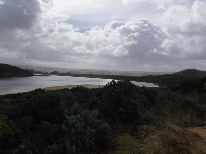
Observation details
Overview
| Estuary | Gellibrand River Estuary |
|---|---|
| Site | Gellibrand River Estuary Mouth Observation Site |
| Observation ID | #11440 |
| Date and Time | Thursday 7th September 2017 10:33am |
| Approved | Approved |
Notes
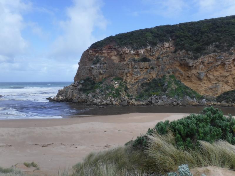
Strong, dark and dirty discharge out, turning east
SW swell crossing over outflow (also long shore drift) - waves in all directions
Large amount of sand visible in breakers out to sea
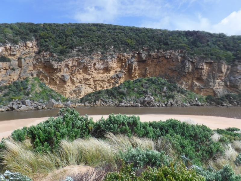
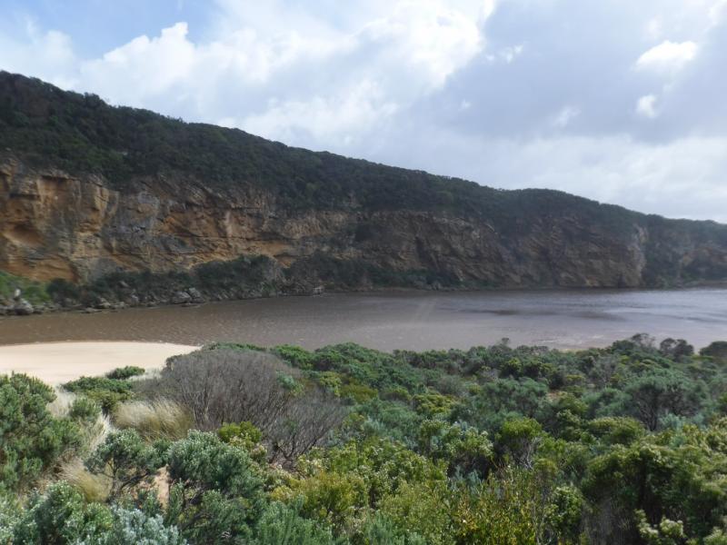
sand E side of channel 1.30m sheer side from erosion caused by recent high seas
More rock down south & south east sides of Point Ronald
extensive erosion/debris low track
We acknowledge and respect Victorian Traditional Owners as the original custodians of Victoria’s land and waters, their unique ability to care for Country and deep spiritual connection to it.
We honour Elders past and present whose knowledge and wisdom has ensured the continuation of culture and traditional practices.
We honour Elders past and present whose knowledge and wisdom has ensured the continuation of culture and traditional practices.
 All content, files, data and images provided by the EstuaryWatch Data Portal subject to a Creative Commons Attribution License
Data portal by CeRDI
All content, files, data and images provided by the EstuaryWatch Data Portal subject to a Creative Commons Attribution License
Data portal by CeRDI