GMC Gellibrand River Estuary Mouth Observation Site
20 August 2017
Observation details
Overview
| Estuary | Gellibrand River Estuary |
|---|---|
| Site | Gellibrand River Estuary Mouth Observation Site |
| Observation ID | #11403 |
| Date and Time | Sunday 20th August 2017 11:00am |
| Approved | Approved |
Notes
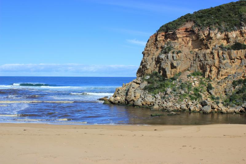
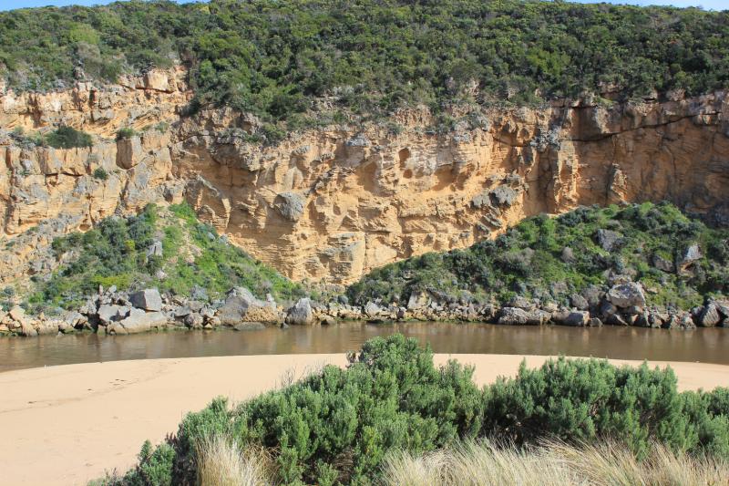
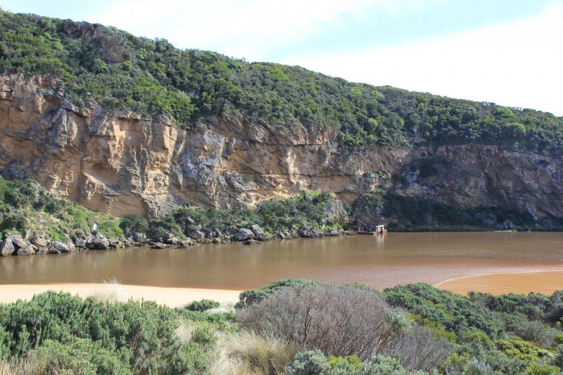
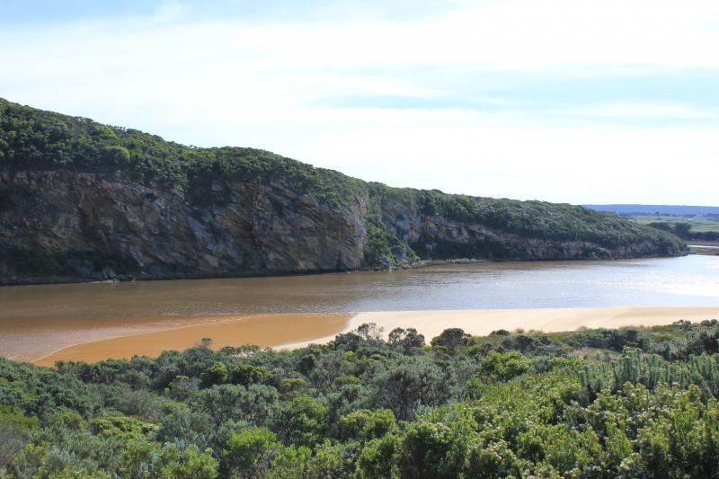
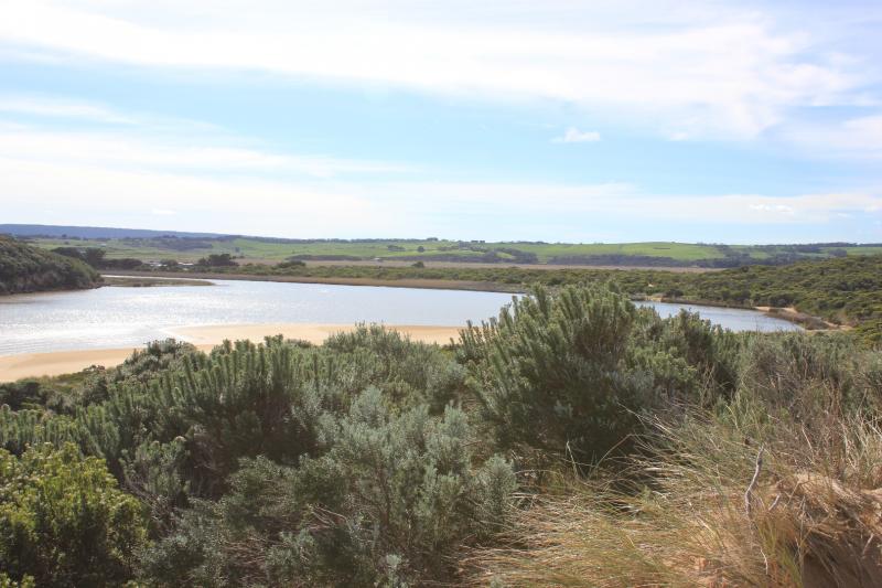
Very strong dark & dirty discharge out travelling east along shore line toward Rivernook beach & beyond. Beach has large amount of debris in swash line & is heavily covered with silt at mid beach & further east. Water throughout the estuary very brown & opaque. Much silt & debris collected along south side of estuary
Steep sheer side to dunes has been cut N.E. of channel.Start of high track has drop of about 70 cm.
Low track has water in low areas also remains of 2 dead Kangaroos caught in reeds
We acknowledge and respect Victorian Traditional Owners as the original custodians of Victoria’s land and waters, their unique ability to care for Country and deep spiritual connection to it.
We honour Elders past and present whose knowledge and wisdom has ensured the continuation of culture and traditional practices.
We honour Elders past and present whose knowledge and wisdom has ensured the continuation of culture and traditional practices.
 All content, files, data and images provided by the EstuaryWatch Data Portal subject to a Creative Commons Attribution License
Data portal by CeRDI
All content, files, data and images provided by the EstuaryWatch Data Portal subject to a Creative Commons Attribution License
Data portal by CeRDI