GMC Gellibrand River Estuary Mouth Observation Site
12 August 2017
Observation details
Overview
| Estuary | Gellibrand River Estuary |
|---|---|
| Site | Gellibrand River Estuary Mouth Observation Site |
| Observation ID | #11390 |
| Date and Time | Saturday 12th August 2017 12:10pm |
| Approved | Approved |
Notes
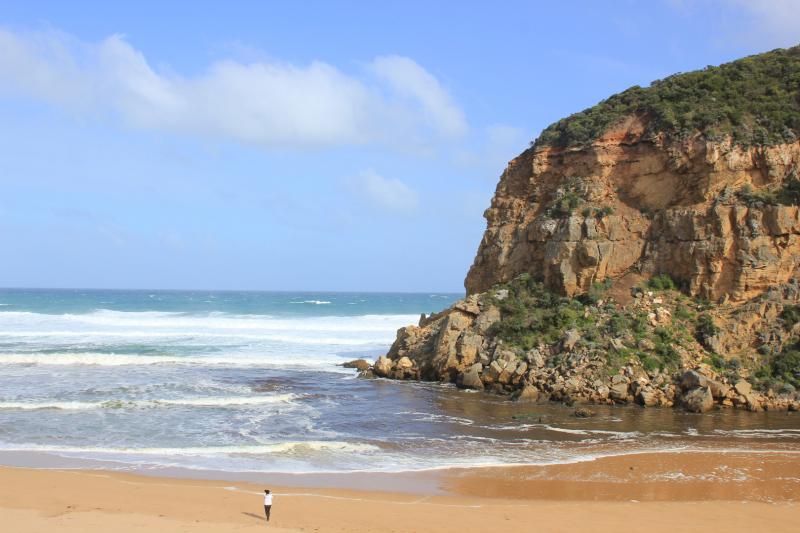
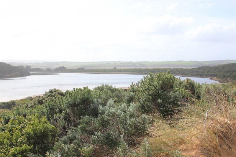
Dark discharge mainly around mouth
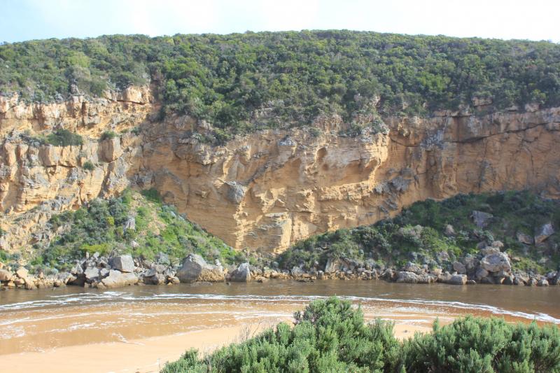
Waves going high up on beach, entering mouth over wide area. Beach has been levelled out with large amount of sand visible in backwash going out to sea
Overnight storm surge (6-7 m. high waves) has cut into area at start of channel creating a .5m. -1.5 m. high sheer face on dune below Gp1.
Wind in different directions only 4 at Gp1 (sheltered by west cliff) but 6 on beach & eastern part of estuary
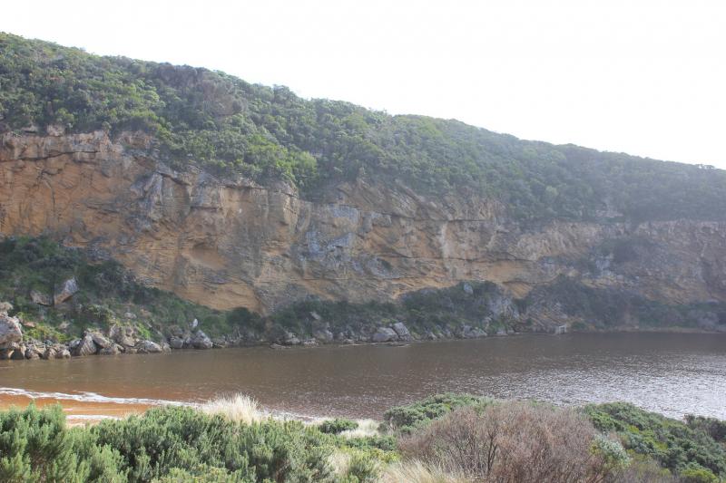
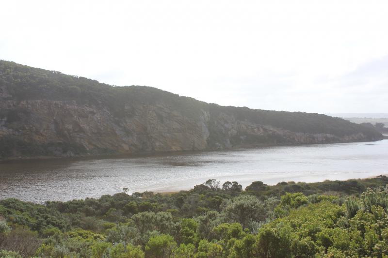
Low track is under water but no water on any other road or track apart from some at north side of OOR near flood markers. Water pouring through eastern culvert but more water has built up at side of road near west culvert which remains blocked
Large areas of flooding upstream G4 Turbidity G6 29 NTU'S (east side) 24 NTU's (west side)
We honour Elders past and present whose knowledge and wisdom has ensured the continuation of culture and traditional practices.
 All content, files, data and images provided by the EstuaryWatch Data Portal subject to a Creative Commons Attribution License
Data portal by CeRDI
All content, files, data and images provided by the EstuaryWatch Data Portal subject to a Creative Commons Attribution License
Data portal by CeRDI