GMC Gellibrand River Estuary Mouth Observation Site
8 August 2017
Observation details
Overview
| Estuary | Gellibrand River Estuary |
|---|---|
| Site | Gellibrand River Estuary Mouth Observation Site |
| Observation ID | #11389 |
| Date and Time | Tuesday 8th August 2017 10:50am |
| Approved | Approved |
Notes
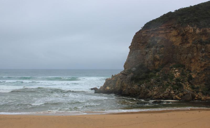
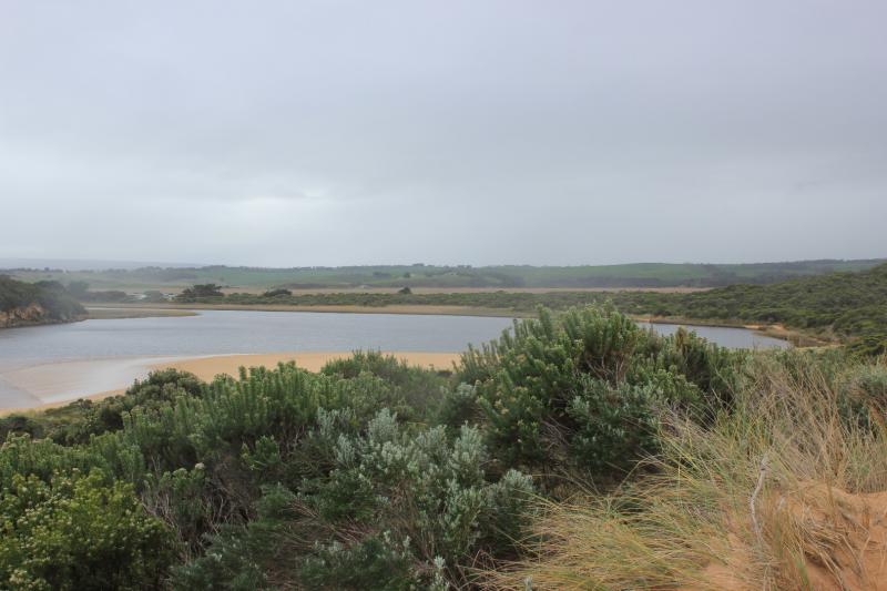
Pale coloured discharge out around mouth but salt water visible entering up to rocks where dark divide occurs. Strong longshore drift across mouth over outflow & incoming sw/wsw swell
Beach very wide - highest at east end but also high at mid beach after which it slopes down to the mouth. Wind & waves have scoured the face of the dunes at east end
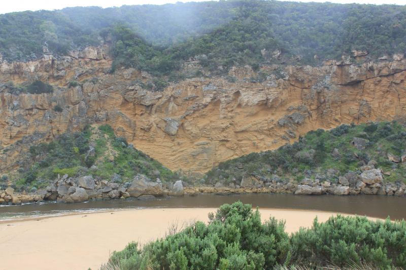
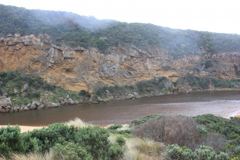
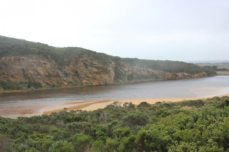
Channel has become more curved with large waves from V rough seas turning east at start of the estuary. Waves have impacted on low track
Large areas of flooding upstream G4 with considerable rise in turbidity G2 17 NTU's pH 6.5 Lt1 15 NTU's pH 7.0 G6 22 NTU's pH 7.2
We acknowledge and respect Victorian Traditional Owners as the original custodians of Victoria’s land and waters, their unique ability to care for Country and deep spiritual connection to it.
We honour Elders past and present whose knowledge and wisdom has ensured the continuation of culture and traditional practices.
We honour Elders past and present whose knowledge and wisdom has ensured the continuation of culture and traditional practices.
 All content, files, data and images provided by the EstuaryWatch Data Portal subject to a Creative Commons Attribution License
Data portal by CeRDI
All content, files, data and images provided by the EstuaryWatch Data Portal subject to a Creative Commons Attribution License
Data portal by CeRDI