GMC Gellibrand River Estuary Mouth Observation Site
16 June 2017
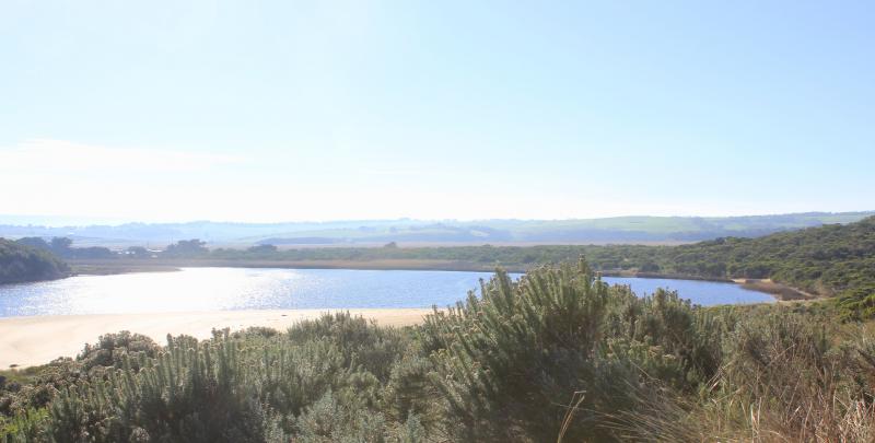
Observation details
Overview
| Estuary | Gellibrand River Estuary |
|---|---|
| Site | Gellibrand River Estuary Mouth Observation Site |
| Observation ID | #11266 |
| Date and Time | Friday 16th June 2017 10:39am |
| Approved | Approved |
Notes
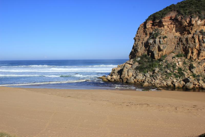
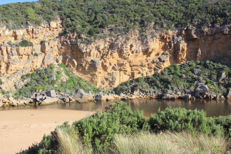
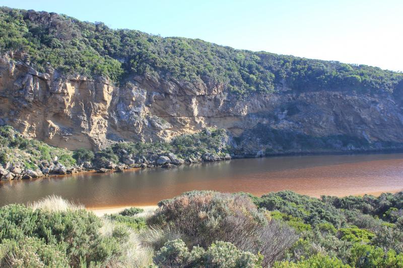
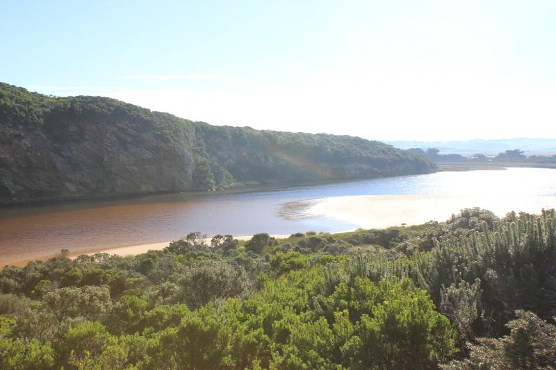
Dark discharge out to east along beach face then turning out to sea before east end Diminishing outflow is over increasing sand build up at entrance & in channel
Longshore drift across mouth meeting incoming SW swell & outflow but small waves were entering up into estuary. Salt water (green) visible to start of estuary. Salt water was also observed entering 14/06/17
Beach curved with high gradual slope.
We acknowledge and respect Victorian Traditional Owners as the original custodians of Victoria’s land and waters, their unique ability to care for Country and deep spiritual connection to it.
We honour Elders past and present whose knowledge and wisdom has ensured the continuation of culture and traditional practices.
We honour Elders past and present whose knowledge and wisdom has ensured the continuation of culture and traditional practices.
 All content, files, data and images provided by the EstuaryWatch Data Portal subject to a Creative Commons Attribution License
Data portal by CeRDI
All content, files, data and images provided by the EstuaryWatch Data Portal subject to a Creative Commons Attribution License
Data portal by CeRDI