GMC Gellibrand River Estuary Mouth Observation Site
3 June 2017
Observation details
Overview
| Estuary | Gellibrand River Estuary |
|---|---|
| Site | Gellibrand River Estuary Mouth Observation Site |
| Observation ID | #11250 |
| Date and Time | Saturday 3rd June 2017 11:46am |
| Approved | Approved |
Notes
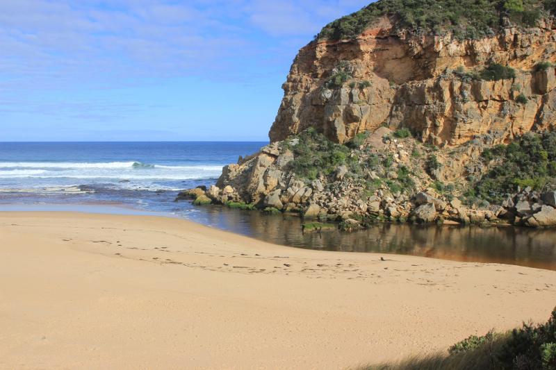
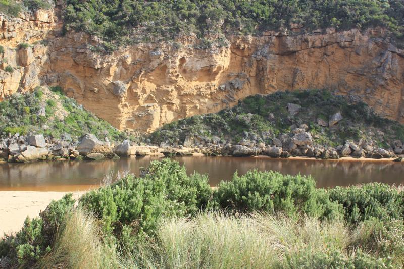
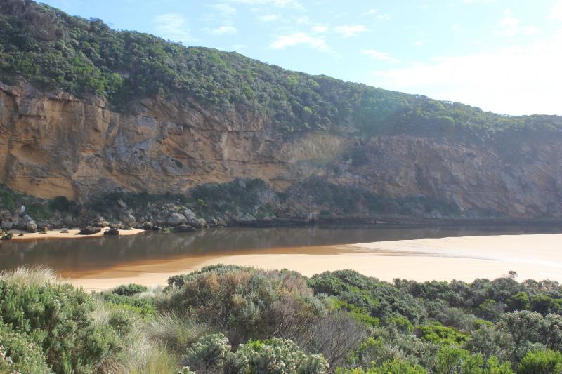
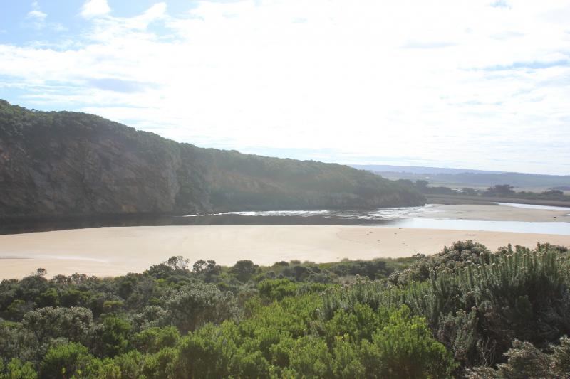
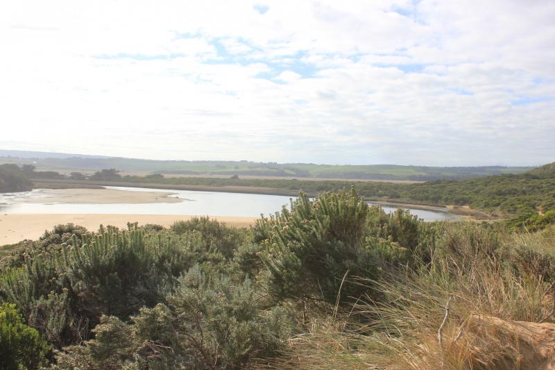
Flow continues to reduce & a few small waves occasionally enter. Dark discharge out along foreshore to about 1/2 way along beach. Strong longshore drift across mouth
Extreme low water levels in estuary/channel again - even lower than on 20170601 G2 AHD 0.19 @ 11:46 G6 1.52 @ 11:30.
Sandbar in estuary is not far away from projecting sand on south side below dunes leaving only a narrow flow channel. Large areas of sand are exposed on east side exposing sea grass partially covered by silt, algae & pale slick
We acknowledge and respect Victorian Traditional Owners as the original custodians of Victoria’s land and waters, their unique ability to care for Country and deep spiritual connection to it.
We honour Elders past and present whose knowledge and wisdom has ensured the continuation of culture and traditional practices.
We honour Elders past and present whose knowledge and wisdom has ensured the continuation of culture and traditional practices.
 All content, files, data and images provided by the EstuaryWatch Data Portal subject to a Creative Commons Attribution License
Data portal by CeRDI
All content, files, data and images provided by the EstuaryWatch Data Portal subject to a Creative Commons Attribution License
Data portal by CeRDI