GMC Gellibrand River Estuary Mouth Observation Site
20 May 2017
Observation details
Overview
| Estuary | Gellibrand River Estuary |
|---|---|
| Site | Gellibrand River Estuary Mouth Observation Site |
| Observation ID | #11184 |
| Date and Time | Saturday 20th May 2017 11:10am |
| Approved | Approved |
Notes
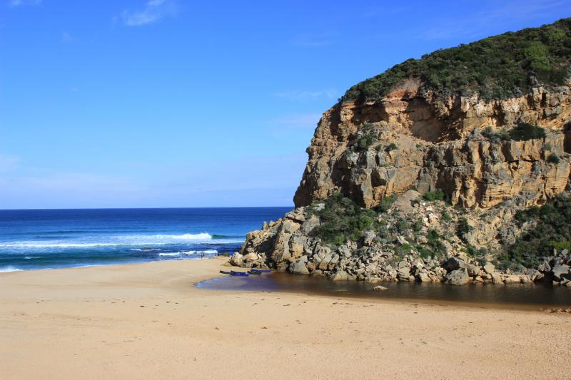
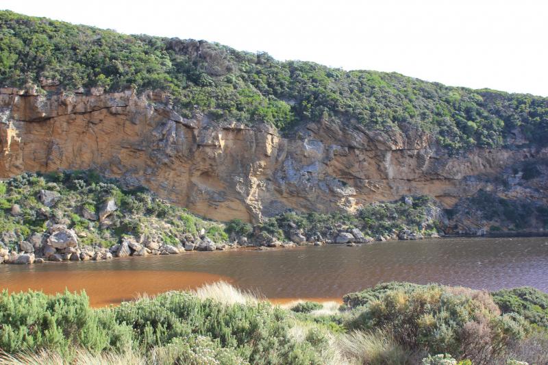
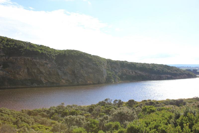
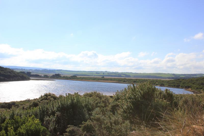
Mouth barred but swash line & sand indicate over topping at last hi tide. Front of estuary only about 32m from ocean. Water level high in estuary with some flooding upstream. No water over top track or any roads
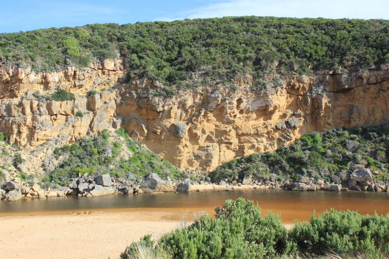
Beach horseshoe shaped with deep N/S ridges from backwash, waves entering further in these areas. Part of 'sand cliffs' remain
Erosion continues along face of Pt Ronald where sand extends further out to sea than with previous closures
We acknowledge and respect Victorian Traditional Owners as the original custodians of Victoria’s land and waters, their unique ability to care for Country and deep spiritual connection to it.
We honour Elders past and present whose knowledge and wisdom has ensured the continuation of culture and traditional practices.
We honour Elders past and present whose knowledge and wisdom has ensured the continuation of culture and traditional practices.
 All content, files, data and images provided by the EstuaryWatch Data Portal subject to a Creative Commons Attribution License
Data portal by CeRDI
All content, files, data and images provided by the EstuaryWatch Data Portal subject to a Creative Commons Attribution License
Data portal by CeRDI