GMC Gellibrand River Estuary Mouth Observation Site
30 April 2017
Observation details
Overview
| Estuary | Gellibrand River Estuary |
|---|---|
| Site | Gellibrand River Estuary Mouth Observation Site |
| Observation ID | #11154 |
| Date and Time | Sunday 30th April 2017 11:20am |
| Approved | Approved |
Notes
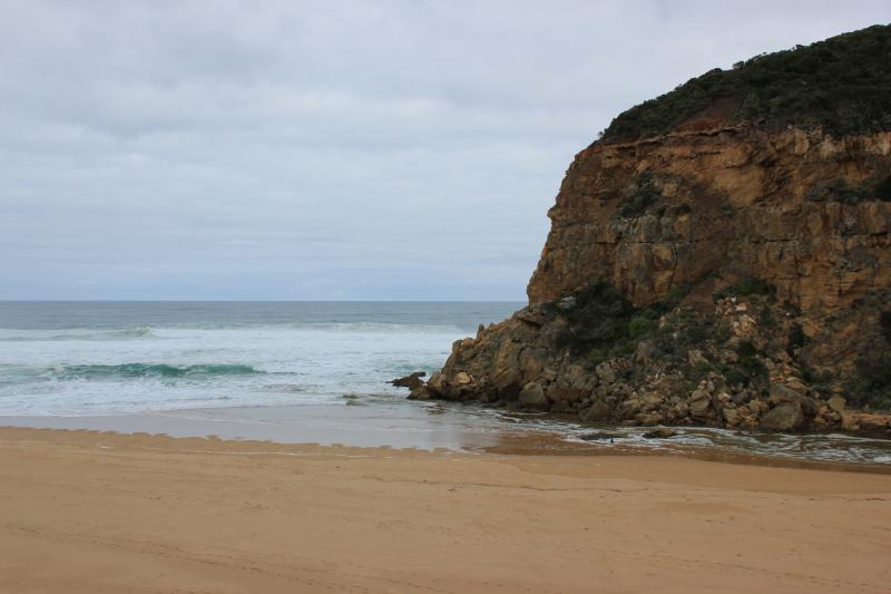
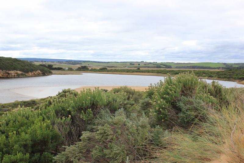
Flow is both in & out. The darker discharge is not visible - held back by incoming waves sending salt water (green) upstream of rocks. Long shore drift across mouth over outflow meeting SW/WSW swell - creating a whirl pool around rocks.
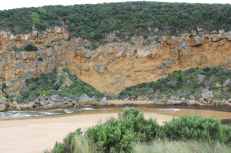
Waves are travelling far into the estuary over an unusual sand formation extending north alongside channel. Recent storms have created both wind & wave action that has re shaped dunes, beach & channel.
Beach has high slopping face- very high midway ( beach very curved) where waves are frequently over topping. (very high & very low tides occuring) A high sand projection at near east end extends far into sea where large areas of sand can be seen in backwash
24 Coots & 1 Black duck on estuary
We acknowledge and respect Victorian Traditional Owners as the original custodians of Victoria’s land and waters, their unique ability to care for Country and deep spiritual connection to it.
We honour Elders past and present whose knowledge and wisdom has ensured the continuation of culture and traditional practices.
We honour Elders past and present whose knowledge and wisdom has ensured the continuation of culture and traditional practices.
 All content, files, data and images provided by the EstuaryWatch Data Portal subject to a Creative Commons Attribution License
Data portal by CeRDI
All content, files, data and images provided by the EstuaryWatch Data Portal subject to a Creative Commons Attribution License
Data portal by CeRDI