GMC Gellibrand River Estuary Mouth Observation Site
22 April 2017
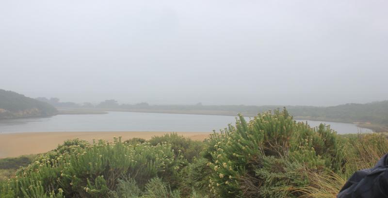
Observation details
Overview
| Estuary | Gellibrand River Estuary |
|---|---|
| Site | Gellibrand River Estuary Mouth Observation Site |
| Observation ID | #11112 |
| Date and Time | Saturday 22nd April 2017 10:45am |
| Approved | Approved |
Notes
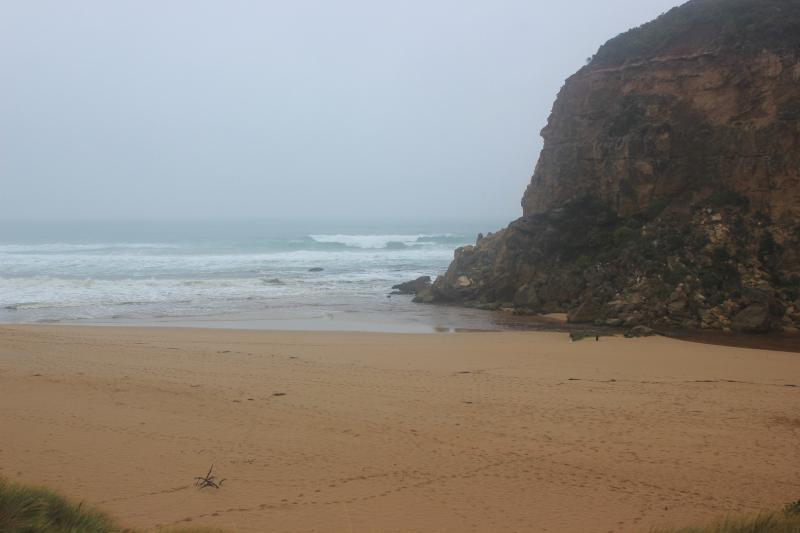
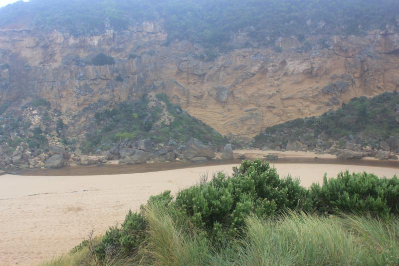
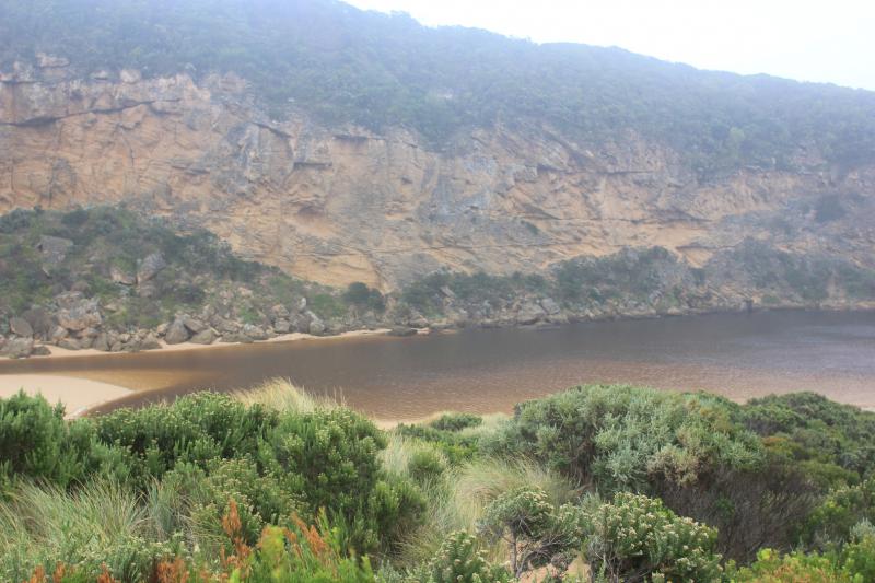
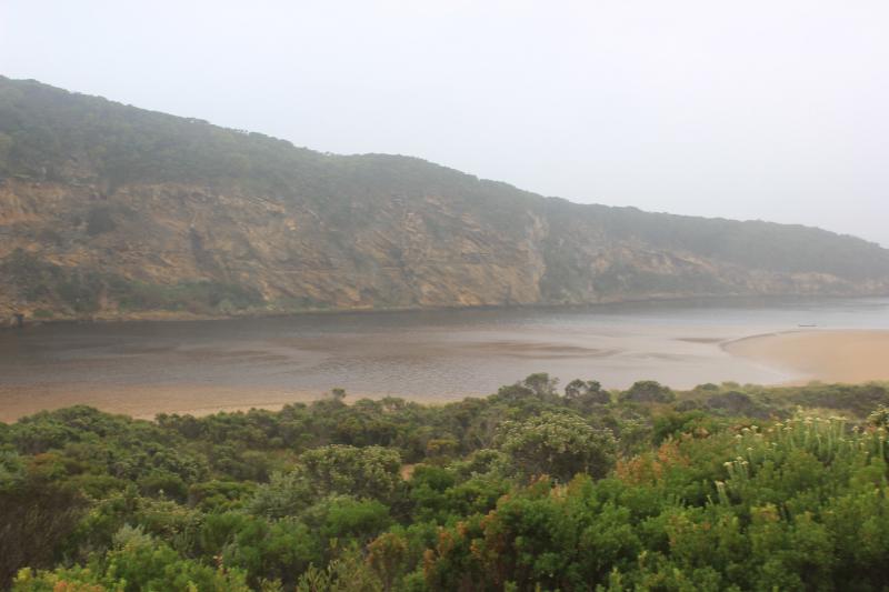
Low visibility because of rain & mist
Very reduced outflow, discharge only around mouth. Channel from estuary has filled in, more shallow & narrow - about 8m. midway. Entrance has more sand build up east of rocks
Very strong long shore drift over outflow & incoming SW swell
Beach has high sand built up areas in a north south direction. Projections near east end & 2nd one close to entrance creating a horseshoe shape
We acknowledge and respect Victorian Traditional Owners as the original custodians of Victoria’s land and waters, their unique ability to care for Country and deep spiritual connection to it.
We honour Elders past and present whose knowledge and wisdom has ensured the continuation of culture and traditional practices.
We honour Elders past and present whose knowledge and wisdom has ensured the continuation of culture and traditional practices.
 All content, files, data and images provided by the EstuaryWatch Data Portal subject to a Creative Commons Attribution License
Data portal by CeRDI
All content, files, data and images provided by the EstuaryWatch Data Portal subject to a Creative Commons Attribution License
Data portal by CeRDI