GMC Gellibrand River Estuary Mouth Observation Site
14 April 2017
Observation details
Overview
| Estuary | Gellibrand River Estuary |
|---|---|
| Site | Gellibrand River Estuary Mouth Observation Site |
| Observation ID | #11110 |
| Date and Time | Friday 14th April 2017 11:36am |
| Approved | Approved |
Notes
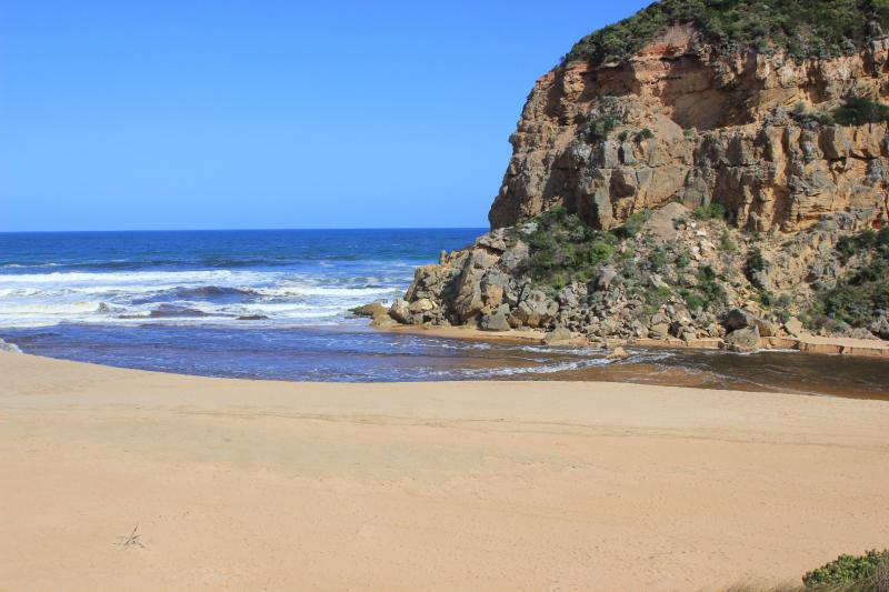
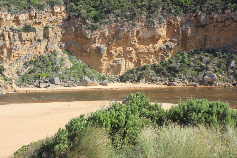
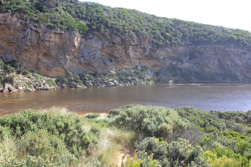
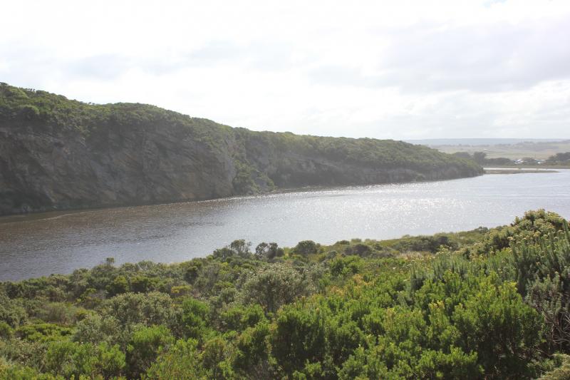
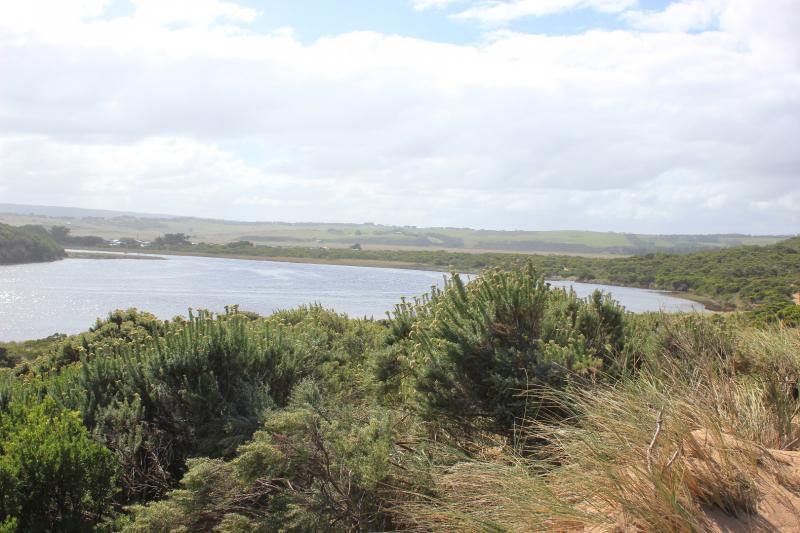
Flowing very strongly out of a wide entrance, dark discharge around mouth & to east. Channel is wide at entrance & very wide at entry from estuary where it forms a curve around the Gp1 dune site. Channel also widens significantly level with rocks where flow swings around to east.
Channel bank on east side is sheer and starts at .3m from estuary, .80m just before rocks & over 2.5m at ocean.
Waves are entering across a very wide area over out flow.Waves going upstream are being created by both long shore drift and incoming swell. This activity is creating a whirlpool at rocks with a great deal of sand visible in water. Sand build up visible around & directly downstream of rocks
Beach face is gradual slope with waves travelling up to dunes at east.
Musk duck sighted on estuary
We honour Elders past and present whose knowledge and wisdom has ensured the continuation of culture and traditional practices.
 All content, files, data and images provided by the EstuaryWatch Data Portal subject to a Creative Commons Attribution License
Data portal by CeRDI
All content, files, data and images provided by the EstuaryWatch Data Portal subject to a Creative Commons Attribution License
Data portal by CeRDI