Skip to content
 
EstuaryWatch Data Portal
Volunteer Login

Back to list of observations

Observation details

Overview

Estuary Anglesea River Estuary
Site Anglesea River Estuary Mouth Observation Site
Observation ID #11102
Date and Time Wednesday 19th April 2017 09:05am
Approved Approved

Notes

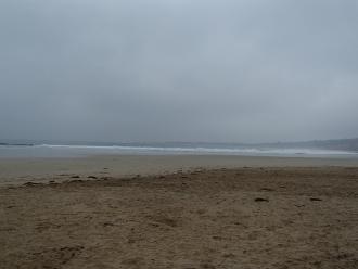
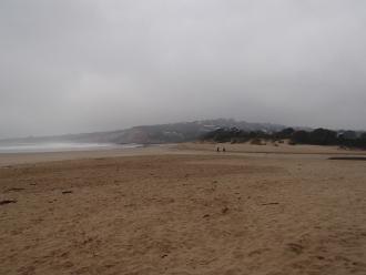
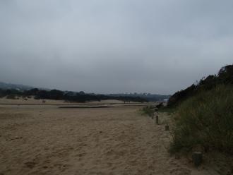
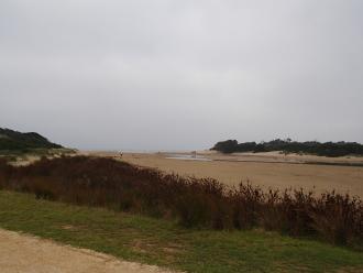
Photosite Ap2 needs to be moved because of rapid growth of vegetation on the dune, which is blocking out the view of the estuary, probably due to abundant RF this year. Coordinator will record new site before next observation and adjust the relevant documentation.

Mouth Observation

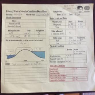
Mouth state Closed
Previous
Flow Present? No
Previous
Flow Direction N/A
Previous
Above Sea Above Estuary
Berm Height (m) 2.1m 0.1m
Berm Length (m) 155.0m

Physical Condition

Current Mode
Wind Direction North-East
Beaufort Scale Light Air
Sea State Slight

Water Levels and Tides

Water Level Start Finish
Height (m) 1.33m 1.31m
Time (hh:mm) 09:05 11:55
Tidal influence No
Tidal Range Time Height
High 17:09 1.550
Low 10:25 0.380

Observation Documents

Link Date File name Description
19-04-2017 09:40 P4190122.JPG ap1_1
19-04-2017 09:40 P4190123.JPG ap1_2
19-04-2017 09:40 P4190125.JPG ap1_3
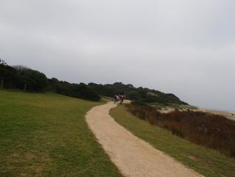
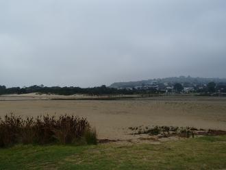
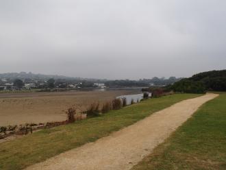
19-04-2017 09:40 P4190135.JPG ap3_1
19-04-2017 09:40 P4190134.JPG ap3_2
19-04-2017 09:40 P4190133.JPG ap3_3
19-04-2017 09:40 P4190132.JPG ap3_4
19-04-2017 09:40 IMG_3840.jpeg