GMC Gellibrand River Estuary Mouth Observation Site
6 April 2017
Observation details
Overview
| Estuary | Gellibrand River Estuary |
|---|---|
| Site | Gellibrand River Estuary Mouth Observation Site |
| Observation ID | #11065 |
| Date and Time | Thursday 6th April 2017 13:02pm |
| Approved | Approved |
Notes
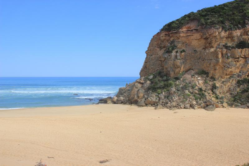
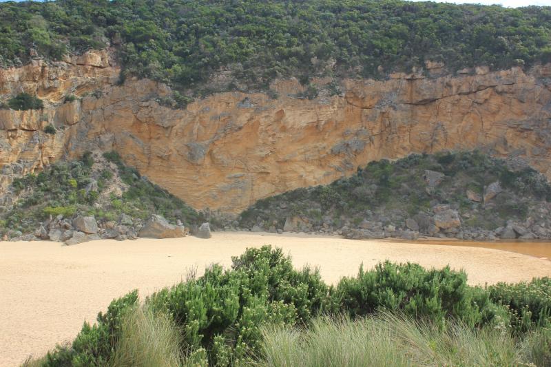
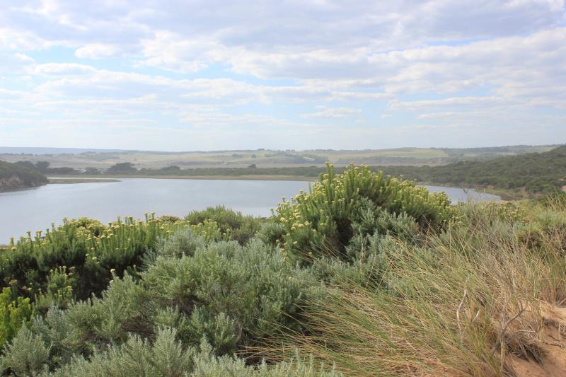
Mouth closed - very long wide bar with wide front across estuary
Beach highest at east end but also high area just east of the channel. There are deep channels along beach front running north to south. Actual area directly in front of mouth is extremely low compared with rest of beach, and being continually scoured out by by waves coming up over the 1st small berm closest to sea then running west along a lower channel dividing 1st and higher 2nd berm
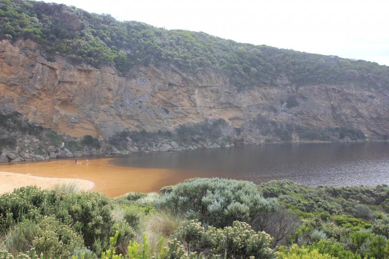
Low track completely under water with many small fish observed, high track has water cover in low area, no visible water cover in camp ground and water only at sides of OOR near flood markers
We acknowledge and respect Victorian Traditional Owners as the original custodians of Victoria’s land and waters, their unique ability to care for Country and deep spiritual connection to it.
We honour Elders past and present whose knowledge and wisdom has ensured the continuation of culture and traditional practices.
We honour Elders past and present whose knowledge and wisdom has ensured the continuation of culture and traditional practices.
 All content, files, data and images provided by the EstuaryWatch Data Portal subject to a Creative Commons Attribution License
Data portal by CeRDI
All content, files, data and images provided by the EstuaryWatch Data Portal subject to a Creative Commons Attribution License
Data portal by CeRDI