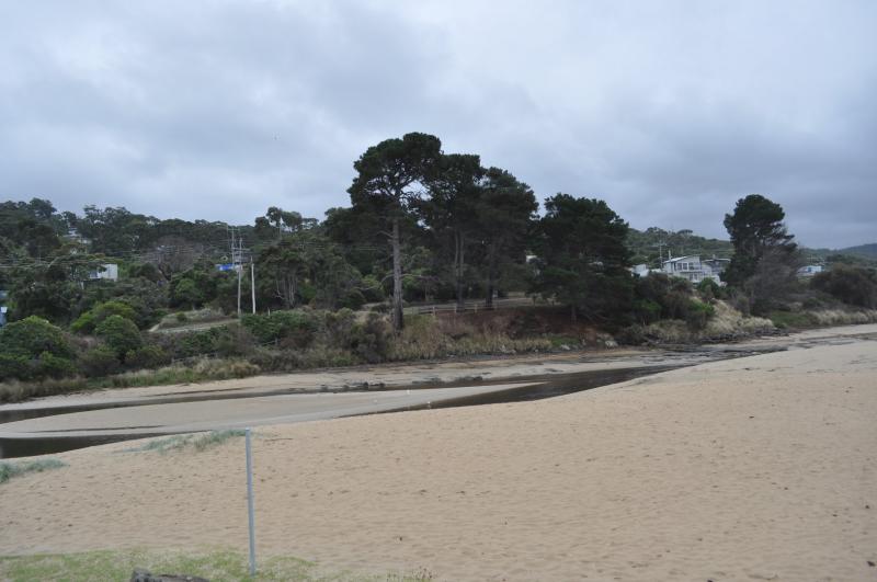
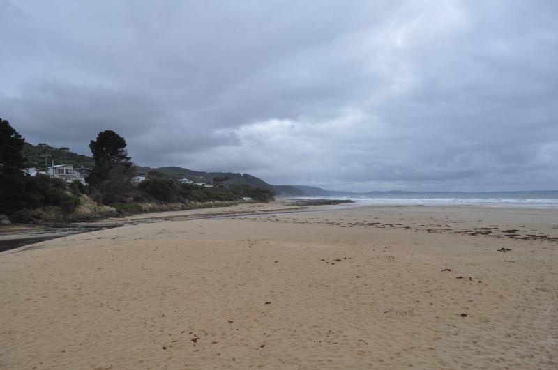
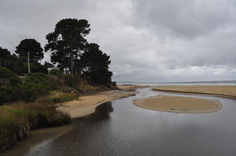
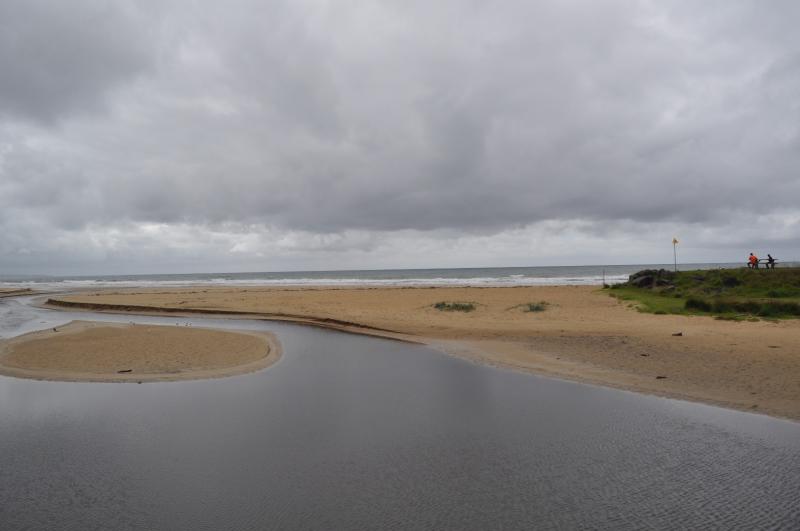
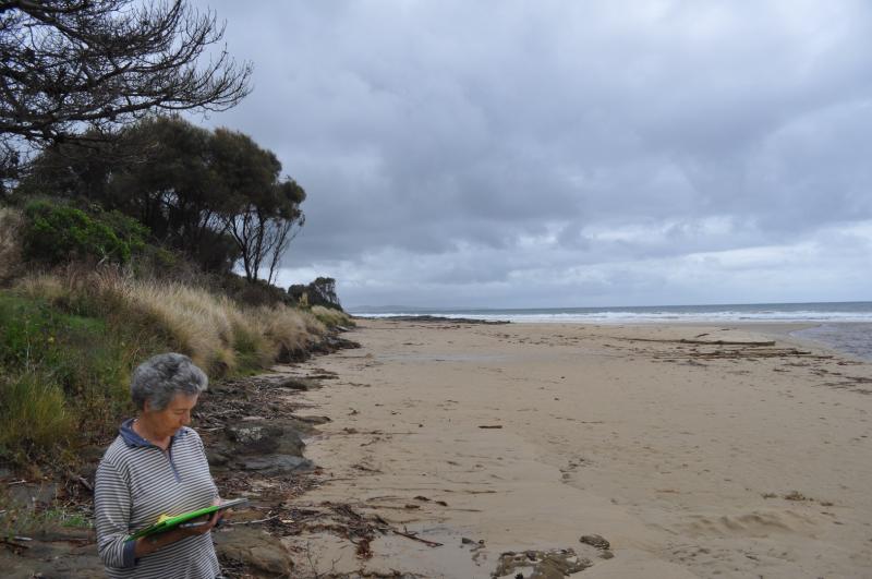
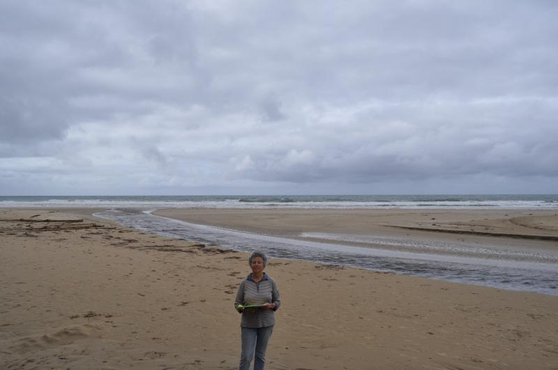
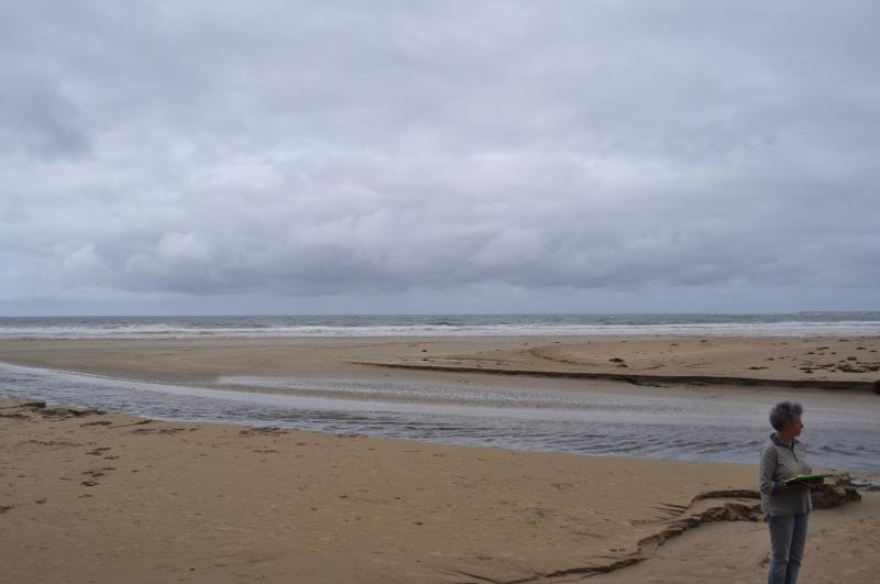
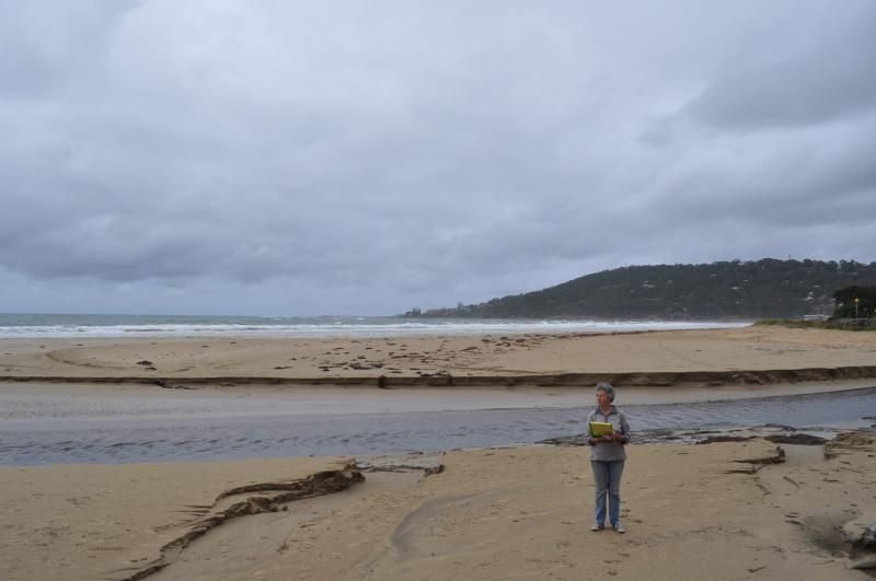
EMC Erskine River Estuary Mouth Observation Site
22 March 2017
Observation details
Overview
| Estuary | Erskine River Estuary |
|---|---|
| Site | Erskine River Estuary Mouth Observation Site |
| Observation ID | #10996 |
| Date and Time | Wednesday 22nd March 2017 11:55am |
| Approved | Approved |
Notes
1. The depth guage on the bridge was so dirty that we had difficulty in getting accurate measurements.
2. Don has asked me to pass on to you that he has noticed that when he takes a compass measurement on the swing bridge with the compass directly over the iron railing there is a difference of 20 degrees to when he steps back a couple of paces.
We acknowledge and respect Victorian Traditional Owners as the original custodians of Victoria’s land and waters, their unique ability to care for Country and deep spiritual connection to it.
We honour Elders past and present whose knowledge and wisdom has ensured the continuation of culture and traditional practices.
We honour Elders past and present whose knowledge and wisdom has ensured the continuation of culture and traditional practices.
 All content, files, data and images provided by the EstuaryWatch Data Portal subject to a Creative Commons Attribution License
Data portal by CeRDI
All content, files, data and images provided by the EstuaryWatch Data Portal subject to a Creative Commons Attribution License
Data portal by CeRDI