GMC Gellibrand River Estuary Mouth Observation Site
11 March 2017
Observation details
Overview
| Estuary | Gellibrand River Estuary |
|---|---|
| Site | Gellibrand River Estuary Mouth Observation Site |
| Observation ID | #10985 |
| Date and Time | Saturday 11th March 2017 07:50am |
| Approved | Approved |
Notes
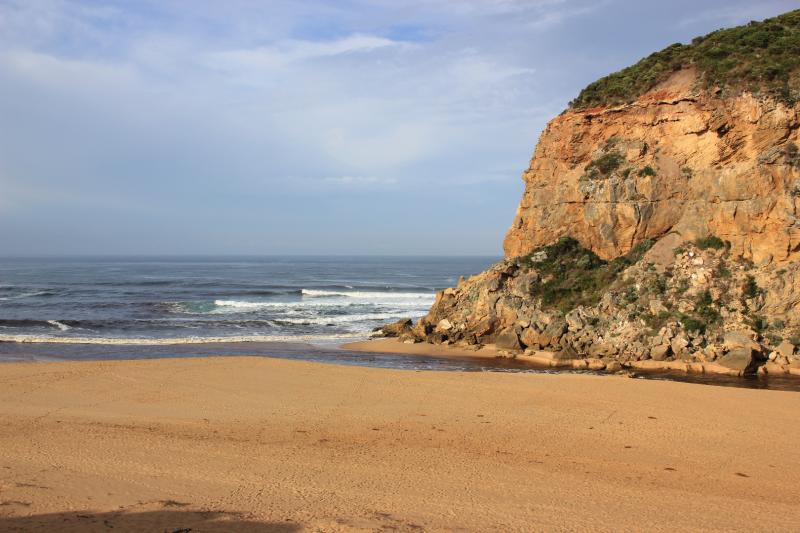
Dark discharge out around mouth & along beach face to east end & also out to sea at end of new sandbar forming about 30- 40m out from mouth, also a 2nd. small bar seems to be forming from cliff across entrance
Out flow wider & deeper but being held higher in curve at 'rocks'(only 1 uncovered) after which it turns toward east with sides up to about 2m. Beach curved high at E end & projecting out to sea at mid beach
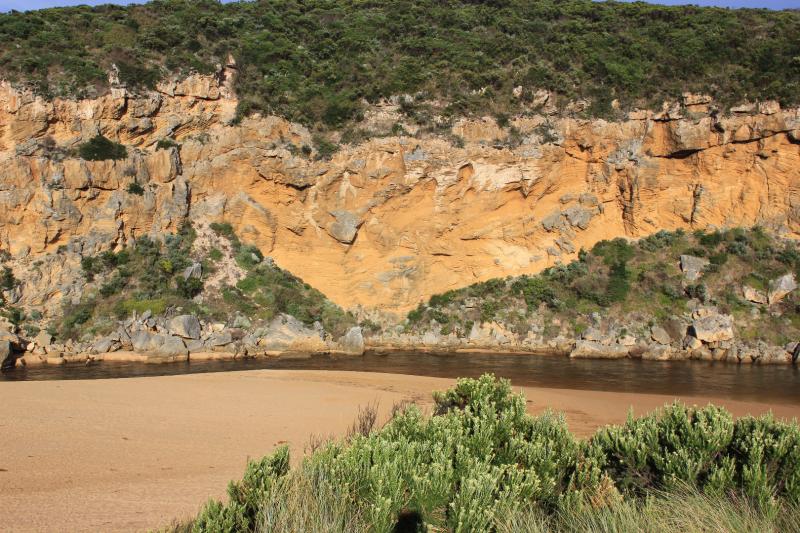
Red sediment/algae?& iridescent slick on water surface S/E & E side of estuary.Water flowing along west bank(G2) from Latrobe creek contains fish with open mouths at surface but large amount of small fish activity along shallow water at side of low track- 1 dead Silver Trevally at start of estuary/channel
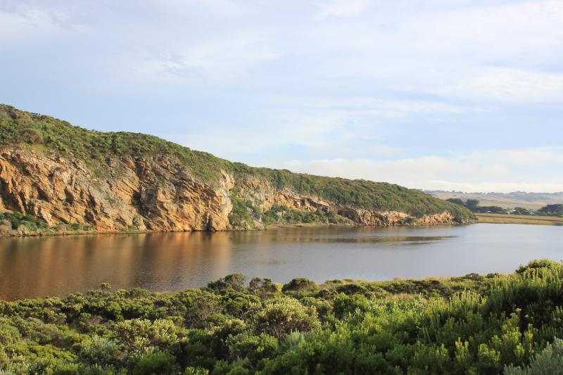
Water nearly drained from all areas up stream

We honour Elders past and present whose knowledge and wisdom has ensured the continuation of culture and traditional practices.
 All content, files, data and images provided by the EstuaryWatch Data Portal subject to a Creative Commons Attribution License
Data portal by CeRDI
All content, files, data and images provided by the EstuaryWatch Data Portal subject to a Creative Commons Attribution License
Data portal by CeRDI